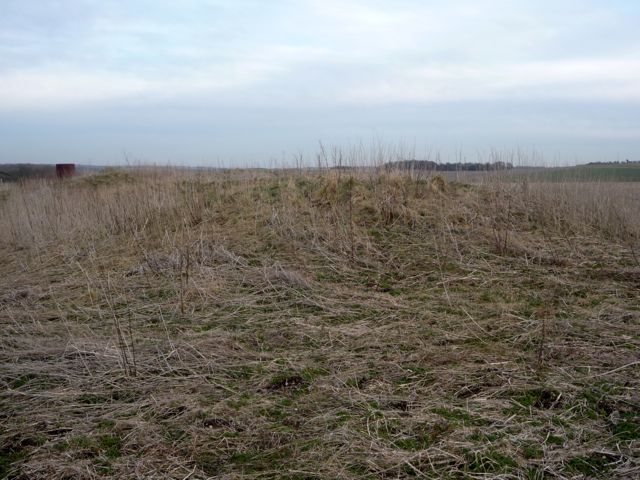
Looking east across Three Barrows.
Image credit: Pete Wayne 2010
Looking east across Three Barrows.


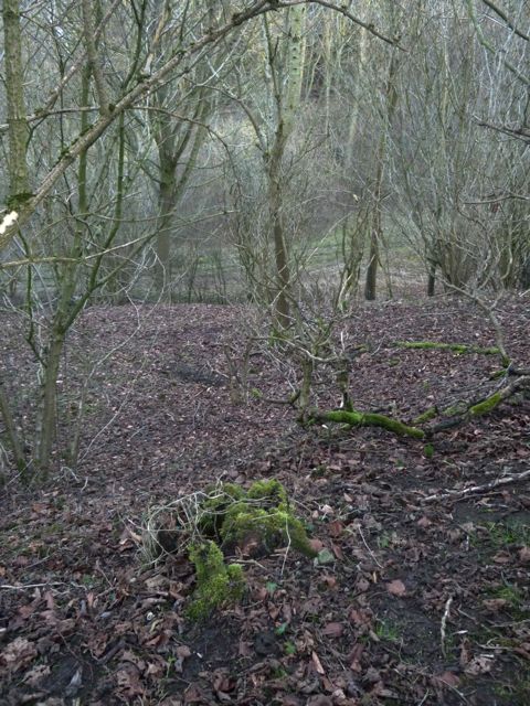
Contemporary Earthwork defining ridge just to the north of Three Barrows.


Looking north towards Three Barrows


Looking into the southern part of Hardwell Camp

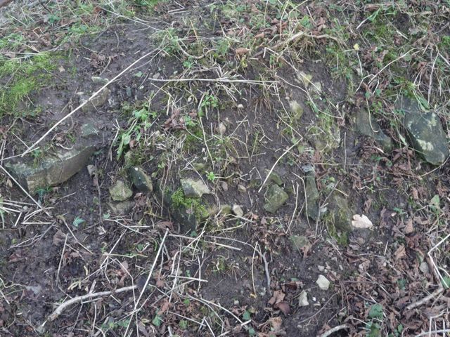
Along the western bank there seems to be Greensand dry walls possibly later date to reinforce hollow way along western bank.

East Garston Ditch at the northern end disappears probably due to the plough. The linear feature runs roughly north-south with the eastern bank higher than the western bank. Ditch depth is variable along the length from

East Garston Ditch at the northern end looking south. The linear feature runs roughly north-south with the eastern bank higher than the western bank. Ditch depth is variable along the length from

East Garston Ditch at the northern end. The linear feature runs roughly north-south with the eastern bank higher than the western bank. Ditch depth is variable along the length from

East Garston Ditch where the footpath crosses the feature looking south. The linear feature runs roughly north-south with the eastern bank higher than the western bank. Ditch depth is variable along the length from

East Garston Ditch looking south from the high point. The linear feature runs roughly north-south with the eastern bank higher than the western bank. Ditch depth is variable along the length from

Looking north along the East Garston Ditch. The linear feature runs roughly north-south with the eastern bank higher than the western bank. Ditch depth is variable along the length from

East Garston Ditch at the 4 furlong marker. The linear feature runs roughly north-south with the eastern bank higher than the western bank. Ditch depth is variable along the length from

East Garston Ditch. The linear feature runs roughly north-south with the eastern bank higher than the western bank. Ditch depth is variable along the length from

East Garston Ditch at the point where the footpath crosses the feature. The linear feature runs roughly north-south with the eastern bank higher than the western bank. Ditch depth is variable along the length from

East Garston Ditch at the 5 furlong marker. The linear feature runs roughly north-south with the eastern bank higher than the western bank. Ditch depth is variable along the length from
