
28/8/02-almost hidden in the chest high nettles!
21/7/04- the beautiful vaulted ceiling
21/7/04- looking down into the well
21/7/04- the cistern slab and the well hole
21/9/01 the quiet country road with the stone in the hedgerow
21/7/04- St. Triduana atop the wellhouse with her thorn stick for plucking out her eyes!
21/7/04- looking back up from the wellhouse
3/5/04- even greater panorama including the skyline of the Pentland Hills
3/5/04- overview of the site (which is at the top left hand corner of the wood on the right). Note Arthurs Seat left of centre and the taps O’ Fife across the Firth of Forth.
3/5/04- cairn in the foreground with the ridge of the Moorfoot Hills running away SE.
3/5/04- one of the largest cairns with a diameter of approximately 4 m.
3/5/04- the stones in the foreground. Just behind the tree, the orange marker for the pipeline.
3/5/04- remains of this circle? Three large sandstone slabs and many large stones at the edge of the field.
10/4/04- from North Berwick beach
16/4/04- looking eastward- the site is in the trees on the ridge of the small hill
16/4/04- possible stone remains in the trees
16/4/04- one of the rectangular indentations
16/4/04- the main part of the site- now a golf green
20/12/03- with Black Meldon on the left and White Meldon on the right
20/12/03- the cupmarked boulder which sits in between the two stones
20/12/03- the southernmost stone
20/12/03- the northernmost stone
20/12/03- to the South
20/12/03- to the West
20/12/03- looking North
20/12/03- looking ENE
20/12/03- from the field
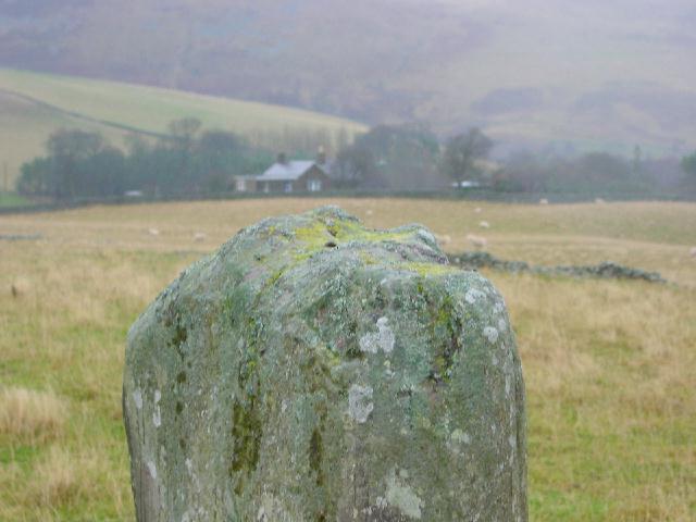
20/12/03- from SE in the field showing the full height of the monolith
20/12/03- looking NE along the wall
20/12/03- looking SW along the dry stane dyke
20/12/03- three of the larger cupmarks on the SE face
20/12/03- close up of SE face showing cupmarks
20/12/03- from the road looking NW
7/12/03- both of the modern stones
7/12/03- the grave shaped stone which simply says ‘Cheese Well‘
7/12/03- the diamond shaped stone with the Thistle motif, ‘Cheese Well’ and ‘1965’ inscribed on it.
7/12/03- the main gurgling spring (which had lots of cheese in it!)
7/12/03- the stones by the spring
7/12/03- overview of the well and stones from the Southern Upland Way
29/11/03- close up of cupmarkings
29/11/03- the two cupmarks (diameter approx 2cm) next to the ridge running the length of the stone
29/11/03
29/11/03- looking East
29/11/03- showing the angled NE face
29/11/03- the man-made cup mark
29/11/03- the natural cup mark
29/11/03- the top with Warrior’s Rest cottage and standing stone behind
29/11/03- towards the SW