
Cup & Ring Carving on NE Face of Aspers Field Standing Stone.
Image credit: Mark Johnstone

Cup & Ring Carving on NE Face of Aspers Field Standing Stone.


Approaching Andle Stone from lay-by.


Andle Stone viewed from SE (Yardstick for Scale).
Stripple Stones on Historic England
Visited 10.09.22
Two Stone Circles for the price of one! Trippet Stones & Stripple Stones are a classic double. Hawk’s Tor is a bonus. Stripple Stones were restored in 2015 by The Heritage Trust. A modern wall bisecting the henge was removed, the henge was restored and fallen stones re-erected. The current monument has 11 standing stones & 4 recumbent stones in the stone circle and 2 central recumbent stones orientated towards 338°. The large recumbent central stone measures c. 12 ft by 33 inches. The smaller parallel recumbent central stone measures c. 40 inches by 12 inches.
Pictures of all 17 stones in Stripple Stones are available in Historic England List Entry Number: 1006693 (go to Links).
Directions: Take the St Breward/Temple turn off the A30. Follow the St Breward road for c. 0.8 mile to the 1st crossroad. Turn left and park up on the grass verge after c. 0.2 miles. Walk c. 170 yards NNW to Trippet Stones. Walk NE for 0.3 miles to the corner of the common. Follow the track NE for c. 0.35 miles. Walk SE for c. 0.2 miles to the summit of Hawk’s Tor. The Stripple Stones are located 0.25 miles SE of the summit. My route to Stripple Stones is on OS Maps (go to Links).

Stripple Stones viewed from Summit of Hawk’s Tor.


NE Triangular Recumbent Stone (42°), c. 6.5 feet long by 2 feet wide in Stripple Stones

S Recumbent Stone (180°), measuring c, 7 feet long in Stripple Stones
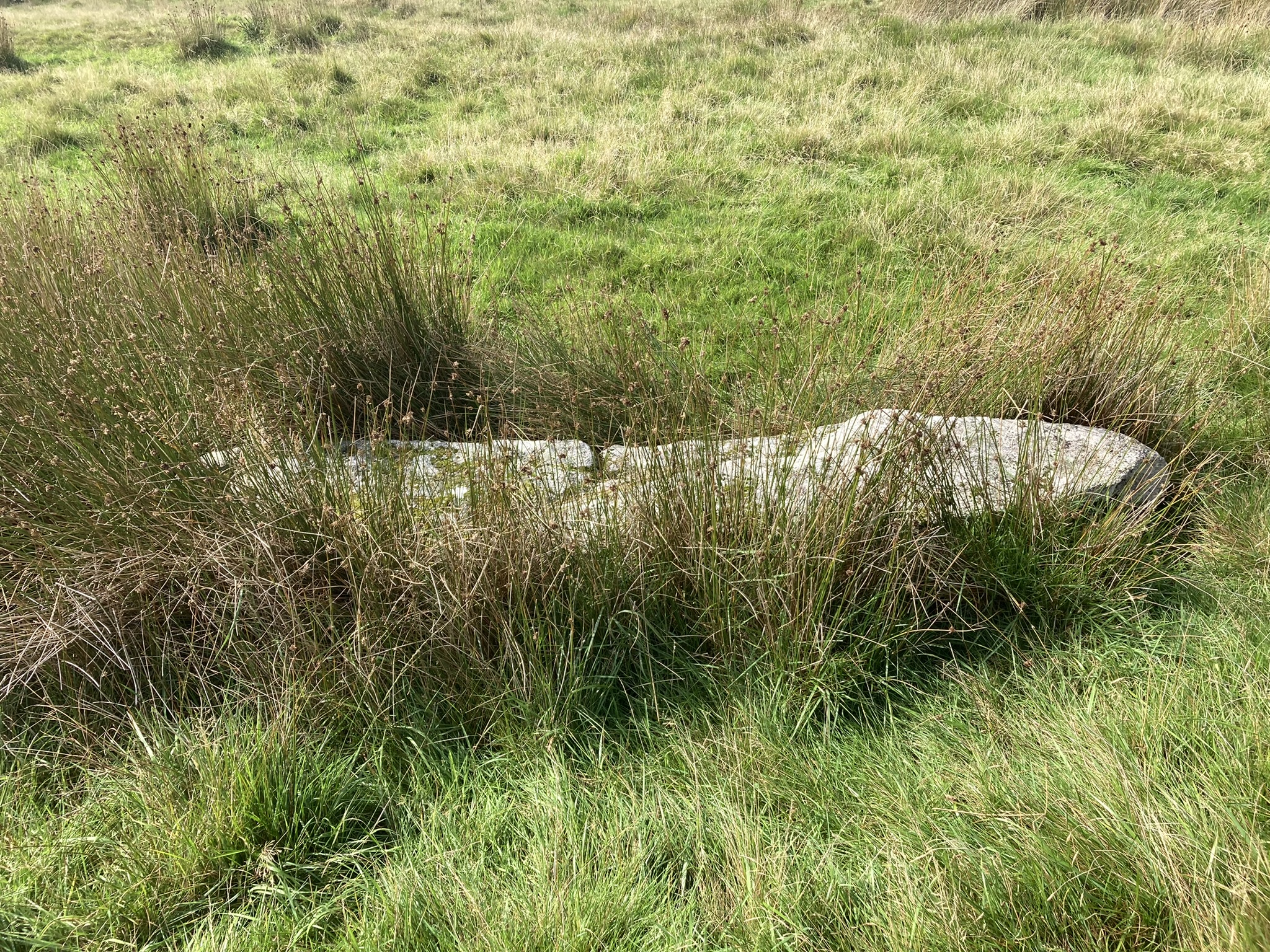
W Recumbent Stone (267°), c. 9.5 feet long in Stripple Stones.

Central Recumbent Stone I (338°), measuring 12 ft long by 33 inches wide in Stripple Stones.

Central Recumbent Stone II (338°), measuring 40 inches long by 12 inches wide in Stripple Stones.

NNW Standing Stone in Field Bank cutting across Sherberton Stone Circle. This stone is outside the perimeter of Sherberton Stone Circle and out of character with the stones in the circle.
Directions for Seven Lords’ Lands Cairn:
Take the Bovey Tracey / M’hampstead A382 turn off the A38. Turn left for Bovey Tracey. After c. 1.3 miles take the 2nd exit of the roundabout for Town Centre / Haytor. Take the 1st exit for Haytor / Widecombe B3387 at the next roundabout c. 0.8 miles later. After c. 0.4 miles on the B3387 bear left to stay on the B3387. Continue on the B3387 for c. 5 miles to reach Hemsworthy Gate Car Park (SX 74145 76095) at the B3387 / Ashburton Junction. Seven Lords’ Lands Cairn is located c. 140 yards N from here adjacent to a stone wall.
Seven Lords’ Lands on Google Maps
Seven Lords’ Lands Cairn on Historic England

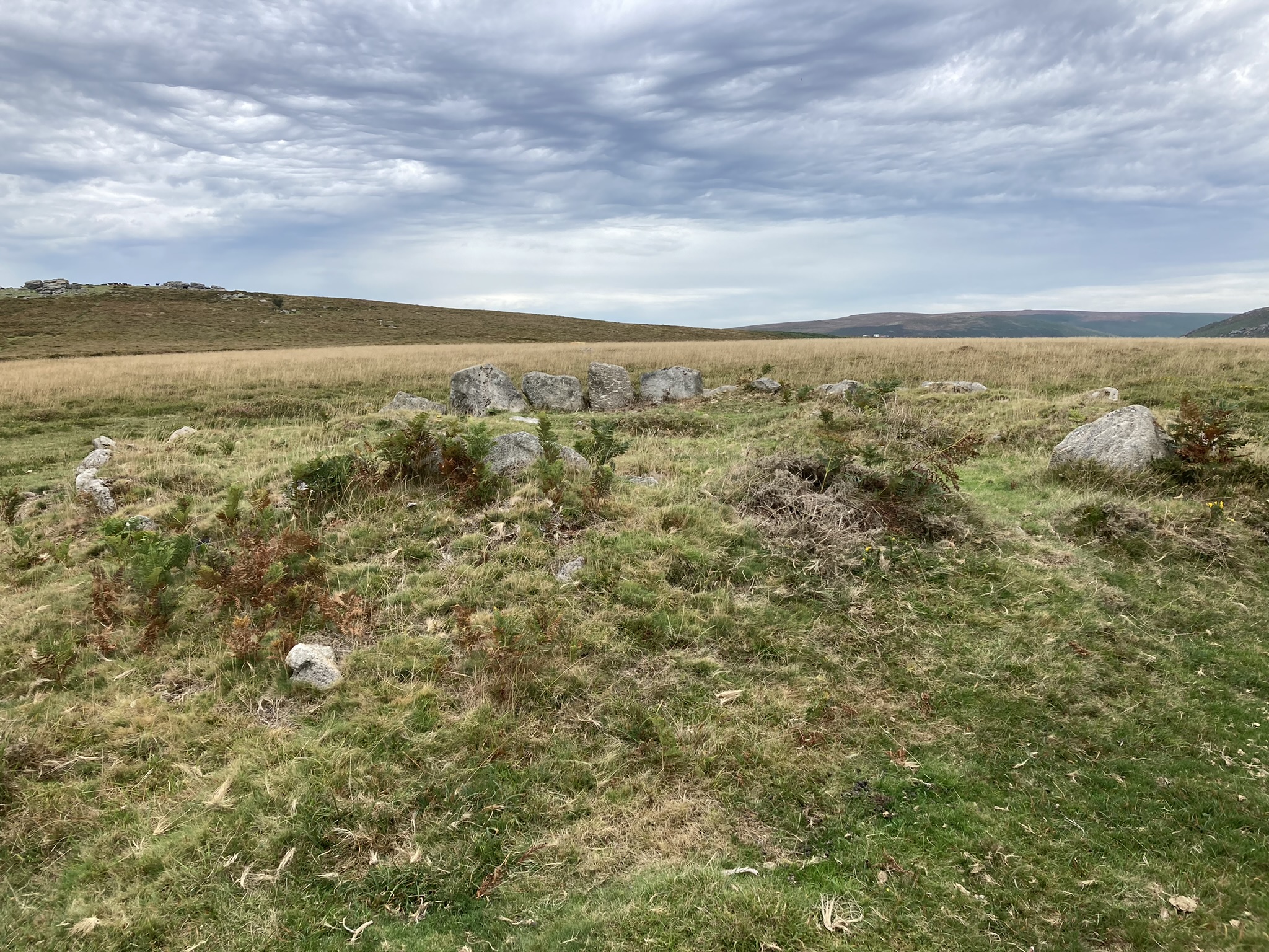


Gap in SW Kerb of Seven Lords’ Lands Cairn.

Hollow in W Half of Seven Lords’ Lands Cairn.
Visited 12.09.22
Seven Lords’ Lands Cairn was an unexpected bonus on a visit to Hound Tor Medieval Village in Dartmoor National Park. It is located c. 80 yards NE of the B3387, adjacent to a stone wall. This round cairn has a diameter of c. 12 yards and reaches up to 2 feet high. There is an intermittent kerb of upright stones measuring up to 2.5 feet in the W Arc. A gap in the SW Arc of the kerb provides an entrance into the interior of the cairn. The irregular grassy surface of the interior has been robbed of stones. There is an excavated hollow offset c. 5 feet W of the centre of the cairn. The grassy hollow is c. 2.5 feet across & 1 foot deep with a small embedded central stone.
Seven Lords’ Lands Cairn is listed on Historic England (go to Links).


Recumbent Outlier on N Arc of Manor Common N Cairn.

Centre of Manor Common N Cairn viewed from W.


Earthfast Recumbent Stone in NW Arc of Manor Common S Cairn.
Manor Common Barrows on Cornwall & Scilly HER
Visited 09.09.22
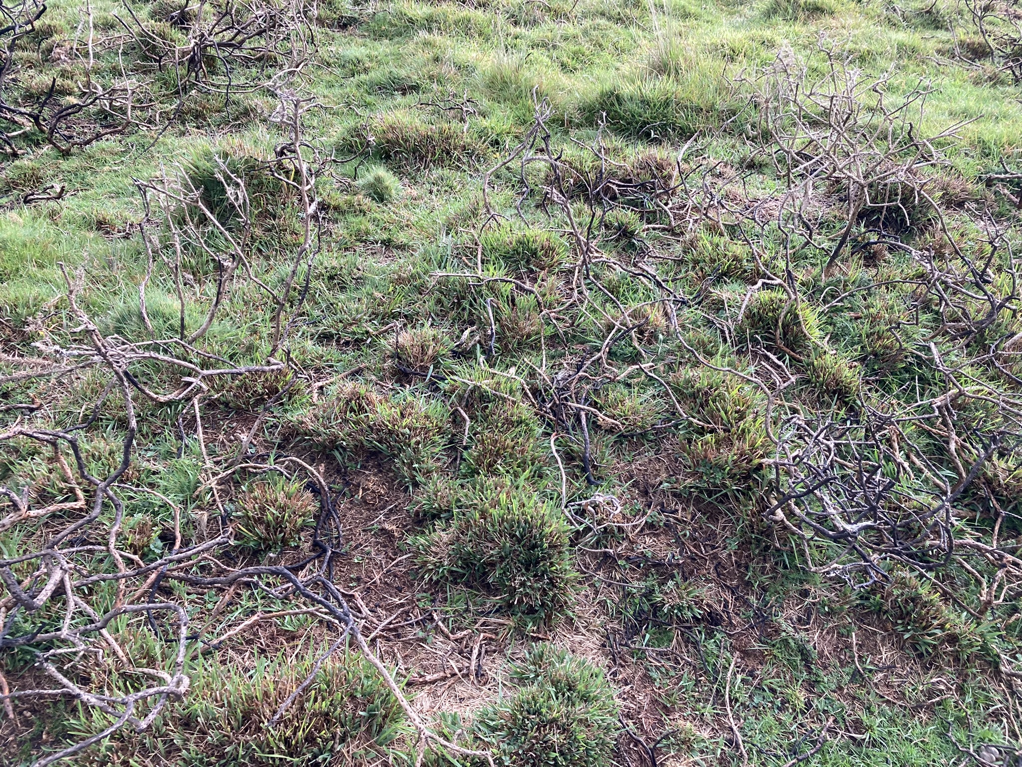
On the way to the Trippet stones I took the opportunity to revisit Manor Common Barrows. I had located the N Barrow but failed to find the S Barrow in 2019. This time, I revisited the N Barrow quite easily then used my GPS to home in on the location of the S Barrow. I saw a low tumulus c. 2 feet high covered in burnt gorse bushes. Maybe the cairn was hidden by gorse on my last visit. The cairn measured c. 12 yards E-W but the S Arc was obscured by gorse.
Manor Common Cairns are not listed on Historic England, but they are marked on OS Mapping. However, by using a new Search Engine, Heritage Gateway, I discovered a Bronze Age Barrow Cemetery listed on Cornwall & Scilly HER Number: 1642 (go to Links). There are three barrows in the listing. Manor Common N Cairn corresponds to Cornwall & Scilly HER Number: 1642.10. Manor Common S Cairn corresponds to Cornwall & Scilly HER Number: 1642.20. Cornwall & Scilly HER Number: 1642.30 refers to a putative small cairn located in between the N & S cairns. I didn’t search for it because I found this information subsequent to my visit.


Alex Tor Ring Cairn on Cornwall & Scilly HER.
Visited 25.08.22
For some perverse reason I felt compelled to revisit Long Tom (Cairnryan) Standing Stone. My original route from Cairnryan was blocked by a no unauthorised entry sign, presumably for a Wind Farm Construction Site. Back to the drawing board or in this case OS Maps. Glen App Wind Farm is now operational and accessible on foot (or bike). I plotted a route through the wind farm leading to Turbine B10. From there I could see a route to Long Tom (Cairnryan) via forest rides and firebreaks. The conditions underfoot were rough and boggy with care required on some sections to avoid sinking, however I persisted to reach my goal. A standing stone in perfect isolation! A just reward for a difficult expedition. All too soon I had to retrace my sodden footsteps to Turbine B10 and dry roads.
My route to Long Tom (Cairnryan) is viewable on the following link: explore.osmaps.com/route/13702299/long-tom-milldown?lat=55.018030&lon=-5.023700&zoom=12.6373&overlays=&style=Leisure&type=2d
Parking is available at NX 07423 74657, W of the A77 opposite Glenapp Church, just N of Glenapp Schoolhouse. Walk S along the A77 for c. 200 yards to reach the Glen App Track, the start of the route.

Long Tom (Cairnryan) is located in a forest clearing.