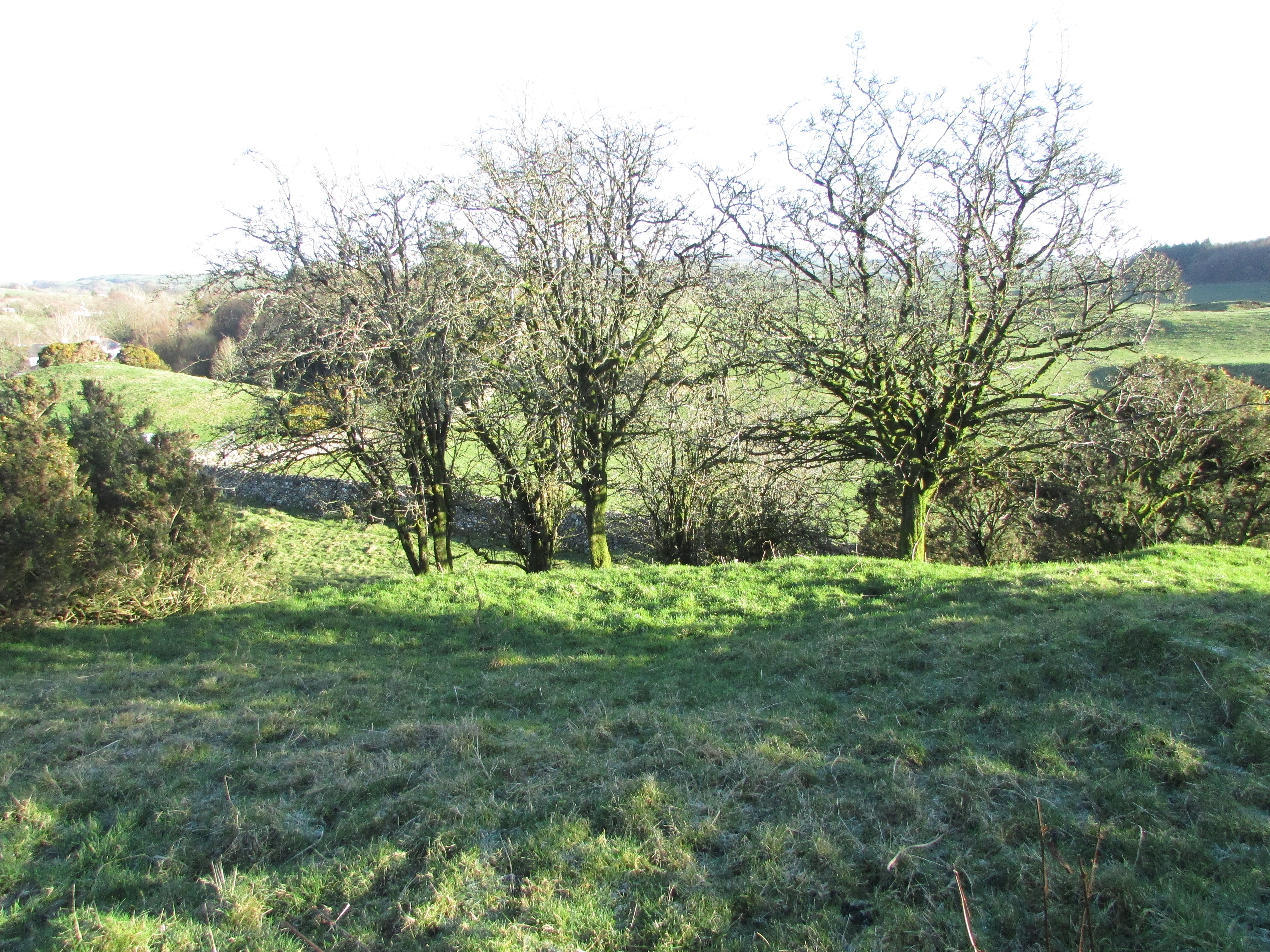
The flat irregular E face of Mid Float E Standing Stone.
Image credit: Mark Johnstone

The flat irregular E face of Mid Float E Standing Stone.

Merrivale Stone Circle with Merrivale Standing Stone 50 yards S. This well preserved stone circle has been neglected due to the presence of the nearby stone rows.

The foliage dominating Menevagar Longstone was somewhat reduced on my visit in 2017.

The flat N face of Mayon Standing Stone.
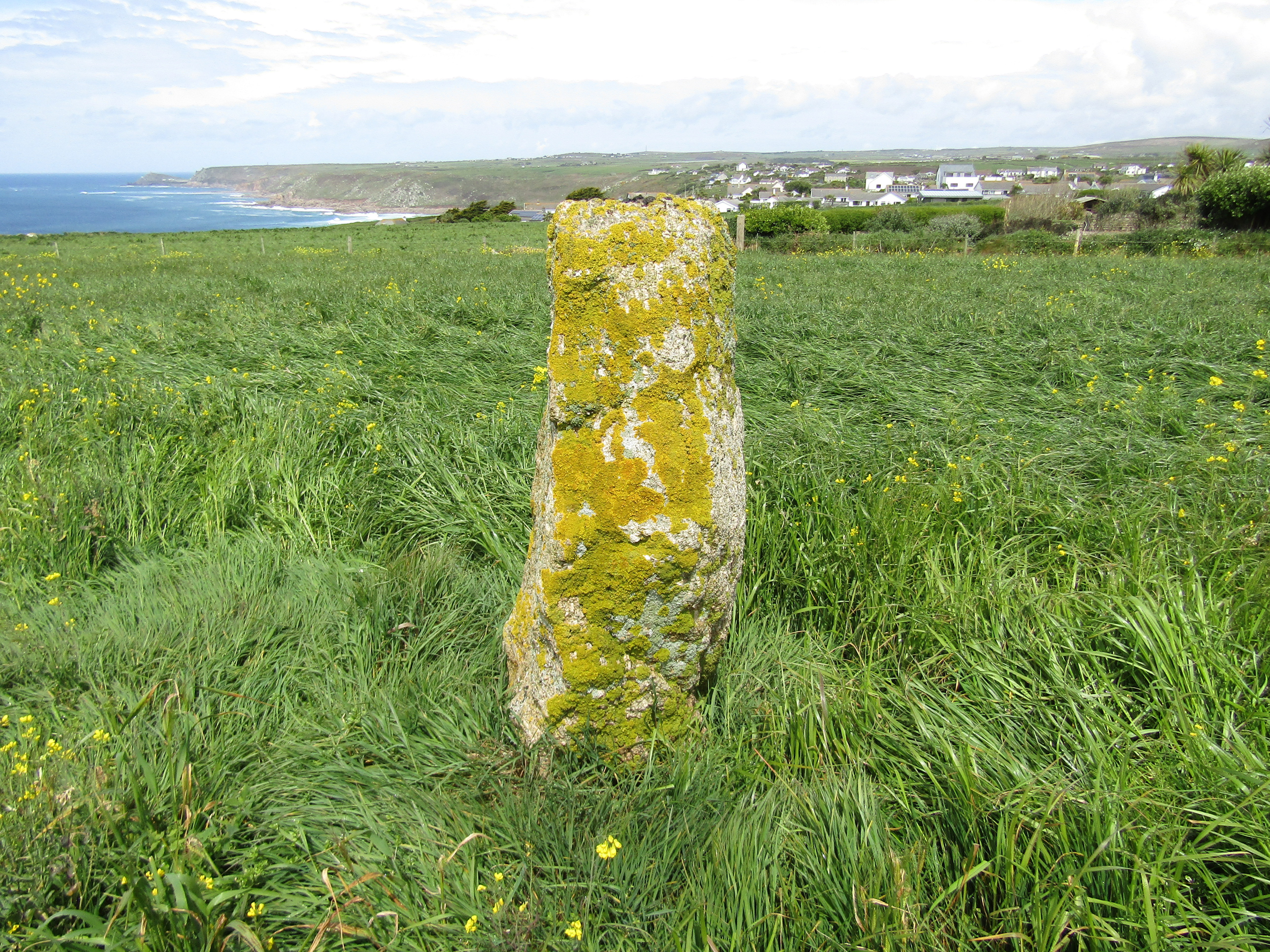
The S face of Mayon Standing Stone has a patina of yellow lichen and a rounded profile.

The E face of Mayon Standing Stone as seen from the path.


N kerb of Manor Common Barrow N with large earthfast stone.
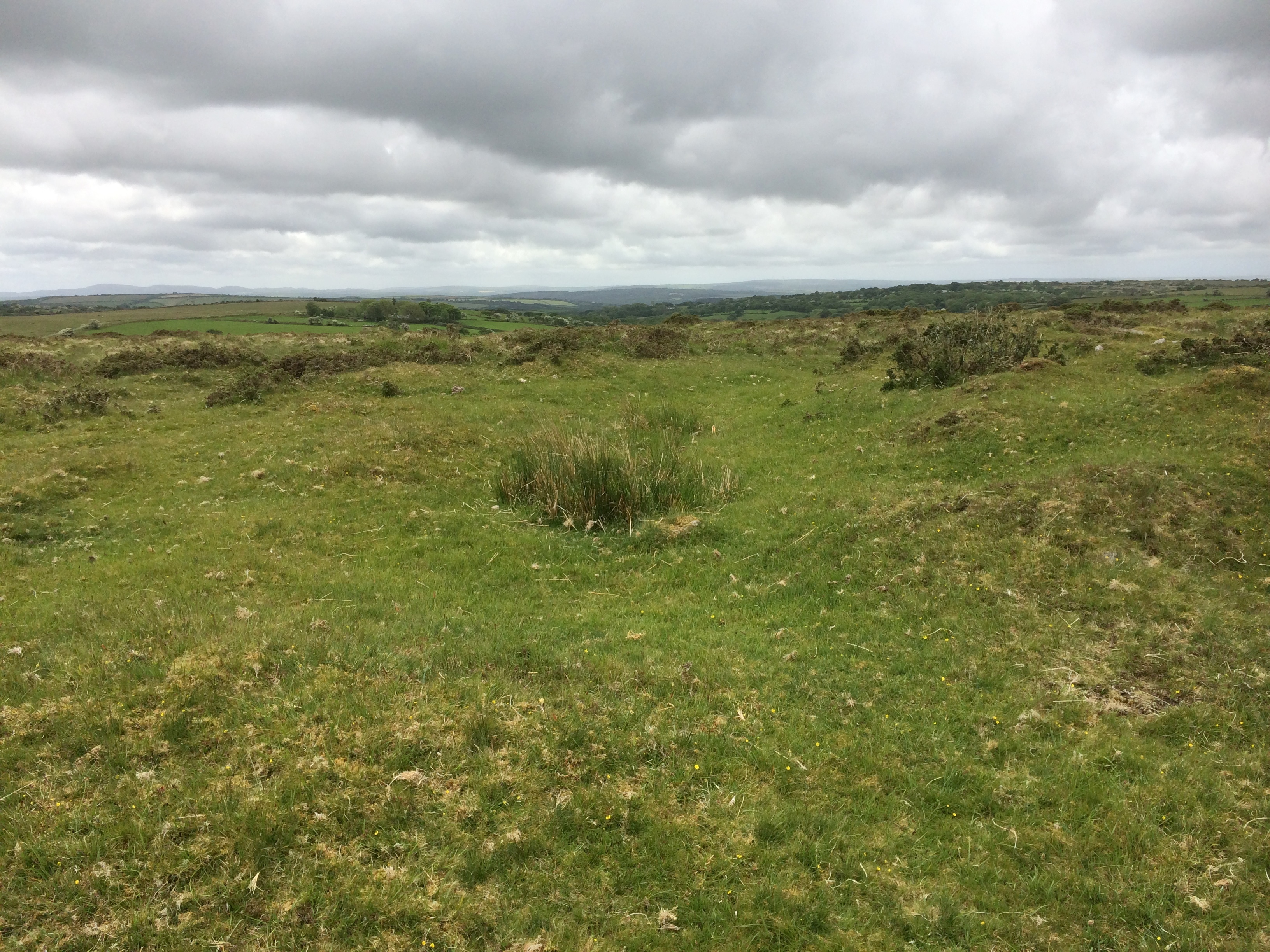

Mains of Kilcoy SE and Mains of Kilcoy NW in situ.

Mains of Kilcoy SE, a verdant island in a dark sea.

Mains of Kilcoy SE Cist, measuring c. 1m x 0.5m.

Mains of Kilcoy NW Excavation Trench left by A A Woodham in 1961. All remnants of a 8x2 feet cist are gone but the cairn has been scarred.

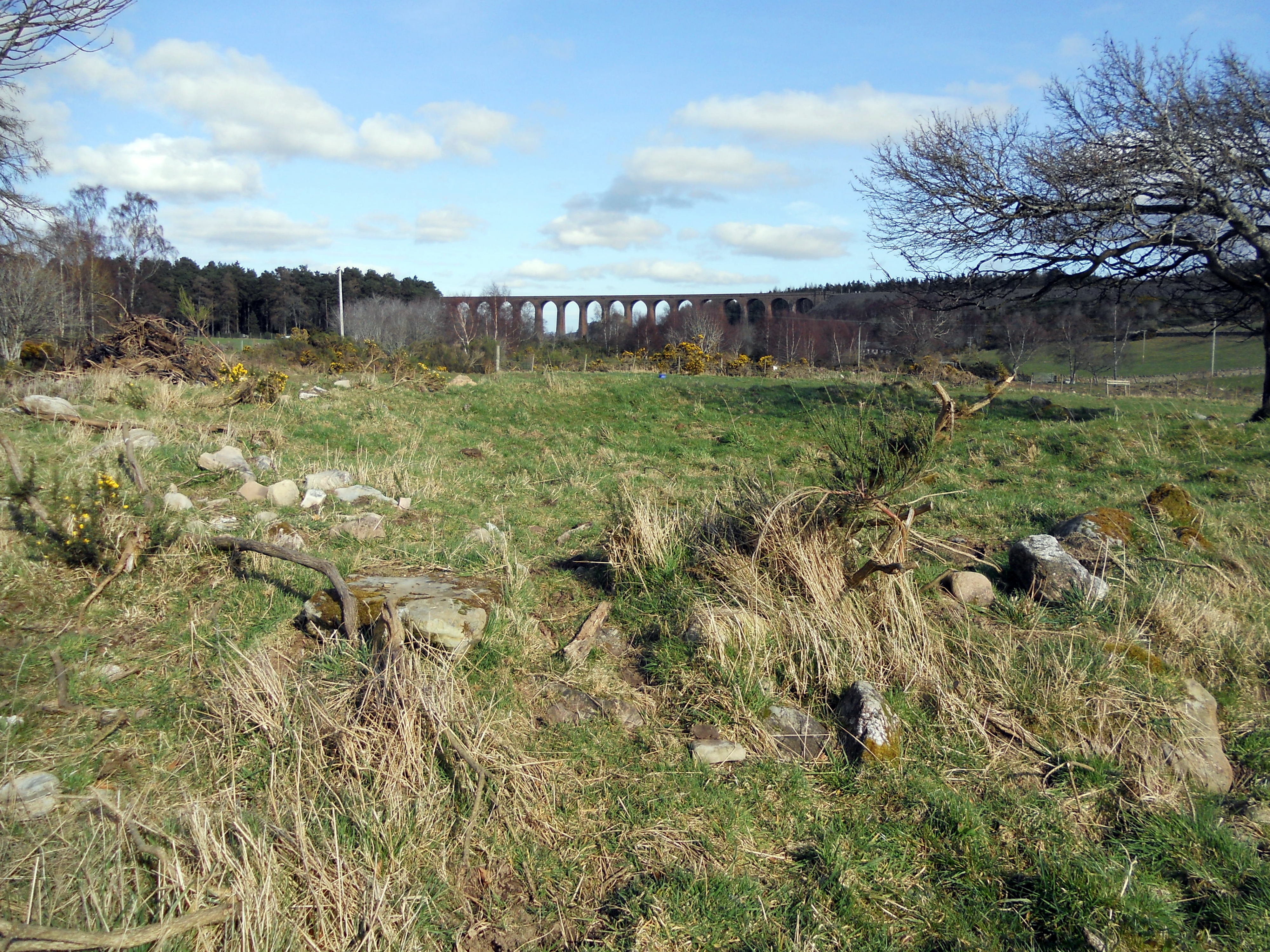
Mains of Clava SW viewed along SW-NE Axis towards the Culloden Viaduct.

A large stone, c. 4 feet x 3 feet, in the Interior of Mains of Clava SW.

Approaching Loch an Dun Fort the causeway is clearly visible above the water.

As CARL observed wellies are advantageous in crossing the ramshackle causeway to Loch an Dun Island.

Almost all traces of Loch an Dun fort have been obscured except for a course of stone on the right where the causeway meets the island.

A modern cairn has been constructed on Loch an Dun fort to complete its indignity.

Leskernick North Circle captured in 2014 with a large recumbent and two stones visible. An additional stone breaking the surface can be seen in the left foregound beside a small mound. According to Historic England turf was cleared round the stones in 2018 so the circle will perhaps look more complete now.

The recumbent stone, c. 4 metres long, lies inside the circle, N of the centre in Leskernick North Circle.

Dranigower Hut Circle W viewed from S. Note the proximity of beef cattle. They can be dangerous but on this occasion they ignored me.

W arc of Dranigower Hut Circle W.

E arc of Dranigower Hut Circle W.

S Entrance of Dranigower Hut Circle W.

SE Bank of Dranigower Hut Circle W.

Earthfast stone incorporated into SW Bank of Dranigower Hut Circle W.

Dranigower Hut Circle E viewed from S.

Interior of Dranigower Hut Circle E viewed from SE.

E arc of Dranigower Hut Circle E.

Scattered stones on E arc of Dranigower Hut Circle E.


Scattered stones on the S quadrant of Lamford Burn Cairn.

Lamford Burn Cairn looking W towards Loch Doon. It has been razed to ground level from an original height of 6 feet.

Lagganmullan 4 Panel with several Cup & Ring Markings and a small group of peck markings exposed.


S Chamber of King’s Cairn (Water of Deugh).

N Passage of King’s Cairn (Water of Deugh).

N Chamber of King’s Cairn (Water of Deugh).

Low Curghie Standing Stone (but not for long ...)

Low Curghie Standing Stone with a curious onlooker. (09.07.11)

Low Curghie Standing Stone guarded by stirks (09.07.11).

Glenesslin Schoolhouse Cairn viewed from the roadside.

Glenesslin Schoolhouse Cairn has two mature trees sprouting from its summit.