


Cairn built from scooping out pond or was the pond already there and of some significance?

Our first foray in to Welsh prehistory, photographically that is!

I wondered at the time if this was part of a stone avenue and checking on MAGIC that seems to be correct. It’s alongside the track heading East.

A bit like a lunar landing module nestling in it’s crater.


Posted for no other reason than it was a nice long walk with good weather. It’s all you need sometimes.


A very handsome barrow indeed. Castle Hill is behind to the left standing on a small ridge near Burley Street village.

You can just about make out the ditch surrounding it in this photo. Mrs Cane and Felix for scale.


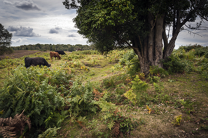
Awwww Ponies! The barrow’s just behind them on a tiny spur. Viewed from Vales Moor.

The hill fort viewed from Strodgemoor Bottom. Didn’t actually get into the fort’s interior as the light was fading too quickly. Next time.


The view from Vales Moor. Strodgemoor Bottom barrow is just visible on the far right.

View south from the isolated Mount Caburn to the South Downs ridge separated by the River Ouse and Glynde Reach. The dark line in the foreground is the very slight defensive bank of the hill fort’s south side, but at a height of around 150m is barely necessary.


This strange little earthwork is shown as a tumulus on the OS map sitting on the edge of the outer IA ramparts of The Caburn, but it bares little resemblance to any barrow I’ve ever come across.

The view from Caburn Bottom to The Bible Earthwork and field systems. Not sure if these are contemporary with the the surrounding sites or possibly medieval.

The view from the edge of the dreaded Lewes Golf course through Oxteddle and Caburn Bottoms to The Caburn and Ranscombe Camp.

The most northerly of many barrows scattered across Saxon Down. Just below and beyond the trees is Glyndebourne Opera House.


The more southerly of the adjacent barrows in the foreground with the other barrow just visible centre right.

The most easterly barrow and possibly the least interfered with.

The most northerly barrow glimpsed through the trees standing on the edge of the escarpment.


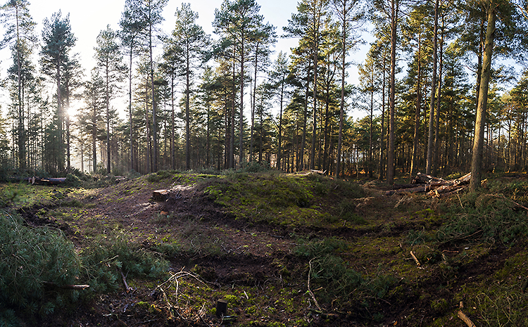
A bit like all those WW1 images we’re being bombarded with at the moment.
The most westerly barrow in its newly cleared space.


The robbed out depression of the most westerly barrow.

Looking south east from the road. This is either an enormous barrow standing some six metres high or a very tiny barrow on top of a small hill. Unfortunately it appears to be in someones private field so we’ll have to wait on that one.


The recently cleared largest barrow looking north east.

Stood on top of the largest barrow with the three other nearby barrows to the south west.

The largest barrow from the track beside it.

The three large sarsens near the Alfriston Clergy House.


Large stone next to the entrance of the Alfriston Clergy House on the Tye.

The only large stone I could find built into the retaining wall.

Close-up of the stone in the retaining wall. Looks more like sandstone than a sarsen.

The back of the church looking South West. Considering how high and close it is to the Cuckmere, was the mound once an island?

The church on its mound looking North East.

Entrance/exit on the western side. We soon realised we’d walked into a cow ambush.

Note ridges in central background. Not sure if these are part of a trackway or field system or how they relate to the enclosure.

