
This clump of trees covers the site where the barrow was.
Image credit: Mike Rowland 10/10/2007.

This clump of trees covers the site where the barrow was.

The circular flint wall which surrounds the site.

A curiously striated sarsen in the group.

This cluster of stones forms a circular feature in the centre of the barrow.

By far the largest of the sarsens at the north of the site by the entrance.
This group of barrows sit on top of a hill on heathland south west of the village of Bere Regis. From it can be seen the nearby hillfort of Woodbury Castle to the east. Magic show nine barows on this site, on this visit I could only see two. The more westerly of them was a low bowl covered in bracken.
The most curious was a low round shape with a large sarsen on top of it. I haven’t seen this listed anywhere else, this stone is not local, this is heathland with sand and gravel pits on it. Also it’s on top of a hill, so someone had to lug it up here. I’m really not sure if this is ancient or not, caution is needed and more information/research is necessary to find out if this stone is modern or a genuine megalith. I have seen this stone refered to as the “Devil’s stone” and it was reputed to have been 11 feet in height in the past.

The stone as it is seen from the footpath.

This sarsen is about 3 1/2 feet in height and sits on a small, low round barrow.


This is part of a series of ceramic tiles on the site of the old greyhound yard on which this shopping centre is built.

A frieze of tiles outside the Waitrose shop which overlays part of this massive henge.
Two bowl barrows to the north of the village of Worth Matravers. The more northerly of the two is a medium sized bowl shape in the middle of a field. It is in good condition and has a small wind bent blackthorn tree growing out of its north east side. The smaller of the two is to the south west and is low and does not appear to be in very good nick, possibly plough damage?
This pair of round barrows just south of a byway which runs along the ridge of a hill above Pallington heath. The western barrow has a large cleft in its top and the foot path runs over it. The smaller east barrow is low and at this time of the year covered in gorse and heather, making it hard to spot or photograph.
There are more barrows along this hill, the heavy foliage and many trees make them hard to spot, I will return in the winter for another look.

The foot path actually goes over the barrow at this point.

This view of the larger barrow shows the hill top location of the barrows.

The larger of two bowl barrows from the north.

The smaller barrow from the top of the larger one, not very easy to see at this time of the year.

A slightly better view of the east barrow.

A large bowl type barrow in good condition.

The bowl barrow from the east, the wind bent tree shows the exposed position.

A small round barrow to the south west of the main bowl barrow.

A large bell barrow, dwarfed by the very steep, large hill it sits on.

A scarred but rare example of a triple bowl barrow, north of the A35.
“These downes looke as if they were sowen with great Stones, very thick, and in a dusky evening they looke like a flock of Sheep: one might fancy it to have been the scene, where the giants fought with huge stones against the Gods. ” Twas here that our game began, and the chase led us through the village of Avbury....”
John Aubrey, c.1650.
This long barrow is now unique in Dorset as being the only long barrow not sited on the chalk downland. Another long barrow, now sadly destroyed, was in existence at Holdenhurst in Bournemouth. The destroyed barrow was excavated by Stuart Piggott in the thirties, this was the first time a mechanical digger is known to have been used in an archaeological dig.
Longbury has been excavated at least three times, in 1802 when skeletons were found, 1855 sherds of a “very rude vessel” and lastly in 1951 – 4 when a secondary burial and a crouched interment were discovered. The finds from this dig are on view in Gillingham museum.
This round barrow is on the Purbeck golf course (hole number 7) but is on a public bridleway which also leads to the Agglestone and the Puckstone. It is a medium sized bell type with a flat top in reasonable condition.


The south west face, which is now green with lichen.

The tip of the Agglestone from the east.
This is not a double bank as I put in my miscellaneous entry, but a large single rampart with a deep ditch on its east side. The rampart is about twenty feet in height and at its deepest the ditch is ten feet deep. It is about 250 yards long and is to the west of a complex of cross dykes and ancient sunken trackways. To the northeast Rawlesbury castle can be seen and views across the landscape must stretch to many tens of miles.
I wanted to visit the Dorsetshire gap which is just below to the east, but chickened out when I saw the field leading to it was full of young steers. This will have to wait for another day.


The north end of the rampart, it makes a slight turn to the west at this point.

The northern three quarters of the rampart.

The south end, possibly the entrance.
There is no sign of the cursus at this point, despite the markings on O.S. maps. I agree with treehouse that the long barrow here looks like one continuous barrow with a gap in it. It appears very much like Long Bredy bank barrow, the gap being at a similar place, i.e about a third of the length from the northern end, where the trees end.It cannot be much shorter in length. What the difference between a long barrow and a bank barrow I have yet to see satisfactorily explained.
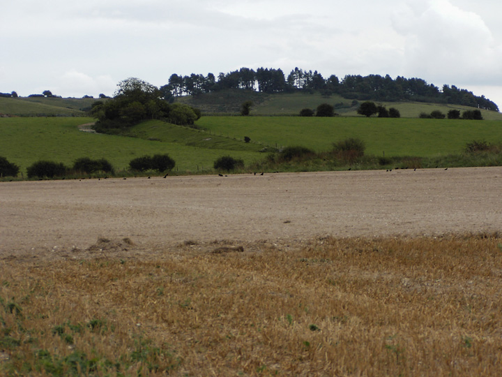
The barrow with Blagdon hill in the background.
Another visit to this varied site which is still the border between Hampshire and Dorset. This time I was interested in the southern end around Blagdon hill and the junction with Grim’s ditch. At this point there are two pairs of round barrows either side of the dyke.
It is here that Bokerley is at its most impressive, the bank and ditch are at their highest and deepest at this place. This would be a major civil engineering feat now and must have taken huge effort in pre-history. In length it is the equivalent of several large hillforts. It enabled the romanised tribe of Dorset to remain largely untouched by the post roman saxon invaders until about 700 c.e.


