Work has started to excavate three Bronze Age burial mounds on Golden Cap in Dorset.
The 4,000 year old mounds are at risk from coastal erosion...........
see more at -
Work has started to excavate three Bronze Age burial mounds on Golden Cap in Dorset.
The 4,000 year old mounds are at risk from coastal erosion...........
see more at -
Two bowl barrows in dense undergrowth on private land to north east of the village of Tolpuddle. They don’t appear on MAGIC and don’t appear to be scheduled, they are listed as monument no. 456168 on Pastscape and Grinsell visited them and listed them in Dorset Barrows.
I’ve not seen them as they aren’t visible from either the A35 or the lesser road that goes to the village. Grinsell had them as being 37 feet in diameter and 4 feet in height and 54 by 5 1/2 respectively. The smaller one has damage from a military slit slit trench, presumably 2nd WW as this is a very strategic position above what used to be a main road (now bypassed).
Very close to these barrows an Iron age and Romano-British settlement was excavated during the building of the Puddletown/Tolpuddle bypass.
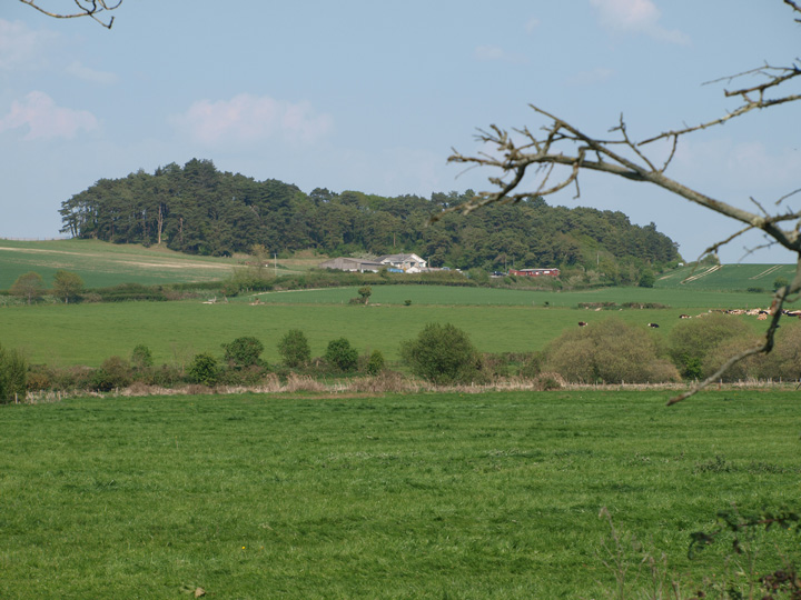
The barrows are hidden in the trees, the photo is taken from the south west.

The barrow from the top of one of the barrows at South Down.

The barrow from the road which runs past it to the north, it appears to be quite badly damaged, the track it seems used to go straight over it.

Two barrows (left of centre) at the northern, bottom half of the golf course

One of the western barrows from the now closed road which runs along the ridgeway.

Brownsea from the south, on the road to Studland, in the foreground is a bowl barrow on Godlingston heath.

I’m pretty sure this is Thorn Barrow, it’s in the right place according to OS and MAGIC.

Two low bowl barrows to the east of the bell barrows on the golf course on which is the Fishing Barrow.
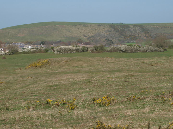
A small, low bowl barrow on Warren Heath, which is on the edge of the Higher Hyde nature reserve. Not the best photo but I had my brother with me and he wanted to see nature stuff – lizards and such so I didn’t get a chance to walk to it.

The barrows are in the centre of the photo from a viewpoint to the south – in the background is Green Island which is an iron age site.
The western most on the western half of the site.


This barrow is on the highest part of the hill at its southern edge, it is viewed here from the road below.

The western end of the site showing the banks and ditches.

The barrow from the south west valley road.

The eastern edge of the barrow from the south in Higher Hyde nature reserve.

Two of the barrows, looking north from Jordan Hill.

The barrow from the road to the north west.

The barrow cemetery from Ackling Dyke looking north.

The bank of the dyke from the main road from Dorchester to Weymouth, looking west.

One of the barrows from the east. From the top of this barrow can be seen the one north of Boswell’s Plantation.

The barrow is in the centre with a telegraph pole behind it.
This is a single round barrow south of the group in Puddletown Forest which in cludes the Rain barrows. It is situated on farmland, north of Boswell’s Plantation, just off the heathland which used to stretch all the way to the New Forest. Just off a farm track, it is on private land and can be seen from the road and from the large round barrow south of the Rainbarrows. It appears to be in fair condition and of medium size.
The hedgerow goes over the middle of the barrow.

A bowl barrow with a ditch.

One of the bowl arrows with Chalbury hillfort in the background.

A barrow in the middle of a wheat field.

This trree covered outlier is about 20 yards east of the main group.


Three of the barrows in the group.

The lowest and most northern barrow.

The middle of three barrows in a row.

A low barrow in the foreground, with a large northern barrow in the background.

One of the southern barrows, close to the wood.

The largest barrow on the site, the flat top shows signs of excavation, it is the southern of three.

The first of a group of three bowl barrows.


This barn is between the south east entrance and the west bank.


The brick arch inset into the west rampart.


