


The Mid Cheshire ridge as seen from Moel Arthur 25 miles away. Beeston on the left
I am a believer in Penbedw stone circle.
Whilst en route to another Clwydian hill fort I decided to take another look at this place, there is a lay-by on the road almost opposite the stones. Sciatic leg strangely not giving me any jip so I carefully leapt the fence and made my way over to perhaps the oddest of Clwyd’s ancient sites.
Coflein says it has five stones and eight trees, and isn’t mentioned before the 18th century. But today I could only see four stones and four trees and a stump, perhaps the other trees were carted off for road or wall building. The trees are big and old, one more so than the others, perhaps a botanist could estimate it’s age, which could give us a clue about the circle as the trees are supposed to occupy the place of missing stones.
Despite Coflein and Aubrey’s doubts, it felt real to me. The whole site is on a slightly raised platform, the bigger of the four stones looks like it was chosen for it’s odd shape, as so many circle builders did, there is an outlier about 250 meters west, in the next field is a kosher barrow, and an ancient track way runs by very closely, but where I do not know. All positive points in my opinion.
I leave the circle and creep over to the outlier, playing hide and seek with a tractor, keep a tree between you, handy things trees.
Burl is suspicious of this stone too, but if I were lord of the manor and asked for a standing stone, and got this, I’d want me money back, that’s a stone lump not standing stone., and I wouldn’t really want it right next to the track up to the big house where any unobservant toff could crash into it.
It is maybe five feet tall, grey, and made of a rocky substance. Most helpful i’m sure. The red leafed trees either side of the track are particularly fetching.
Now it’s time to go, but before I do I try to get a closer look at the barrow, but tractor man and some big brown cows dissuade me. Johnako presumes a brownish patch to be an old entrance or possibly the excavation scar from 1860, it is almost certainly neither, grass would have covered the scar by now, it’s been 150 years and grass grows well in Wales and barrows don’t have entrances. Most likely it is rabbits.
I wasnt sure about this site last time I came, but now i’m a little bit more sure , but still not certainly sure though.
For goodness sake get it dug.


A stone and tree circle, that’s a hybrid then is it.

Located in the field next door to the stone circle, I didn’t go in, there was big cows and a tractor going back and forth.

I thought at first there were two barrows, but coflein says only one, it’s the far one.

Penbedw hall barrow, contributor Johnako thought there was an excavation scar or maybe an entrance, but it’s much more likely to be rabbit doings.


Looking west.
This is the loaf shaped outlying menhir mentioned by Burl in his essential guide to the stone circles of Great Britain Ireland and Brittany.

A usually impossible view due to Rhododendrons, but some one has been hacking.

Graffiti ive not seen before due to the overhanging Rhododendrons.

Someone has hacked back the Rhododendrons, opening up the north side of the chamber, ive never seen the place so accessible. But they had made a right mess, so I tidied up as best I could.

I really should come more often, so I will.

Last time I came past here I noted a new housing project getting underway, so I decided to take a closer look next time I was passing. The long barrow was on the edge of town in what was the countryside. Not anymore.

As seen driving past. The long barrow is under the trees in the middle, the new housing will go very very close to this rare and wonderful oddity.
I parked the car to the north of the fort, right next to a footpath that seemed to go in the right direction, I could see the hill with the fort on top from the car so off I went.
I’ve got to say this end of the footpath was just about the weirdest ive ever been on. It weaved between two houses, fences either side of me, the path was maybe two feet wide, I had to duck under a leaning fence. Then a river blocked the way, the path along its side was less than two feet wide. But now i’m on a track that goes up the side of the hill. Up I go.
Past a house or two, the track is now a muddy footpath and forks in two, the fort is up the left path, so of course I go up the right hand one. It took me up to the Eyarth rocks nature preserve, a very nice place with wondrous views east to the Clwydian range of hills, brimming with iron age forts. Also, limestone paving can be found here, rare for this part of Britain, but no hill fort, I’ve convinced myself that some vague linear bumps are all that’s left of this fort. So I photograph them, without enthusiasm, and start the walk back. As im passing under the cliffs to my right, I realise my blunder, and decide to take the other left hand fork to see if it’s up there.
It was only a short walk from the path forking before I found the first sign of any earthworks.
The disappointment I felt at Pen y Gaer now swung proportionally in the other direction, these were large earthworks.
I scrambled up the bank and found it to be at least eight feet tall, and found myself near the northern terminus of the high bank. Right at the end of the bank it falls dramatically away over some cliffs. Cliffs play a large part of this fort, the western end of the fort has no defences, just vertical cliffs. The interior of the fort is split in two, by cliffs, a higher and lower fort, Brucie would love it here.
So I head east on the high and wide northern bank, interesting features abound here, two entrances, one large the other much smaller. The bank is so wide that structures have been made in them , whether they are original I much doubt.
There is no ditch, or if there was it is now all filled in. So I keep walking.
The vegetation is thick in places and I have to fight through brush to follow the high bank, now in placers it must be ten feet high. Views now and again open out, I can see my car down on the road, Pen y Gaer looking useless and unloved up on its windy hilltop, and out east to the hills and forts, and right below me limestone paving, just like in Yorkshire, but not as extensive. I note that the high bank i’m traversing, sometimes being more like a high mountain ridge, is made up of smashed limestone blocks, wonder where that came from.
By now i’m at the southern end of the fort, here it takes on a more usual form, there’s three banks here, the high one and two lower banks. Moving on, I come to the northern terminus of the bank, again, here it goes right up to the edge of the cliffs. But right at the end the bank separates from the whole, and finshes off with a cairn like structure, it even has a small capstone in it. But it is surely just the end of the defensive bank.
Walking back, I’m now in the fort with the bare rocky cliffs to my left and more cliffs to my right, that seperate the higher and lower part of the fort. This has been a really good one, sure in places the undergrowth obscures what were here to see, but, what is left is a minor wonder to behold, I circuited the whole fort with hushed tones and held breath. Smashing place.
Unfortunately the whole day was marred horribly by my sciatic leg, now so bad that an MRI scan has prompted a trip to see a neurosurgeon next week. Aaaargh! when driving.
There are many hill forts in North Wales, they can be broken down into three types, there are those that i’ve been to, and those that I’ve not , and there are those that I don’t yet know about. This Pen Y Gaer and it’s near neighbour Craig Adwy Wynt fall into the latter category. It’s always nice to make new friends.
It’s barely a ten minute drive south from the nearby town of Ruthin, take second right in Pwll-glas, then left again and the fort, such as is left of it, is above you and to the right. Park in the wide entrance to the farm, you wont be long, i’m sure.
Walk past the farm, the fort is now directly above and to the right, when the track turns 90 degrees left, it’s time for a light trespass. Pass like a ghost over the fence and into the field, I had to do this as a herd of cowlets was guarding what looked like the easiest way in. It is here that the
“presently fossilised in field boundaries” comes into play, the field i’m in is six feet or so lower than the field next to it, any defenses the fort had are kinda gone, leaving only an oval high ground. At a place out of sight of the cowlets and ease of egress I crossed over the fence and into the fort. There really isn’t much left at all, I followed the high/low ground to a gap in the oval, it’s presently used by the farmer, but this is in all probability whats left of the entrance, it is found at the south east corner of the fort and seeing as it faces, more or less, the other fort across the slight valley the probabilities are reasonably high.
From the south east entrance I walk along the south wall, it is all gone, there is nothing at all to give away the forts location, nothing fossilised in field boundaries, nothing, at the bottom of the hill is a pond, a small one, with several large boulders. There is another big stone at the south west corner, it is here that it begins to look like a fort. There is a noticeable bank running from the south west corner, ovals don’t have corners I know, but lets go with it, running up the west side of the fort, for about a hundred yards, maybe, I couldn’t get any closer because of the veal, they just had to congregate around the only part of the fort that survives, and as soon as they saw me appearing through the bushes they ran over and greeted me in the time honoured way, snorts, sniffs, shy glances and loosened bowels. Endearing.
I hobbled down the hill to the pool and examined the boulders mentioned earlier, they were definitely made of some kind of stone. I hopped over the fence and and walked back to the car.
I hoped the other fort on my itinerary would be more engaging, less cowy, but more engaging.

From Bawd level.
I wonder why it is so called, is there a link with the Bowder stone, is it a big leap from Bawd to Boulder, is a Bawd and a Bowder just a boulder.
Bowled over am I.

Ascending the Roaches, the Bawd stone can be clearly seen on the edge of it’s mound. With Hen Cloud rising above it all.


A distant Ramshaw rocks begs the walker to see it all.

The Roaches perform the function of backdrop here more than adequately.

The pair of cupmarks ? are lower right.


Under the Bawd stone, it was a bit windy.

The northern terminus of the bank, it goes right over the edge.

Must be eight feet tall, a hidden gem this one.


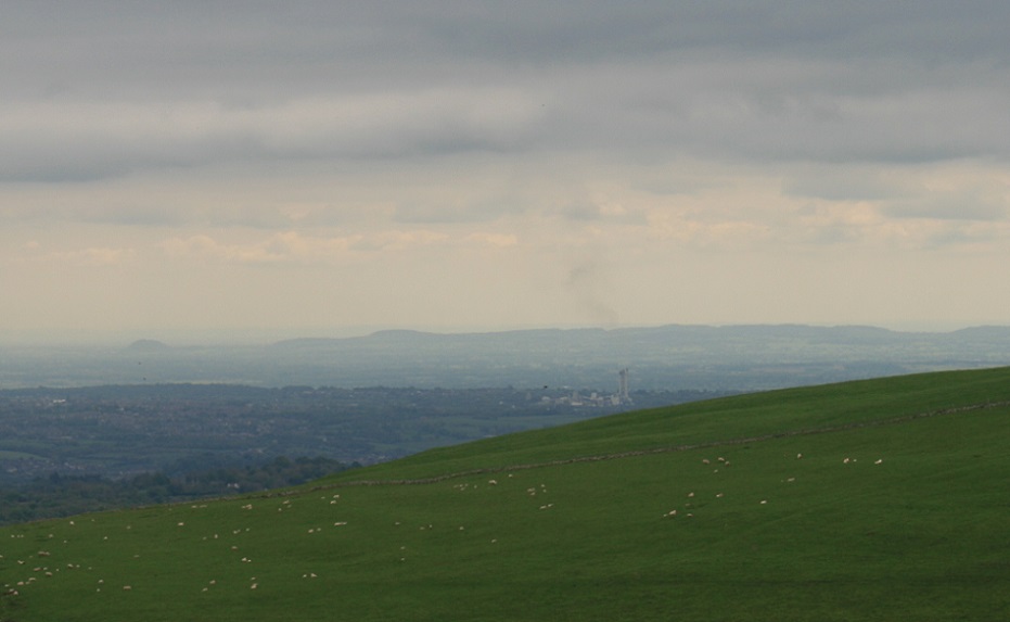
Looking north east along the high bank towards the many forted hills of the Clwydian range.

A bit sad to think they tore up a very rare (rare for north wales) limestone paving for the bank.

Approaching the terminus at the south end of the high bank.

The southern terminus of the high bank, has what looks like a, well, what do you think it looks like ?