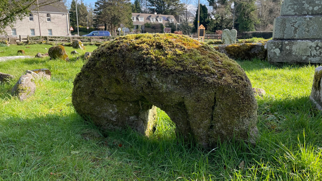


Archaeologists excavating the windswept Ness of Brodgar are unearthing a treasure trove of neolithic villages, tombs, weapons and mysterious religious artefacts, some to be displayed in a blockbuster exhibition
If you happen to imagine that there’s not much left to discover of Britain’s stone age, or that its relics consist of hard-to-love postholes and scraps of bones, then you need to find your way to Orkney, that scatter of islands off Scotland’s north-east coast. On the archipelago’s Mainland, out towards the windswept west coast with its wave-battered cliffs, you will come to the Ness of Brodgar, an isthmus separating a pair of sparkling lochs, one of saltwater and one of freshwater. Just before the way narrows you’ll see the Stones of Stenness rising up before you. This ancient stone circle’s monoliths were once more numerous, but they remain elegant and imposing. Like a gateway into a liminal world of theatricality and magic, they lead the eye to another, even larger neolithic monument beyond the isthmus, elevated in the landscape as if on a stage. This is the Ring of Brodgar, its sharply individuated stones like giant dancers arrested mid-step – as local legend, indeed, has it.
Stone artefacts and tooth pre-date the earliest known evidence of the species in Europe by more than 10,000 years.
Archaeologists have found evidence that Europe’s first Homo sapiens lived briefly in a rock shelter in southern France — before mysteriously vanishing.
A study published on 9 February in Science Advances1 argues that distinctive stone tools and a lone child’s tooth were left by Homo sapiens during a short stay, some 54,000 years ago — and not by Neanderthals, who lived in the rock shelter for thousands of years before and after that time.
The Homo sapiens occupation, which researchers estimate lasted for just a few decades, pre-dates the previous earliest known evidence of the species in Europe by around 10,000 years.
But some researchers are not so sure that the stone tools or tooth were left by Homo sapiens. “I find the evidence less than convincing,” says William Banks, a palaeolithic archaeologist at the French national research agency CNRS and the University of Bordeaux.
Another Patrick (Patrician) site and another long cairn, scooped out on its longer axis like at the cairn of the cats 2 kilometres to the south-east, only this time a portal tomb, with the main chamber at the east and then two subsidiary, cist-like chambers at the west.
Nestled in a clearing of a pine forest, a monument in state care with a small car park to its south, you get the sense that it’s never going to be high on most peoples’ itineraries, a lonely haven of quiet escape. The northbound track up through the forest is waterlogged and there is a small, forded stream to traverse before the tomb is revealed through the trees.
The cairn heads away eastwards up a slight incline, the two subsidiary chambers at its rear, western end prominent with huge blocky stones. They are both very box-like with no discernible entrance so maybe two cists inserted into the cairn at a later date than the initial construction. It was excavated in 1899 but I’m not sure if the finds were ever carbon-dated in more modern times. Strikingly, the cored remains of the cairn mirror the remains down the road at Carnagat.
25 metres up along the gash in the cairn is a small portal dolmen/chamber. Both portals remain, recessed by about 2 metres from the front facade of the cairn in court tomb fashion. They’re not the most robust portals I’ve ever seen. The northern stone has fallen southwards and rests on the southern stone. Behind them is a large box-like chamber. Presumably there was a capstone over the portals once upon a time, balanced on the sidestones of the very cist-like chamber.
One that got away the last time we were here, back in July last year. We’d managed to get to Glengesh portal tomb about 800 metres ENE. It’s all rolling reclaimed pasture and fairly marginal land hereabouts, with maybe some tillage. 1.2 kilometres west of here at Kilknock is a small hill with a small cairn, said now to be a wedge tomb, which we’ll have to come back to – our attempts today were blocked by some pretty steep and, in places, marshy ground.
Knockennis court tomb is ruined. It’s 4 fields in from the road, along a farm track with two gates. I guess I was expecting something better, an idea planted erroneously a while back. Anyhow, I’m glad I came, the remains still recognisable as the chamber/s of a megalithic tomb aligned classically north-east/south-west with the possible remains of a court at the north-east end. The drystone field boundary wall that passes through it north to south is unhelpful, but does add a certain ambience. Maybe one for the completists only.
There are some places that are just humbling, that evaporate the musty, strangling cobwebs of cynicism and arrogance in a barely noticeable instant, unregistered until you’re back home and reflective, all the while they’re working their silent magic, lending you something you only barely realise you needed. This is one of those places.
It seems that the accepted, received wisdom is that this place was once a ‘temple of the druids’ (whatever that means), visited by that most famous Welshman on his full-on conversion therapy trip/tour of our small island, powering through a major enough set for the local denizens to be convinced to re-name the place in his honour.
Nobody ever completely bought it though, temporary temporality so to speak – but that’s to say that those who came before the saint might have known more, or different, which I don’t believe they did. And not because I feel the need to justify the site or not – no, the place is the place before I say anything about it, fine with or without me and my beliefs, or anyone else’s for that matter.
There’s a car-park east of the site at Altdaven Road with a couple of ‘explanatory’ boards. The map is crude but handy. You descend into Altdaven Woods to the west and then down deeper to the north. There’s no rush but anticipation quickens the step. Straight ahead at the bottom and up along the stairs and path through the trees and along the thin south/north ridge. Good fortune had it that the sun was out, penetrating the tree cover in places, the dappled light adding to the sense of mystery. It’s always a bonus when you have a place to yourself, imagination unleashed.
Not quite at the summit is the chair, it’s back to you behind a pair of trees, standing proud and tall and spooky amongst many other outcrops and boulders. It’s not very deep into the woods and the road is visible from the perch, but we could have been on another planet as far as we noticed. Swiftly we were lost in the wonder of the place, clambering here and there and down to the well. It’s quite steep and vertiginous but no matter, the rag tree adds to the magic.
The flat stone of the ‘well’ has more than just the bullaun in its south-west corner – there’s another large cup-mark towards its centre. There are offerings everywhere – little fern covered niches in the side of the ridge with photos of loved ones and mass cards, the rag tree (ignore the covid face-coverings), coins beside the bullaun and the ubiquitous tea-lights. But none of it matters – the place is a delight, an almost semi-tropical, dripping green wonderland. Spellbound we marvelled, for a while anyway before we let ‘reality’ intrude. We could have stayed all day and not met anybody, but we decided not to.
There’s a couple of plans of this site on the NISMR and combined with the note there, I was expecting something of substance. Alas, what does remain now is almost totally overgrown, even now in January, and impossible to interpret, except for the most southerly stone, said to be a flanker of the south-facing court. Despite that, it was worth coming here, it being one of those barren, wrecked sites that tugs at the heartstrings that you come across regularly and are glad to bear witness to, in the midst of seemingly wilful neglect and ignorance.
Northbound on the R186 in Monaghan turns into Tyrone and the B83 at Tanderagee and the Fury river and you’d barely notice, only you do. The man with the commercial vehicle sales and service business bang on the border must be jurisdictionally flexible, elastic even. From here, as the crow flies a kilometre west, is the cat’s cairn, Carn na gCat. In rough terrain, horse shit in evidence, but no horses, precious little could have been produced since the bog grew.
But the ancestors were here. And they left us Carn na gCat, an almost symmetrical dual court tomb, embedded in a long cairn much of which remains, two metres tall in places. Partially excavated in 1899, it’s a monument in state care now, care which it seems is not easy to give lately by the looks of the growth – fortunately we’re here in winter, and we have our wellies. The fenced in track down to the site is waterlogged, the courts and chambers still not visible.
Rapidly the fences end and you’re in the court of the cats, the almost perfect north-eastern semi-circle entrance welcoming you in. The two Clontygora-esque shouldered stones flanking the jambs are striking – asymmetrical, but sure why not? But that’s where the asymmetry ends – everything after that seems planned, geometric, mirrored, until you emerge at the south-west end and its less spectacular court. Between the two courts are four chambers each roughly 2.5 metres long, two galleries separated by a gap of about a metre between the two backstones.
The four gaps between the entrance and segmenting jambstones are about the same width and each of the four chambers have four sidestones, two on each side, all pretty symmetrical, but no less satisfying for that. It’s in amazingly good condition, only now a tad overgrown, holly colonising the northern side and I’d say the whole thing might get inundated in summer. Some of the roofstones are laying about on the south-eastern flank of the tomb and there’s no sign of any corbelling – which begs the question: if the distance from the floor to the top of the chamber sidestones is never much over 1.5 metres, were the tombs built by small people, or very large cats?
We mucked about here for quite a while in the watery winter sunshine, our first stop on a quick gallop around South Tyrone and we were enchanted, glad to be back out exploring, discovering, snooping and wondering. It was a great place to start at and is definitely worth a visit, only let’s hope that now things are recovering that the DOE tend to the plants that are in danger of taking over the place.

I had thought there was more here, but I still enjoyed what remains.

The eastern side – the stones to the right might be the remnants of a court.


The dolmen, located in Shankill, appears to have collapsed in late 2021.
A WEDGE TOMB located in Shankill, Co Dublin that is over 4,500 years old has collapsed.
The tomb, which dates back to the Neolithic period before the start of the Bronze Age, appears to have collapsed in late 2021, with photos showing the capstone having fallen in.
The tomb itself is located on farmland in Shankill, and is known as the Carrickgollogan wedge tomb.
Andrew Bambrick, who runs a heritage conservation community, says that the capstone appears had fallen in between the two supporting stones, and that it was sad to see it like this.
“It’s sad, it’s been in the country for over 4,500 years and it’s collapsed,” said Bambrick.
Photos taken of the monument in early 2021 show it surrounded by fencing and overgrown with brambles.
In more recent photos, there are fewer brambles surrounding the tomb, but the capstone has collapsed inwards.
Bambrick says that while wedge tombs have collapsed in the past, it is usually due to factors like tree roots displacing the tomb and over long periods of time, erosion.
Bambrick says that he has reported the collapse to the National Monument Service, but had yet to receive a response.
More: thejournal.ie/neolithic-tomb-collapse-5657763-Jan2022/

One last look south over the rear subsidiary chambers dappled with sunlight.


Like at the Carnagat down the road, the centre of the cairn has been stripped away, leaving two large banks on either side of the chambers.


At the back of the main chamber of this portal tomb. The northern portal has collapsed onto its southern partner.

The massive chamber stone at the back of the tomb is impressive.


Blocky stones of the two subsidiary chambers at the back of the tomb.

The long cairn is aligned east-west. This is the western, back end of the monument.

Winter sunshine at the well and rag tree.


Quite a magical setting, the chair is up the stairs to the top right.


Offerings at the ‘well’, cupmark to the right.


The approach to the peculiar stone setting.


Large chamber stone at this massively overgrown and neglected site.
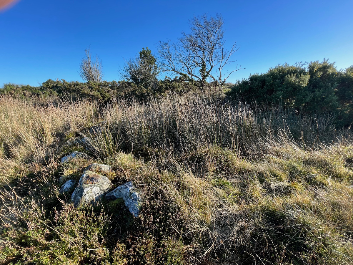

Looking east towards Culla More where there’s another court tomb. It’s hard to make anything out here.

What’s described as a flanker of the court at bottom right. An entrance jamb maybe?

The name “Carnagat” (Carn na gcat? Cathair na gcat?) according to local tradition arose from the fact that the cairn was the haunt of wild cats. I have once heard it called “Carraig na gcat” by an old country woman, who corrected my referring to it as “Carnagat,” but the latter is the usual name. Local folklore has it that these fairy cats were wont to steal the corn from the harvesters and convey it hither to their stronghold – the chief trysting place of all the fairy bands of the country round!
From Royal Society of Antiquaries of Ireland JRSAI 52 (1922), Carnagat, by Winifred Wulff, member (read 5 July, 1921)

Looking out from the second chamber of the south-western tomb.

The cat’s cairn is an impressive and well-preserved monument, if a tad overgrown in places.

Further back from the previous shot with the gabled backstone in the foreground.


Looking out from the second chamber of the north-eastern tomb.

Looking north-east along the length of the two tombs – quite a bit of the covering long cairn remains.

Box-like, even cist-like, first chamber of the south-western tomb.

South-western court looking south-west with the first chamber of the south-western gallery to the right.

Two backstones, nearer one of the north-eastern tomb is gabled.