23/8/10
Along the main gallery with the Sheeffry Hills in the distance
Image credit: ryaner
23/8/10
Along the main gallery with the Sheeffry Hills in the distance

23/8/10
South-east over the rear of the monument with the Mweel Rea Mountains in the distance


In a corner of the library in Graig, under some chairs, is this rock, with carvings that were chiselled about 5000 years ago, probably. I explained this to the librarian, who seemed completely underwhelmed, a reaction I experience on a regular basis when propounding on the neolithic.
I think this is actually this : themodernantiquarian.com/site/1207/ballinvarry_irish.html

The ‘copy’ in the recently refurbished heritage centre. (See posted link and CianMcLiam’s fieldnotes).
A digital photo of a printed photo of the original stone.


This mini-Beaghmore is simply marked as stone circles on the OS map. Burl says that there are 5 circles here in all (wish I had read the book before I set out), 2 of which are immediately apparent 100 metres over the gate and into the field. These are the only 2 that I saw today, not knowing that there were 3 more in the vicinity.
Like at Beaghmore, all the stones of the circles are low, none over half a metre tall. Burl says the northern has 10 stones and the southern 14. The metre and a half tall standing stone is offset to the east.


Like at Beaghmore, two small, but ruined, stone circles abut each other, watched over by a single standing stone.


Local people are often concerned about the implications of their actions in relation to historic monuments and archaeological features in general. Many will not touch such features on their land in fear of some repercussions by the fairies. A former landowner of the ogham stone, who lived in the now ruined cottage close by, decided he wanted to remove the stone and began to dig around it. However, bad fortune was to follow, for no sooner had he started work than water began to rise in the byre bringing havoc to his buildings and his animals. When the farmer decided to stop the digging work normality returned to his farm holdings.
Local tales passed down from generation to generation also tell of one landowner, a giant of a man, who was tied to the nearby standing stone for some misdemeanor and guarded there by twelve strong men. However the landowner broke away from the stone and killed all the guards who traditions says were buried in the graveyard across the road. The story goes on to say that the landowner himself is buried under the ogham stone.
Taken from the info. board, erected by the Environment & Heritage Service and Omagh District Council

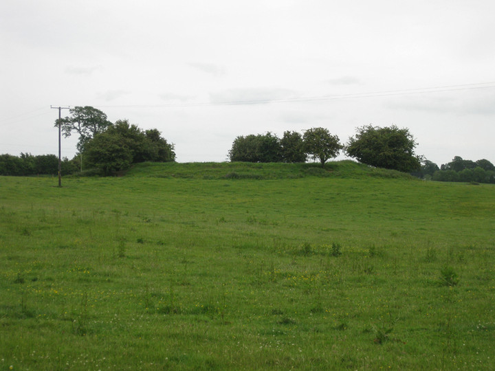
Very eroded mound, surprising that it’s survived so long


This has quite a large tree growing out of it, Dowth-like


Shot taken from the nearby road showing its prominent location