
In the small hamlet at Lough Gur crossroads – it had its own fógra once upon a time.
Image credit: ryaner

In the small hamlet at Lough Gur crossroads – it had its own fógra once upon a time.

At Lough Gur crossroads, 1.2 metres tall, 1.9 metres long.

In the next field south of Grange Lios stone circle.

1.5 metres tall, 2.4 metres long.

Anomalous stone grouping, down here as a stone row, thought by some to be the possible remains of a court tomb. There are more stones beneath the brambles.

Looking north-west at this impressive and bulky stone.

The west face of the stone looks as if it has been worked to give a flattened plane.


Looking south-east, almost 15 years since I was last here.

The sun came out for a bit and brought out the art.

The decorated stone discovered by Ken Williams 2 years ago,


Standing well back on the bank on the northern arc of the circle.


Sunday spin with my daughter and we took this one in, again – “Do we have to Dad?”

Ballykeel is great – the hill in the distance, to the north, is part of the Ring of Gullion.


The tomb is wrecked with a discernible chamber, though impossible to photograph properly.

The stones in the right foreground are the remains of a shallow court, those on the left are unsocketed and dumped there.

Now is probably the best time of year to visit Lemgare, isolated on the border between Monagahan and Armagh.

The overgrown mound/cairn that contains the remain of the tomb.


In the same woods as Killydrutan, late spring vibes abound.


Three possible gallery/chamber stones, the middle being the only one still standing.

Another arrangement of stones, further confusing the photographer – they’re about 40 metres away from the ‘court’.


Perplexing remains – I think the setting on the right is a very shallow entrance court.

Utterly neglected site, there’d be very little to see here in summer.

I uncovered this quartz-faced stone. It’s in a line of three stones, the only one of which is still in its original position is the stone furthest away in this shot. I had thought they might have been kerbstones of a covering cairn, but there’s a socketed stone even further out from the main structure, squashing my theory.


Whatever the original layout of the tomb, this one would have been enormous.

The most southerly of the six cairns, fully in Spinans Hill townland. The other five are in Ballyhubbock Upper.

The modern wall crosses the cairn and delineates the townland boundary between Ballyhubbock Upper on the right and Spinans Hill on the left.

The stones in the right foreground could be remains of a subsidiary cist from the old cairn, or they could be the remains of a central chamber structure.


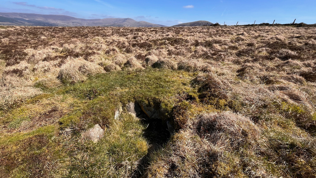
Destroyed central cairn, said to be a passage tomb.

Another view of the central cist, or possibly even the chamber of a small passage tomb.

Kerbstones, or possible passage portal stones, at the easterly of the twin cairns.