

The flagpole marks the highest point of Kilknock – the tomb, as is so often the case, is not sited on the summit, but 5 metres below it and 100 metres to the west.

Brougher mountain, to the left of the hill with the aerials, has 2 stone alignments, a possible megalithic tomb, a standing stone and 2 stone circles.

The turf, with the aid of plenty of sphagnum, has grown to almost inundate the stones of the chamber.

The stone in the foreground could be part of chamber outer walling or possibly a kerbstone.


Aligned NE-SW, the modern wall, probably using stone from the covering cairn, crosses the front of the chamber.

A metre tall, a metre and a half wide.


Two orthostats from the main tomb. Another couple of months and nothing will be visible.

Marked as ‘standing stones’ on the OS map, this arrangement is possibly the wall of a chamber of a second tomb. The main, overgrown tomb is under the gorse at the top of the hill.


There may be two chambers in the gallery of the tomb, but it was hard to figure out.


The front of the tomb is to the right – it’s mostly wrecked.

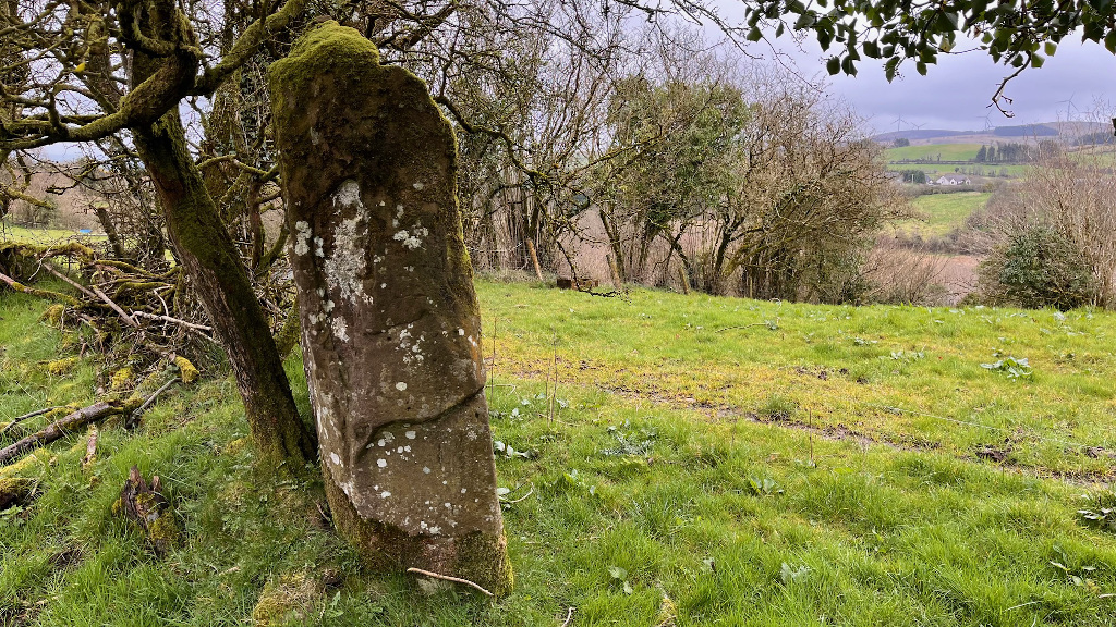
Which came first? Well, the tree actually – the stone is one of a pair, bulldozed and buried in a ditch; then this one was dug up and re-erected here by the farmer, not its original position.


Quite a substantial stone, but not in its original position, and without its partner.


Towards the south-east corner of an old graveyard and church.


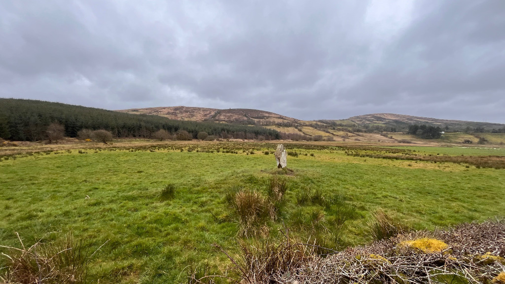
The ground rises to the left in the distance towards the summit of Sliabh Beagh.


Small circle stone on the west arc of the main mound.


Low winter sun over the Mound of the Hostages.

I was surprised by the extent of the informative board, even if some of the info is a tad skewed.


Looking south – the two shaped sides on show here.


Sweetly situated on the highest part of the field.


500 metres south of Mayobridge is the Long Stone.


Looking north-west at the 3.1 metre tall Long Stone.

It’s quite messy on top of Croob, made up for by the fantastic views, and the large but damaged cairn.

The cairn has spilled away down the east side of the summit.

The south and east sides of the cairn fall away quite steeply. This shot is taken from the south-east.

Looking north from below the cairn. The top of Slieve Croob has been much messed about with down through the years.