
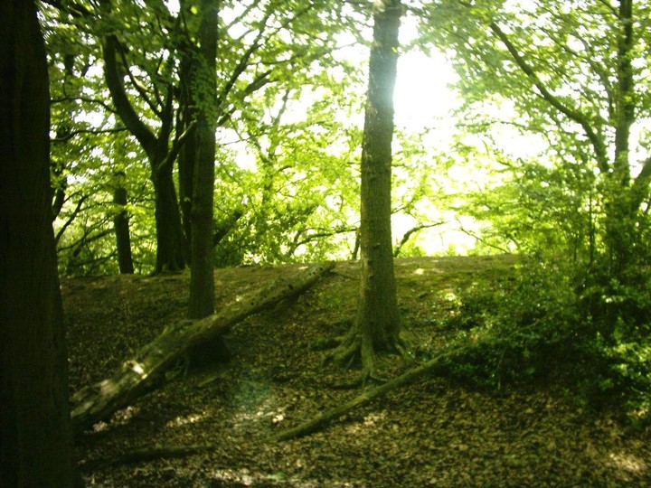
south west facing ditches taken from rock bank road
Image credit: brigantian
south west facing ditches taken from rock bank road

animal enclosure taken from main roosditch

animal enclosure behind main roosdyche towards dingle wood

main roosditch as on ordnance survey

ditchs emerging from bings wood towards roosditch

top of bings wood entrance maze

outside ditch bings wood
ditch in bings wood

South facing main Roosdyche rampart

Main roosdyche site including destroyed rampart picture taken 1979

letter suggesting the Archeology dept University of Manchester regarded the site as an Iron Age Fort

Map of the site produced in 1979