

are the slick black stones at RH & LH of image edge {in line with tape [out to to 1m]) small ‘slabs’ or pillar tops ? – is this really a burnt mound or are the stones overlay i.e. burnt stones or stones burned later ?

stone/slab near Duni Geo close to the caiirn – is exposed circular are about it prehistoric or from removal attempt abandoned owing to solidity ?

Christopher Read in front of tomb prior to talk


N hornwork with ?continuance outwith fence, where (not visible) there are also some dinky upright slabs barely projecting

discoverer [my old boss] John Hedges battles MS today to discuss the excavation


mound in approach showing excavated southern side with exposure


view looking southerly across mound and ditch, showing hillslope

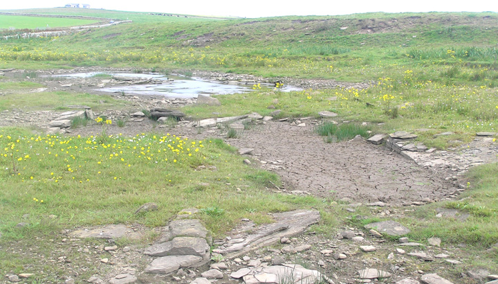
exposure in northern side of mound, with dark patch left of centre


Seeming curved section in otherwise rectangular feature A

Feature B semi-circular but ?rectilinear

Feature C showing angled dividors

Dividing ‘causeways’ of feature C
Features D (angled) and E (2nd sub-divided feature) with to rear of pic burnt mound

L-shaped feature D


circ. mound from S with possible dividing wall of chambers


view from stone scatter above hornworks to circular mound

view across top of circ. mound to chamber/s – is that a division’s top showing as rounded grassy ridge ?


view from chamber B1 of depression B3 left and 2nd ?chamber B2 right


taken Friday from main road when farmers on ploughed field again, tomb tippy-top of pic

view across slope to Ferry [/Fairy?] Point, deosil 1 of clockwise sequence

view from boggy area alonside tomb, deosil 2 of clockwise sequence

view showing steep slope that cairn is built into, deosil 4 of clockwise sequence

view across slope to Burrey Brae hill [cairn right not visible here], deosil 5 of clockwise sequence


