


near LH quadrant seen from passage, with skull niche behind ladder and S pillar where rest found [left side here]


eastern side of south pillar – skulls found by right side here


RH side; N pillar, niche, E pillar, double niche [lower part my ‘slot’]


inner end of passage showing bedrock chamber cuts into


chamber from passage, L-R; north and east pillars, skull niche, south and west pillars


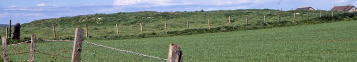


Brodgar E end of parish boundary at left ad end of Seean at right with structural remains
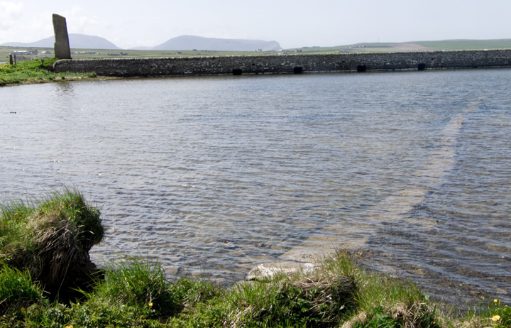
? S end of stepping stones [Watch Stone top left] a rather wavy line and shoreside stones would appear to be a modern extension. As a causeway would most likely connect to holed sentinel and thence the Barnhouse Settlement

from W end of new coastal path with edge of Ring of Brodgar far right, folk sitting on top for ?picnic


Fresh Knowe to Plumcake Mound from E end of parish boundary

looking over Fairy Well from top of bank with stones extending it back

Fairy Well coming down onto shore with old fence post roughly same height


Fairy Well main part – wellspring issues from base but are these stones in place or have they fallen into the well ?


SE9 i exposure near northern end of eastern slope, tape out to 1m

SE9 i northern side, Ness of Brodgar top left & tomb hidden by mound


