
phil

Cornish Legend has that this man was turned to stone for waiting at a bus stop on the sabbath.

There are several formations all over the hilltop.
2 of my nephews relaxing in the granite easy chair.

The 3 lower stones are held by metal bars, look close to see the tips.


This hole looks like it has been cut in the rock.
It always has water in it even in the summer.
The stone lies just inside the field at a Roche rock.
I would compare it to a very deep cupmark.

The hermitage is some how perched on the top edge of the natural rock outcrop.


No I didn’t hire a plane, My uncle took these a few years back.
THANKS UNCLE DENIS
Image credit: Denis Ellery


Essa 1 in the forground, Essa 2 in the distance, sheep in middle.
The alignment looks towards Bodmin Moor on the horizon.


Essa 1 – This largish stone is unmark on o/s maps
Judging by the weathering it looks like its been standing for a couple of thousand years at least.


This just totally dominates the whole landscape between St. columb and the Goss moor


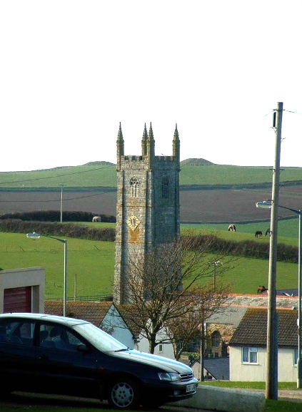
The double barrows of Trevelgue viewed from St. columb Minor. the church itself is said itself to be built on a pagan site.


The original ‘Cup marked’ stone, now in Truro Museum.
The one at Tregiffian is a copy!

My own version of a map dated 1888 showing a stone at Delford bridge. See the original map at
old-maps.co.uk/large_ind.htm?currentWest=10580.7752204482¤tEast=11532.3751701768¤tSouth=18540.4781176970¤tNorth=19054.3031176970&countyGridMap=10corn061

Looking towards the northwest.
Buildings at the back are at West Rose.


Side view of the stone.
This photo was taken from the roadside at......err Delford bridge


