
Looking South – to the cemetery gates and Gatehouse of Fleet beyond.
Image credit: Howburn Digger
Looking South – to the cemetery gates and Gatehouse of Fleet beyond.


The view North from the Lamlash Stones, halfway between Brodick and Lamlash.

In order to get to the stones I had to get past this horny cow. She was friendly!

The two stones form an alignment with Ailsa Craig just a few degrees off North-South.


The gnarled old timer gazes down on some young shags sunning themselves on the rocks.

It felt more like a grave than a stone circle.
This four poster lies at approximately the same elevation as Allt Cul Corriehiam but at a few hundred metres further East across the hill. You will find it at roughly the point where the broad level tongue starts to drop away. Again one stone lies fallen in the long grass. This four poster is a little smaller than Allt Cul Corriehiam and sits in a slight hollow and a few yards to the South in deep bracken sit two more stones in some kind of setting.
Despite being way out in the open air, I found the site felt quite enclosed and that it had less of the ambience and open-skied vibe of Allt Cul Corriehiam. Perhaps it was because the site perches above a narrow river valley with the steep sides of Burican Hill on the other side of the water. But somehow it felt less like a stone circle and more like a grave, with its two larger stones marking the head and feet.
As I stood up from crouching down to take a picture, a Merlin flew past me at waist height less than five feet away. I was nearly blown off my feet in surprise, but steadied myself and stood grinning like a fool as I watched it fly at breakneck speed down the hillside. I never find my time is ever wasted heading out to sites like these, even if the stones aren’t the greatest, Nature often steps in and gives you a wee treat. Particularly on Arran.

The second (and smaller) four poster on the hillside beyond the Teanga Burican.

The jaggy toothed three-quarter four-poster.
Beyond the Teanga Burican
I was surprised just how short and easy this walk was and just how fruitful the journey was to become with a wonderful array of sites ranged across the gentle lower slopes of Tormusk. They were only discovered in the late 1990’s and they include three four-posters, numerous cairns, cists, stone alignments and standing stones spread across the hillside’s lower slopes. I strongly advise plotting the sites carefully on an Explorer Series OS map from the Canmore site beforehand. A few feet of peat has been laid down since the sites were constructed, add to that a further two or three feet of growing heather, bracken, grass and reeds which conspire to conceal everything… but that is half the fun – seeing these ghostly, forgotten sites emerge from the undergrowth in front of your eyes! For those who enjoy bird spotting I saw seven different birds of prey (White-tailed Eagle, Golden Eagle, Kestrel, Buzzard, Hen Harrier, Sparrow Hawk, Merlin and Tawny Owl) in the leisurely hour and a half the walk took around this group of sites.
Directions – drive from Lamlash along the unclassified Ross Road two and a half kilometres beyond the Buddhist Retreat Centre. Park at the layby by the green sign marking the footpath to Shiskine. Or if coming in from Sliddery drive ½ km past Glenree Farm and park in the same layby. Take the Shiskine footpath and follow for ¾ km till it joins another path. Follow this path up the little wooded river valley. There is a fence on your right hand side. Descend to the ford (if the ford, riverbanks and riverbed is of red sandstone bedrock you are in the wrong place – return to the main path and follow it further upstream for 300m to the next ford). The path becomes a fine quad track. You will pass what appear to be three large capstones lying by the path. You will then find yourself passing through a gap in a large drystane and turf structure. This is the Teanga Burican and marks the beginning of the surprises! It might seem like the *rse-end of nowhere but this really is the beginning of everywhere – you just have to look carefully!
Standing on top of the Teanga Burican you can easily see a prominent standing stone on the hillside. Keep your eye on it as it is a useful orientation marker for the other sites. Continue up the path until you draw level with the standing stone and strike out confidently across the hillside towards it!
The West of Scotland Archaeological Service (WoSAS) report says that the prominent standing stone has a cup mark. I couldn’t find one. Perhaps I’d found a different stone. This one was about 1 ½ metres high and slanting slightly. For some reason the photos came out all blurry – so it’ll be next time for those.
Next, I headed up the slope looking for the first four poster 90-odd metres further on. All I could see was the mogre of near waist-high bracken and heather I was wading through. I felt my heart sinking… How on Earth would I find anything in this undergrowth? I counted off a hundred paces up the hill. Suddenly there it was! Right at my feet! The bracken had subsided a bit and the heather revealed a smashing little jaggy-toothed four poster right in front of my eyes! The stone to the North East is fallen, but lies right where it should be, snug in its peat and heather bed. The views back down to Bennecarrigan and the coast at Sliddery are stunning. The four poster sits on a broad gentle tongue just a few hundred feet up, but its elevation and situation on these empty moorland slopes give it a real lofty vibe.

The ancient sentinel of the wheelie bins stands guard.

Yet another capstone and the enigmatic standing stone.


Now a bit of an obstruction for the beach car park.

The mighty cave entrance at the foot of the cliffs at Bennan Head.

Looking down into the Black Cave through the collapsed roof entrance halfway up the cliff.

The fallen stone in the four poster is marked by the Explorer map for Arran. Looking North-East up the hill.

Looking down past this wee four poster over the Teanga Burican to Bennecarrigan and the coast at Sliddery.

Looking across the Kilbrannan Sound to Kintyre.

Machriewater stone. Nine and three quarter year old added for scale.

130 horses and riders crossing the outer ramparts of the lower fort on Bizzyberry Hill. Biggar Riding of the Marches 12 June 2011

130 horses and riders crossing the outer ramparts of the northernmost fort on Bizzyberry Hill. The fort platform is centred on the tree in the middle of the picture. Biggar Riding of the Marches 12 June 2011.

A wrecked cairn looks down on Devonshaw Hillfort.

Devonshaw Hillfort and beyond, looking across the Clyde and into the West and the hills of Ayrshire.

The profile of Tinto Hill with its mighty summit cairn. The sharp eyed might be able to make out the winding path snaking up Tinto’s broad shoulder (left of centre). Look just to the left of the path and the even sharper eyed might be able to make out the massive C*ck and B*lls burned into the heather.
A stonker!

The King’s Caves on their headland far beyond the sheer cliffs at Drumadoon Fort. Photograph taken in May 1943.

The roadside giant photographed back in May 1943. The wee fence has been replaced with a massive Beech hedge.

This beautiful rock art illustration is available for £11 (special offer at the Co-op for this this week only). Well worth the money. The £11 worth of beautiful art comes with a free 70cl bottle of irish whiskey attached. Rock Art – it’s the gift that just keeps giving.


The main cave group looking from South to North. Mrs HD perched on rock included for scale purposes.

Looking from North to South across the main cave group. Mrs HD perched on rock added for scale.
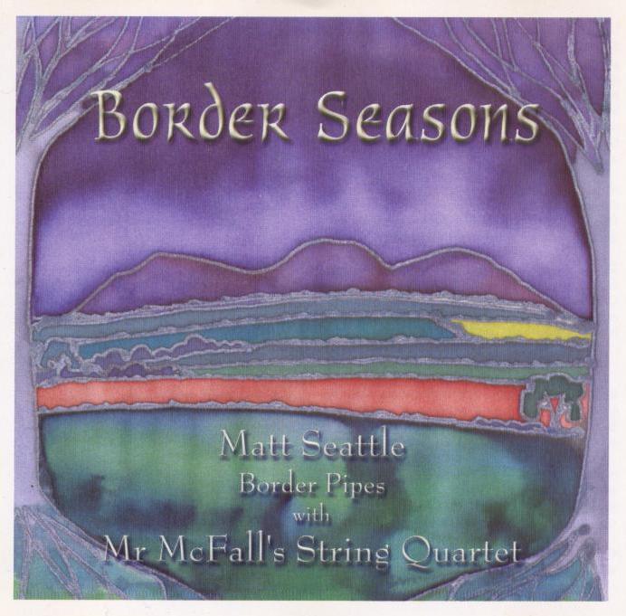
View of the Eildon Hills from Matt Seattle’s 2001 CD “Border Seasons”.

The round house stone footings are on the left. To the right you can see the curving souterrain with its central floor drain. When the monument was brushed and spivved up for the public, the floor area was covered in a thick layer of gravel which hides this interesting drain feature. The original occupants were storing stuff in there which they didnt want to get wet.

The gentlemen of the Maryhill Temperance Society on an outing to the Auld Wives Lifts in 1888. From a Glasgow Temperance League postcard.

The much graffittied capstone from the northernmost cairn.

The Giant’s Graves pre-Forestry Commission plantation back in 1890.

The last known occupants of the Black Cave, a traveller family, back in 1890. They are outside the western entrance.

The King’s Cross Point Standing Stone surrounded by its cairn back in 1894. Holy Isle in the background. The building is now a Buddhist retreat.

From the bottom of the ditch to the top of the inner rampart is more than four metres in places.

Mitchelhill Rings – Sunday 7 November 2010
A couple of hours free, I plumped for Mitchelhill Rings, a stunner of a hillfort on the eastern shoulder of White Hill. I nipped through Biggar out past the Rugby Club, over the top at Crosscryne and descended into the lost valley of Kilbucho. Parking isn’t hard but it isn’t easy. There is a fairly wide verge with some great old Beech trees at the side of the road nearest the hillfort (over the years I haven’t found anywhere better or nearer, but tuck your car right onto the verge as this is a narrow road with tractors and farm equipment rattling up and down it). Across the road from a little cottage go through a gate then follow the burn to the base of the hill. You can either go straight up the side of a forestry plantation or follow the track which winds up to the right. I just go straight up. The fort is about 300 feet above marked by bumps on the skyline. Once you reach the track halfway up follow the line of the spring which trickles down the side of the hill (it is betrayed by a fine healthy growth of reeds and a trickling sound). The source of the spring is just below the level of the fort, where (one above the other) two deep, mossy, reeded-up basins about twelve feet across and six feet deep catch the water of the spring. As I stood after the steep ascent, gathering my breath, my heart pounding (as it frantically tried to squeeze blood through my larded-up arteries), I wondered if the fort builders might have created these basins as an easy way of gathering an easy water supply on this high hilltop.
From the fort the views are incredible, the remains are impressive and look out over the gap which leads through to Broughton and Drumelzier. The isolated valley which Mitchelhill Fort broods over is an incredible place. It has no less than eight hillforts stretched across a space of less than four miles by one and a half miles. They guard this lonely valley’s few narrow entrances and exits. Many of the hillsides are scarred with rows of cultivation terraces, at least half a dozen “settlements”, many enclosures and I’m sure the modern roads pretty much sit on what went before. There are a number of burial cairns and one (possibly the pretty much destroyed one on Threepland Hill) held some very important people because two identical gold lunalae were discovered in 1859. Bronze Age axes and spears have also been found in the valley as well.
Sometimes a good map or diagram is worth a thousand words in helping to describe or imagine a place. here is a link to an OS map of the valley with the option of clicking for aerial view etc.
bing.com/maps/?v=2&cp=55.59186199568212~-3.505965423583973&lvl=13&sty=s
I had intended making the short crossing over the top of White Hill to Cow Castle hillfort for a few pictures – but the beautiful, still, frosty afternoon suddenly took a much more aggressive turn and first sleet, then snow began blowing in horizontally. I descended back down by the spring and said hello to a farmer and his collie dog as they rode their quad along the hill track carrying some bags of sheep feed. They waved back and headed further round towards Kilbucho. I was back at the car in ten minutes and in front of my fireplace ten minutes after that. The sleet battered at the window and I reached for the log basket. I was glad I was not trying to keep warm at Mitchelhill Rings.


Standing on the outer rampart looking westwards to Crosscryne and the top of Knowehead Hill.

The ramparts are particularly impressive. Not much plough damage at the top of this very steep hill.

