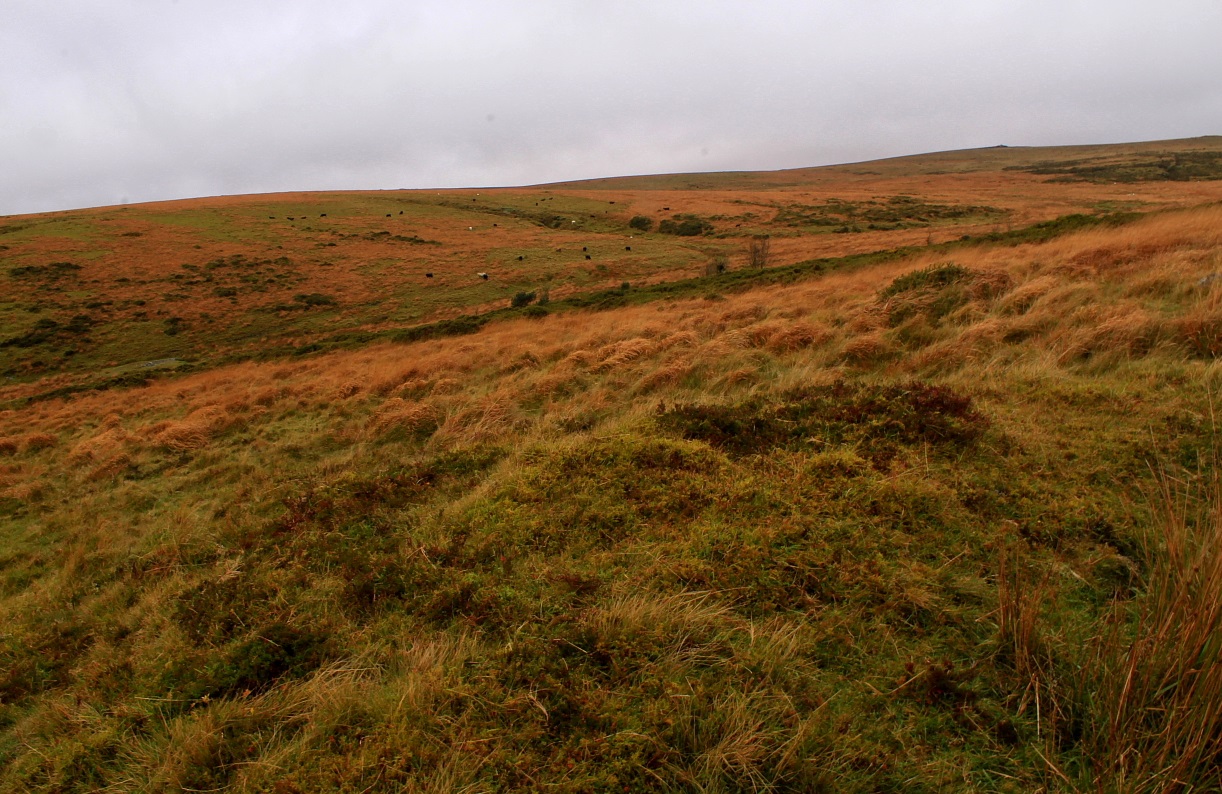
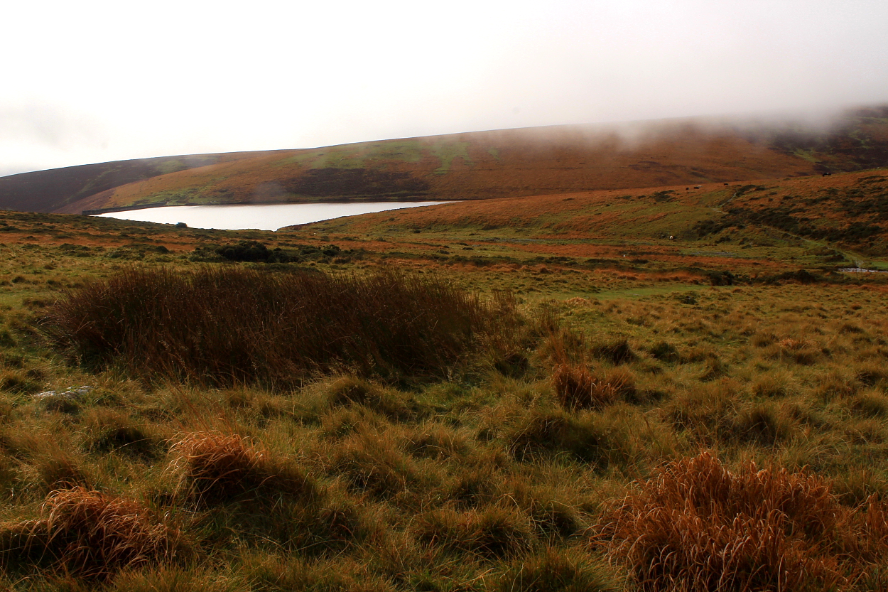
Although hollow, the eastern-most cairn is pretty substantial.
Image credit: Robert Gladstone

Although hollow, the eastern-most cairn is pretty substantial.

The far more upstanding monument some way (very approx) north-east of the summit pair.


Looking across the pair of summit cairns... Puper’s Hill rises beyond with its enigmatic tor cairn.

The co-joined settlements can be seen looking from Gripper’s Hill. Incidentally, the great ‘Heap of Sinners’ cairn is visible top right.
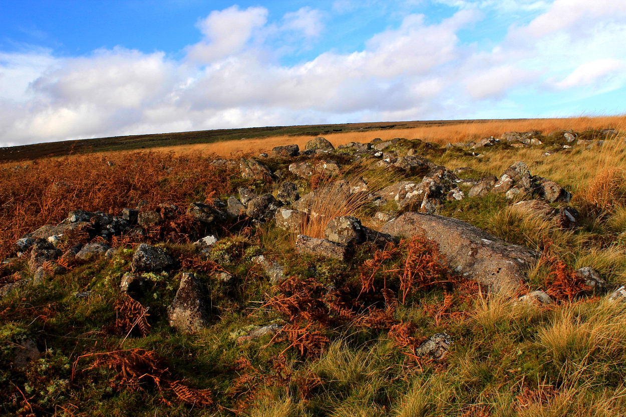
Note the enclosing wall... there are other settlements beyond, too much archaeology for one day.


Wonderful lighting following the morning’s storm front....

The Avon Reservoir engulfs part of the settlement... the dam can be seen top right.

The wall of this enigmatic enclosure.....
Starting from the T-junction just SE of Cross Furzes, I furtively made my way across Lambs Down, ultimately bound for Gripper’s Hill. However, I elect to stick to the umbilical security of the obvious ‘Abbot’s Way’ in increasingly violent, driving rain to take stock and wait for the promised early afternoon hiatus of the storm. Anyway, upon beginning the descent to Brockhill Stream two hollow, grassy ‘mounds’ appear to my right, further investigation revealing elements of stone within the turfy mantle.
Sheltering within the upper of the pair from the horizontal downpour (if anything heading at 90 degrees can be said to be moving in a ‘downward motion’, that is) I decide these don’t resemble hut circles imo... although there are enough of them around these parts, to be sure... and the cairn featured upon the 1:25K map doesn’t fit with the location. So what is going on here?
However... interestingly, perhaps... it would appear from Pastscape that at approximately SX683660 (i.e hereabouts):
“Grinsell failed to locate in 1976 a cairn 35yds in circumference which was noted by Crossing”.
[Sources:
( 1a) by Brian Le Messurier 1965 Crossing’s guide to Dartmoor
( 1) Devon Archaeological Society proceedings
(L V Grinsell) 36, 1978 Page(s) 138.]
It does seem rather odd no-one (apart from perhaps the legendary William Crossing) has noticed these before. I’ve assigned a designation of ‘cairns’, pending further insight or subsequent removal. Thoughts, anyone?

An aerial view of the monument seen from Drosgol, itself graced by a pair of cairns, naturally. Banc Lluest Newydd and Carn Hyddgen (right to left) rise beyond left background, both, of course, featuring cairns. So much more going on, too.

Toward Pen Pumlumon-Arwystli....

Sunburst, looking southwards from the central cairn. Y Garn lies in the distance. Also a must-visit for the upland antiquarian...

Central cairn... so large, it has multiple parasitical shelters built upon its footprint.


A section of the great central cairn, looking approx north-west(ish).

The huge footprint of the central cairn from the north... so large that it fills the entire breadth of the image. The well preserved southern monument can be seen extreme right.


Pen Pumlumon Fawr from Banc Llechwedd-mawr’s cairns to the approx north-west. From here one can view the first cascades of the nascent Afon Rheidol from it’s rising within Llyn Llygad-Rheidol.... Pumlumon’s hidden watery eye. LLyn Pen Cor-Maen can (I reckon) just be seen centre right of image, the northernmost of a series of small lakes set upon the lower rocky spine seen here (Fainc Ddu). The stone, if it still exists, is a little to the left (north).

Indicating the approx position (assuming it still exists?) of Pen Cor-Maen, alleged to form an alignment with the Cerrig Cyfamod Glyndwr to approx north (right).

Eastern flank, looking south down to Cwm Berwyn. Incidentally, you can just make out my car extreme centre left of image – I had a chat with an occupant of Cefn Bychan farm and locals are happy with that – as long as you don’t park like an idiot.

Again, highlighting the well preserved circular footprint of the southern monument... and the exquisite aspect of northern Pumlumon.... imo the finest upland Bronze Age landscape in Wales. Sun, too!


Gazing across to Banc Llechwedd-mawr and Drosgol... magnificent vibe here. Cairns, cairns... as far as one can see... Note the fine, circular arc of the footprint.


One of the small ancillary cairns... presumably later?


Note one of the little cairns mentioned by Coflein, foreground.

It has to be said – making the assumption that’s original cairn fabric within the ‘beehives’ – that these are very substantial cairns, indeed.

Pen Pumlumon-Fawr seen bathed in magical evening light from Banc Lluest Newydd 9/9/2020. The watercourse is the Afon Hengwm. And to think numerous muppets over the centuries would’ve had you believe Pumlumon is ‘boring’. The deep gash in the landscape conceals the source of the Afon Rheidol.


The additional ‘cairn’ to the north.... Carn Hyddgen’s cairns can be seen top left.