


Arguably the image showing the clearest form..

The tree cover lends the site a somewhat surreal vibe..

From the approx south (I think)... it would appear the yellow marker indicates the route of some orienteering path, or other... not the cairn.




Looking approx north towards the southern Diffwys... incidentally very, very windy

Western side of the bisecting wall, looking approx south...

Needless to say.... this is not somewhere to be caught in hill fog without a compass.


Looking towards Llyn Efyrnwy... rightly beloved of tourists. No tourists up here, however.


Dodgy conditions, so poor light – but nevertheless a pretty substantial monument, albeit well camouflaged upon the hillside.


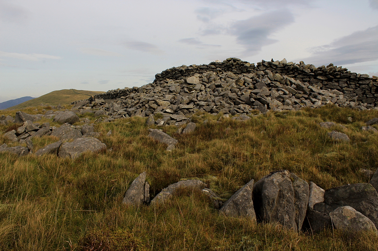
So, definitely a cairn, then. Remnants of internal structure are also evident. Esgair Nant-y-Moch, featuring a possible further monument, rises beyond

Anywhere else this was not ideal weather... but for Pumlumon, absolutely fine.

Looking across what was in fact a substantial monument. The enigmatic Disgwylfa Fawr – the ‘Watching Place’ – rises to the approx Northeast.


Looking across the south-eastern stones towards the southern of Y Rhinogydd’s two Diffwys... this example bearing its own Bronze Age monument (albeit an obscure one)

Note two ‘circle stones in the foreground – and possibly related stones right?

Bit distracted after an interesting chat with the farmer arriving on site, meaning this is not the exact angle I wanted to show... however, the ‘entrance portal’ to the Cerrig Arthur ring is (in my opinion beyond any reasonable doubt) aligned upon the great Twll yr Ogof cairn (Craig y Llyn) almost 5 miles to the south-east.

Fading light and very, very windy. What, no rain?


The trio of stones upon the southeastern arc... for what it’s worth, second time around I took this arrangement to represent an entrance portal to what was clearly a ring. As Mr Lydon once said ‘I could be wrong; I could be right’.

Approaching direct from Mynydd Egryn to the approx northwest – Cadair Idris forms the dramatic backdrop across the Mawddach.

Looking down upon the hill fort from Mynydd Egryn, southern Rhinogydd.

Always a fan of aerial views of hill forts... here looking from the wondrously undervalued – and very, very windy – Clip, northern Rhinogydd. The equally wondrous Ffridd Fron kerbed cairn lies unseen (centre-ish), The Lleyn Peninsular rising above Tremadog Bay beyond.


Flattened or not, a wonderful viewpoint.

The heart of lower Mid Wales sits upon the skyline...


Looking from what I had mild suspicions could’ve been the remains of another monument to the approx west. However, after viewing the excavation report...

The cairn is somewhat more difficult to appreciate than in Kammer’s images almost two decades prior. I didn’t feel much vibe, although perhaps that was because I was en route to Caer Maurice.

Approx centre of the wondrous be-cairned ridge, looking from Caer Maurice. Esgair Fraith is to the right, with the massive Carn Fawr out of sight beyond the trees to the left..

Carreg y Bwci can be seen (centre, middle far right) below and to the right of the obvious cairns surmounting Esgair Fraith, centre right. Viewed from the wondrous Caer Maurice


Northern flank looking west – wouldn’t have wanted to assault this back in the day.


Looking north – exquisite countryside, to be fair.

I kinda thought this might be the remains of a former entrance