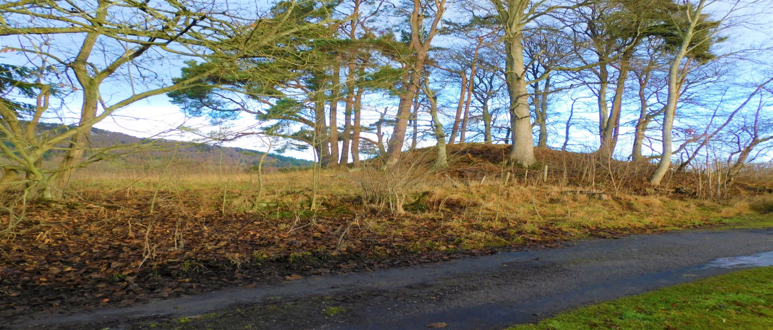
The cairn with hill of the same name behind, north west.
Image credit: drew/AMJ

The cairn with hill of the same name behind, north west.


Looking north east, Druim Nan Damh has a pot gold behind.


Enclosures, from the medieval, surround the site, no need guess where the stones came from.

Looking into the chamber of this superbly located site.

Close to the fort of Rarichie “Tobar na h-Iù” [“The Yew Tree Well”] can be found. In the folklore of the area it was a Danish Fort or a fairy-fort but it is a fort from the time of the Picts. According to Watson’s book the Picts used to say “Tiugamaid ’bhàn ’dhèanamh rotha riachagan,” [“Let’s go down to make rows of scratches [to sow seeds in],”] they used to live at Cadha an Ruigh’, closer to the slopes of Ben Nigg. The well had healing properties and it would be used for “White Swelling.” At the base of the fort the well could be found. There is a verse connected to this well:
“Tobar na h-iù, Tobar na h-iù,
’S ann duit bu chumha bhi uasal:
Tha leabaidh deis ann an iuthairnn
Do ’n fhear a ghearr a’ chraobh mu d’ chluasan.”
[“Well of the Yew, Well of the Yew.
To thee it is that honour is due;
A bed in hell is prepared for him
Who cut the tree around thy ears.”]
A Yew Tree used to be close to this well, with its branches hanging above the well but it was chopped down some time a long time ago, I haven’t found a story to see if it was chopped down by someone, or what happend to the person after they chopped the tree down!
DASG Blog

Looking from the north east – south west gives a better idea that a cairn is hiding beneath the the gorse.

The north side isn’t much better, glimpses of the cairns height.

A bit more of the footprint can be seen as it veers westish.

The north side of the nightmare that is Cnoc Nan Taibhsean


Looking over the walls to the north and out to the North Sea.

Stonework on the south side looking south east towards Easter Rarichie.

Stonework on the west side looking north east.

Erosion or animal damage on the west side of the dun.


Seen from the north west point of East Rarichie.

The lowest of the west defences, covered in aging vegetation, but still recognisable.


Lower defences either side of the grass path, this on the south.


Looking south over the Cromarty Firth towards Culbokie.

Looking south west down the Cromarty Firth towards Dingwall.


Top of the stone looking north west.

From the sailing club car park side of the road.