drewbhoy

drewbhoy

All posts expand_more 12,051-12,100 of 13,340 posts

North Rayne

From the Drum of Wartle crossroads, an excellent pub on the B9001, take the road west to Colpy, the A920. Turn south a couple of miles further on at Kirkton Of Rayne signpost. Keep going up the hill until the Smiddyhowe croft/farm the cairn is in the middle of the field to the west. Easily spotted thanks to the 4 ash trees.

To the south is Bennachie, to the north Rothmaise Hill and the Black Cairn. Further west is the similar cairn at Mellenside.

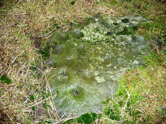
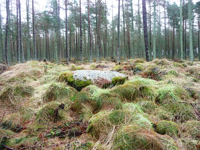
Nothing much remains of this cairn. It is enclosed by a dry stane dyke probably made from boulders from the cairn. It stands at a half meter in height. All in all rather sad, given it’s fantastic location. At least the farmer seems to leave it alone another faint memory of a once proud past.

Still the pub at the Drum is nearby and I’m no stranger so I’d better say hello.

Visited 8/2/2010.

Piper’s Stone

On my way into Aberdeen at lunch time to catch a bus I stopped at the Pipers Stone near Oldmeldrum. I didn’t know of its existance until Rhiannon’s informative links post. (Thank you) Bourtie is a small hamlet just south of Oldmeldrum, about 1 mile west on the minor road from the A947. To be fair road conditions were not good but the car battled away leaving, thankfully, only a short walk.

The Pipers Stone is in the field before before the church and was used by pipers to greet guests at weddings and the odd funeral. Luckily I know the pipe major for the Oldmeldrum Pipe Band and he has offered to look for any interesting stories which I’ll hopefully post in the folklore column.

The stone itself is well weathered and surrounded with some field clearance. It has a beautiful location looking up and down the Bourtie valley, behind Barra, home to the famous hillfort. With the visit complete I headed back into Aberdeen to catch the bus.

Several hours on, I would think one or two people might be having a laugh at my expense as I sulk on the way back up the road. Time for a snooze!

Visited 2/2/2010.

Waterside

This is a very ancient place and disoveries from the Mesolithic, Neolithic and Bronze ages have been found here, and along the road at Wester Fintray. One thing at this site is obvious, as at Kintore Golf Club, is the River Don which might explain why there is so much activity in this area.

As for the cup marked stones, that Canmore mention, I think I found one shallow cup mark on a rock, the rest I couldn’t find. There are hundreds of rocks and outcrop here so someone who knows, far better than me, what they’re looking for might have a field day.

One thing I did find was a big rock that looked very much like a recumbent stone aligned perfectly with Bennachie. There are choke stones. The River Don, I would think, also plays an important part.

The cairn is forty feet wide by 4 feet tall. At least 5 kerbs remain in place. However damage has been caused, not only by the rabbits. On the eastern side tractor tracks can quite clearly be seen, on the western side a dry stane dyke has been built.

Once again very easily found. Leave Kintore heading east towards Hatton Of Fintray. Over the bridge (**WARNING This road is often flooded, and has been several times in the last two weeks**) past the golf course, the cairn there is easily seen, go past Waterside and stop at the next house on the left hand side. A short walk further along the road and the site is amongst the trees.

Visited 28/1/2010.

Hillhead Of Suttie

The Hillhead of Suttie is in an area crammed with ancient history. Just to the south are the ancient settlements at Larrick and Newton Wood, to the north Greenlands. This is a place, I think, of significance.

Not so long ago the Postman, Gladman and myself commented on the fact many sites are labelled cairn when the powers that be can’t think of anything else. As the images show there is a Recumbent (western side over 1.2 meters high, 1 meter in width), probably, aligned to Bennachie but the trees are in the way. Several stones form a circle, two of which are visible at the moment some tramping finds others. A cairn some 12 meters wide by 1 meter high sits inside. Inside this a possible hut circle has been built, once again the stones are obscured by grass.

From Hatton of Fintray stay on the B977 until a minor road indicates Inverurie. Keep going until the forestry works road, after Larrick, on the left. Park here and follow the track, by foot, for a 1/4 mile. The cairn/RSC is on the right hand side of the track. Fairly easy walk, watch for the puddles and dubs.

Visited 28/1/2010.

Clovenstone Farm

This is where folklore and ancient history meet head on. In the field due north is the Camie’s Stone and the Clovenstone is a massive rock where various witches, including Isobel Cockie had their cases judged. (fate dealt more likely!) By this time, my sidekick had arrived so the Mad Man climbed up and down for the images. (His better half having more sense brought along some much needed tea!) Looking up and down at this rock, and I know other people feel things at such places, I felt a sense of foreboding and doom. Maybe because of Deystone, various unfortunate witchs, maybe because of an ancient battle between the locals and the Danes. Dunno! Hard to describe, but similar to the feelings I get when I visit Culloden.

Clovenstone is found traveling north of Kintore on the A96, the farm is signposted. Keep going straight, don’t turn the rock is to the north (150 meters walk max.) just before Clovenstone farm.

Visited 28/1/2010.

The Knock

Once again a very easy but impressive place to find. Leave Kintore heading south on the B977, just after Leylodge take the Lauchentilly, west, road. South Leylodge RSC is in the field to the right but for The Knock keep going. This road should be renamed Rubbing Stone alley as they are numerous on both sides of the road. Keep going until the Tillybin junction and stop.

Look north, The Knock, is a triangular stone, some 200 meters slightly uphill from the road. According to Coles it had been part of a circle and it’s easy to see why. A rubbing stone is the next field, there is one across the road as well. At the top of the hill there is field clearance with many stones that might have stood in a circle. Branwen has mentioned Canmore and measurement problems, in the intervening years this stone has grown by a half meter. The earlier date says 11/2 meters high by 1998 it was just over 2 meters high. Today it stood at 2.04, they say 2.05 so thats ok. Could be, of course, that the stone has been re-erected.

Good views, historic area South Leylodge at the road’s start, The Knock in the middle and Nether Lauchentilly standing (now fallen) stone at the road’s end.

Visited 28/1/2010.

Ferneybrae

On a day mostly spent looking for clues about witches and wells at nearby Deystone a few little visits were required. Just to keep the leg ticking over, nothing strenuous yet but it’s coming.

This is a well weathered, vertically aligned weather patterns according to Canmore, stone which stands at 1.4 meters tall by a meter wide. Nothing significant then, wrong. Chris pointed out that there is a straight line of stones/circles from Tyrebagger to Broomend of Crichie and beyond. This is one of the parts of this puzzle or part of the ‘spokes’ of a wheel. (I have the same theories for Pitglassie and Cairndale)

Leave Kintore going south on the Deystone minor road and turn right at the Brae Farm signpost. This is a very good road if you like puddles, pot holes and stomach churners. Keeping going thru the farm and the road improves (it does), keep going until the electricity pylons come into view and look left. The stone is a short walk into a field near Ferneybrae cottage. To leave keep going on and the Kinellar road will be reached. Right for the A96, left for Kinellar Church and it’s RSC.

The list, so far, Tyrebagger, Caskieben, Cairntradlin, Ferneybrae, Tuach Hill, Cairnton and Broomend Of Crichie. There was a stone at Scotstown, near Blackburn, but that has gone!

The Garioch area either side of the River Don is teeming with ancient sites. What a place! Add some folklore, away you go!

Visited 28/1/2010

Peat Hill

Follow the directions to the Peathill standing stone and walk another very easy 80 yards to the North East. This barrow, indicated as a tumulus on some maps (reclassified as a cairn by Canmore), is all but gone and will be eventually ploughed out. It is less than 30 cm high and is almost 14 meters in diameter. Only a few stones remain a faint reminder of ancient times.

Very easy to reach and sadly, I would think, soon to vanish! The leg is in one bit but a wee bitty sore, The Boar’s Head Pub is nearby, it would be a shame not to have a look.

Visited 25/1/2010

Mellenside

Mellenside is in the perfect position for cairn. Good all round views especially of Bennachie to the south. This was, at one time, described as a “fine cairn” being over 30 meters in width. Now the remaining stones are in the middle of a copse with some field clearance to keep them company. At least two of the larger stones are earthfast and are probably kerbs. Sadly most of the stones have probably been used in the building of dykes and farms.

This is easily found and fortunately a very short, flat walk of about 200 meters. Leave Colpy, on the A96, taking the A920 to Oldmeldrum. Take the first right, marked Williamston and head south on the Lawerence Road (a drovers road which was possibly used by the Italian chaps and their pals). Turn left, going up a very steep road, and the location of Culsalmond Church can be seen, previously this had been home to a RSC. Along the road is the Mummers Rieve cairn. There is plenty of parking at the Mellenside signpost. Look right and the copse of trees can be seen in the middle of a flat field.

Visited 25/1/2010.

Kintore Golf Club

After the stuffiness of an over heated waiting room and the brain dead numbness of the magazines fresh air was needed and an easy option required. Kintore Golf Club came to the rescue. Take the B977 from Kintore and follow the signs to the golf course. I drove past the club house and pulled into the first right.

The cairn is a short walk over the hill and is according to Canmore, 40m by 35m and 31/2 meters at it’s highest. It is to the credit of the club that when Bronze Age artefacts began to appear that course reconstruction was halted and then changed. On a clear day the towns of Kintore and Inverurie are clearly visible as are Bennachie and the Tyrebagger. The River Don meanders along the Garioch countryside at the valley floor.

On the way back I didn’t manage to drive past the club house. I was forced to partake of some refreshment and watch some football. Oh the strain!

Visited 23/1/2010.