drewbhoy

drewbhoy

All posts expand_more 11,701-11,750 of 13,340 posts

Greengates

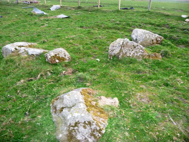
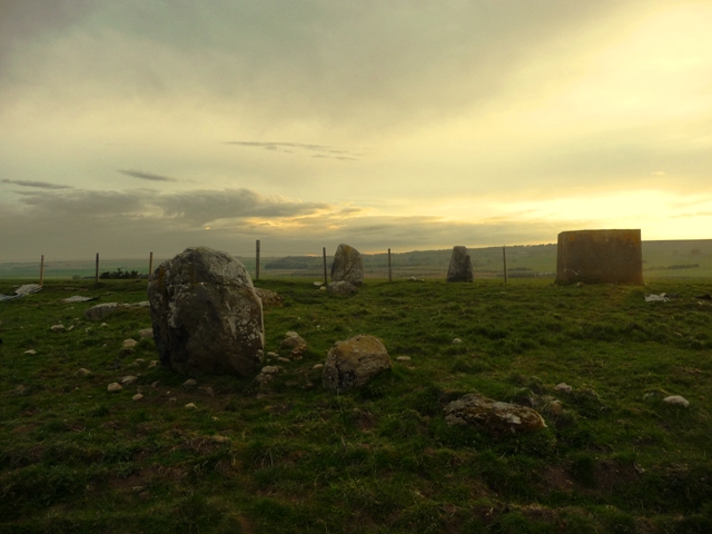
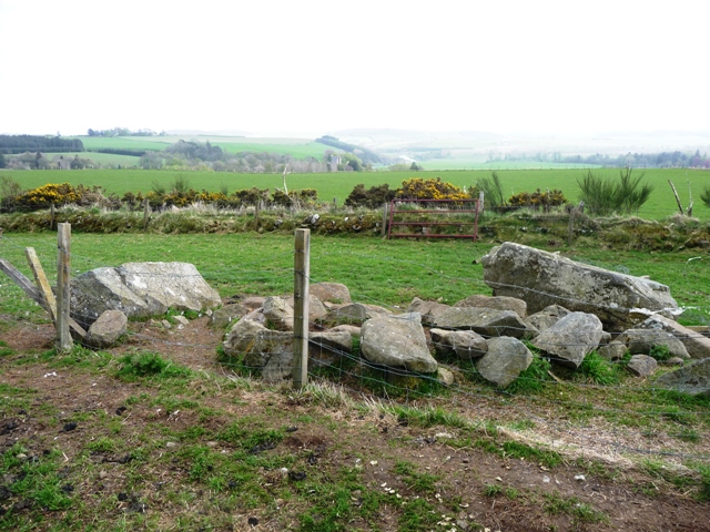
Heading north from Crimond take the first minor road east from the A90. The first farm, Netherton, has a complete RSC. At the next farm, Greengates (1/2 mile along the road), stop here. I asked permission from the current occupant, who rents the property, to park. He was astonished to learn that such a thing was so close to the house. He didn’t even know about Netherton or Berrybrae.

Once I was finished at being surprised I found the stone no more than 10 meters into a field containing the best behaved cows I’ve ever seen. The stone stands, a gray granite, at 11/2 meters and possibly is an outlier for the Netherton circle.

Visited 2/06/2010.

Woodside (Maryculter)

An easy cairn to find on my way back home from Fraserburgh, Broch in these parts. Leave fraserburgh heading east on the B9031, take the first minor road east before Sandhaven.

Follow this minor road for two miles. The cairn is situated to the left side of the road just before the small village of Peathill.

Canmore tells us that the cairn is 26 meters north to south, 24 meters east to west. All that is left is a badly shaped ruin which in it’s day must have been hugh. Sadly the cairn has been robbed of most of its stones going by the amount of dry stane dykes in the area, tho many stones can be seen on the western edges. In 1785 a cist had been found. The marks of this excavation or perhaps quarrying can be seen with a large hollow in the middle of the cairn.

The road, B9031, leads back to the B9032 which in turn leads to the cliff forts at Dundarg (near New Aberdour), Cullykhan/Fort Fiddes (near Pennan) and eventually Cleaved Head (near Macduff). Be warned this road is a coastal route steep braes and nasty corners. Beautiful coastline tho but take care!

Visited 26/5/2010.

Cairn Of Beith

There are supposed to be two cairns here, one large one small. I found the small one which is about 6 meters wide and 1 meter tall. It is mainly grass covered but a few stones poke their heads out. The scenery is stunning as it looks down onto the Deveron valley.

Leave the A97 and take the B9117 towards Rothiemay, which follows the Deveron. Take the first minor to the right and climb all the way to the top and park at forestry works road about 11/2 miles away. From here follow the track until it stops. Head towards the the tree line then walk west the cairn is amongst fallen trees.

Winter and snow/high winds have been cruel, almost every tree will have to come down if they haven’t already fallen. It was a hard enough job finding this cairn, the second is covered in acres of fallen trees. No matter how hard I looked I couldn’t find a way to the highest point. So hopefully the forestry people will take care when moving the trees and not damage the cairns. Luckily I’m in this area every now and again so I intend to watch for the start of the clean up so eventually I can find the second cairn.

Visited 25/5/2010.

Cleanhill

After the sharp corner on the A97 going south from Aberchirder the road heads west and downhill. Half way down the hill look south to the other side of the road. The standing stone is next to the fence.

At its base it is 3 feet wide and about 5 feet tall and looks down onto the Arkland Burn which enters the River Deveron near the Marnoch bridge. There are no markings on the stone. So no walk involved, but watch out for speeding lunatics driving far to fast.

Visited 25/5/2010.

Clune Hill

I parked at Monthammock farm and walked across the field to the east behind the farm. This is a beautiful place, stunning in many ways also astonishing as I’d never heard about it until coming back up the road from Glasgow today. (I’d to deliver a keyboard to somebody who lived in Durris nearby!) Why oh why is this site not better known complete with a kerb cairn next door, also a cairn.

One thing was against me hunting further, thunder and lightning ensured a thorough drenching for our intrepid hero. So it was back to the safety of the car, tho the lighting show was every bit as good as the previous nights, the music was somewhat scarier!

Visited 23/05/2010.

Auchencleith

After climbing Bennachie in the morning forgetting to take my camera and phone from the car. I felt a complete muppet as I found another cup marked rock on Little Oxen Craig. So back down I trudged on my way to the day job.

From Inverurie take the Rothienorman road, B9001 turning east at the Oldmeldrum junction. Auchencleith is the first farm after the crossroads. The rock can be found in amongst field clearance, western edge, next to the road, to the right immediately before the farm. 8 cup marks can be seen. 6 at 3cm wide 1cm deep and 2 at 6cm wide 1cm deep. Once again Bennachie is clearly in view. However this stone has been moved.

Allan Maitland, brother of Bill who owns the farm expained why the rocks had been moved. More than 25 years ago the rocks had been scattered thru the fields. They were gathered together and put into a couple piles. This enabled the field to be used for cattle grazing. What was good about this was that Allan knew about the stone at Balhalgardy and said the markings were similar. Across the road is a cup marked rock at Cuttlecraigs found by somebody who lives in Tealing.

The oasis grows by one, one more coming very soon.

Visited 19/05/2010.

Upper Auchnagorth

Fieldnotes 2nd Route.

Going east on the A98 from Macduff go past the Turriff (hard to go past this one) and New Byth junctions until Lovie’s quarry. Head to the top of this small hill and pull in. There is enough room, if not there is a layby half way up. The circle is on the south side of the road. Thru gate head diagonally across the field and climb to the next gate. The circle will be visible just follow the track. This is a far better route than the other I mention. No rubbish tip or barbed wire to trip over.

Re-visited 19/05/2010.