


Looking west, somewhere that direction is the stone circle, our final destination.

The Sidlaws, in background, which we would eventually walk to.

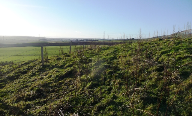
Looking south east over the monument. River Tay in background.


From the top of the cairn looking south towards the River Tay.
This might look like a massive cairn but it isn’t. It is a natural mound some 30 meters wide by 4 meters high. The cairn is the top bit some 12 meters wide and 1 meter high. It is situated in a beautiful place with beautiful views, the River Isla to the south and the Highlands to the north. Going by the field there is a fair chance the mound was an island as the Isla seemed to be returning to normal after recent flooding in the area. Certainly the walk to the mound created a lot of misery for the old boots. Formerly it was used, as normal, as a place of justice.
However the sun came out and it became a very calm and warm place. Within another hour things would somewhat change.
Leave Coupar Angus heading in a northern direction on the A923. Cross the River Isla and stop at the first crossroads then look east.
Visited 2/1/2015.
Also known as Baldowrie Farm the stone is what everybody else says so I’ll mention the cairn instead.
The cairn is kept intact by a wall covering the east/north/west curve. Superb views north, today the highlands are white but the snow is coming my way later on. Sitting at 13 meters wide and 0.7 meters tall the cairn has had several cists removed. Prehistoric discoveries have also been made in nearby fields.
So a nice place in a nice setting!
Visited 2/1/2015.

Not the best light but the spiral is there.


The stone on top of the cairn and a clean car!

The stone as usual but the mound is the ancient bit.
I headed along, west, from the artificial mound at Newbigging and turned west at the crossroads. About 300 meters or so along the road I pulled and promptly waddled into the biggest mud bath I’ve been in for a while. The cairn is only 200-300 meters from the road but today with all the rain and melted snow it’s a bit of a nightmare.
The cairn is 27 meters wide and 2.5 meters high. It most likely has the remnants of cist in the middle. Certainly the correct shaped stones are still there, but you do well to notice them given the vegetation. Views north are superb, but at this time the continuing snow on the hills blocked the view. Happily the weather was about to improve for a wee while.
Visited 2/1/2015.
From Belliduff I headed south on the B954 and then took the first minor road heading west. Take the first minor road south west. Near the end of the long straight the mound can be seen in the field to the north. I parked at Auchtertyre farm and walked back down the road. With all the rain the field had become a mudbath so I squelched merrily along to the mound with sound affects.
The mound is 10 meters and 1.5 meters tall. Trees have been planted on top. The wall that is meant to surround the site seems to have vanished. Wonderful views north do exist but they were obscured by heavy snow.
Visited 2/1/2015.


Leave Meigle heading south on the B954. There is a wall on the west side of the road just after the houses come to an end. Stop at the first gap in the wall. The cairn is a very short walk from the main road on the other side.
Yet another bit of the Macbeth saga is found. (how many times did this guy die ? :-) )
The cairn stands at 15 meters wide and is 1.5 meters. Cists have been opened here and their stones might be here but there is also a lot of field clearance. It is heavily overgrown with a walkers worst enemy, bramble bushes. Still its a nice site with the various vegetation giving some wonderful colour.
Visited 2/1/2015.


