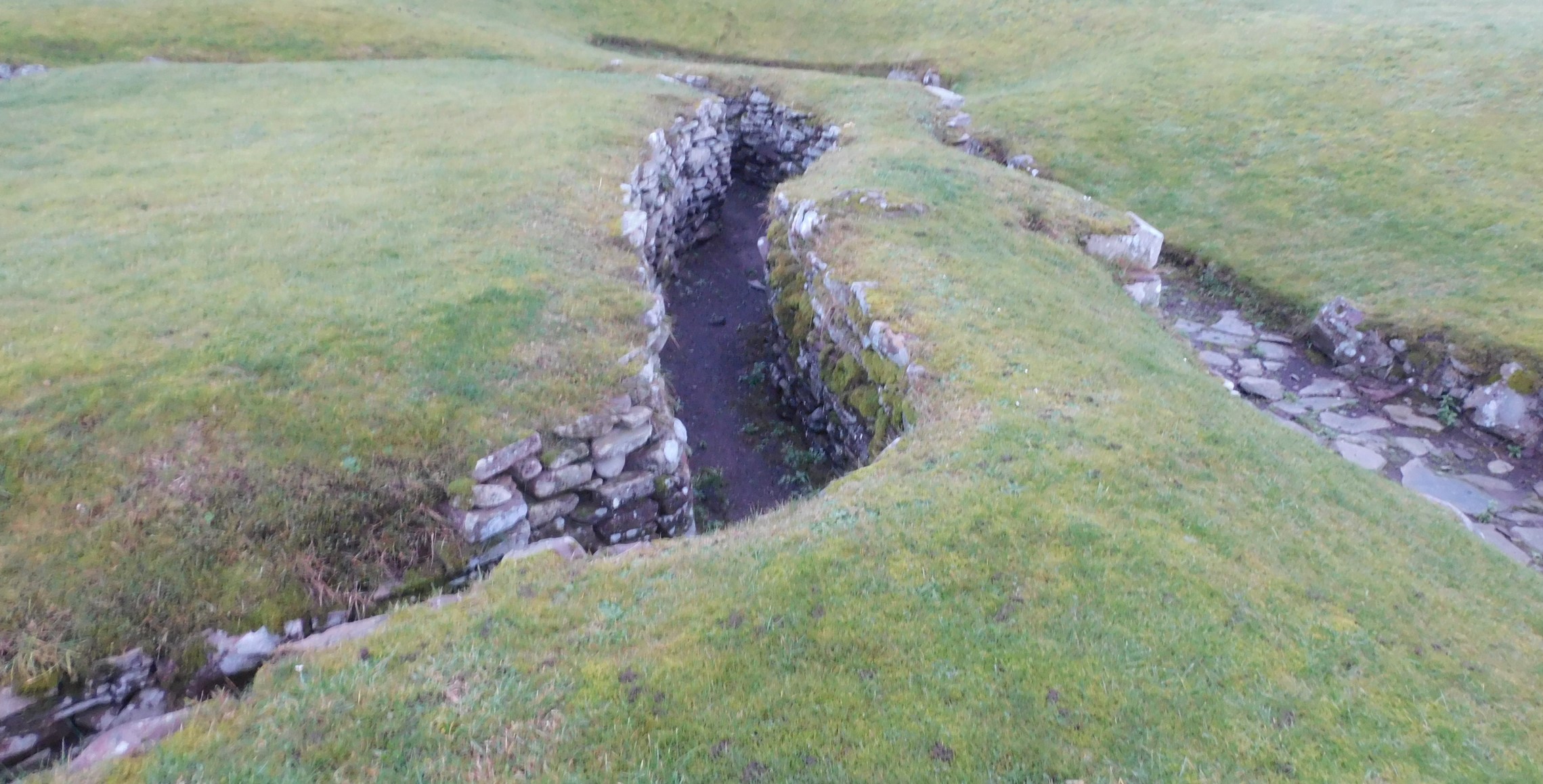
Looking east, Dun Fumhair in the distance.


The sun in the south west, reasonably warm, that would change.

Large stone might a moved kerb or just dumped, on the north side of the cairn.

The shimmer in the distance is the start of the Beauly Firth.
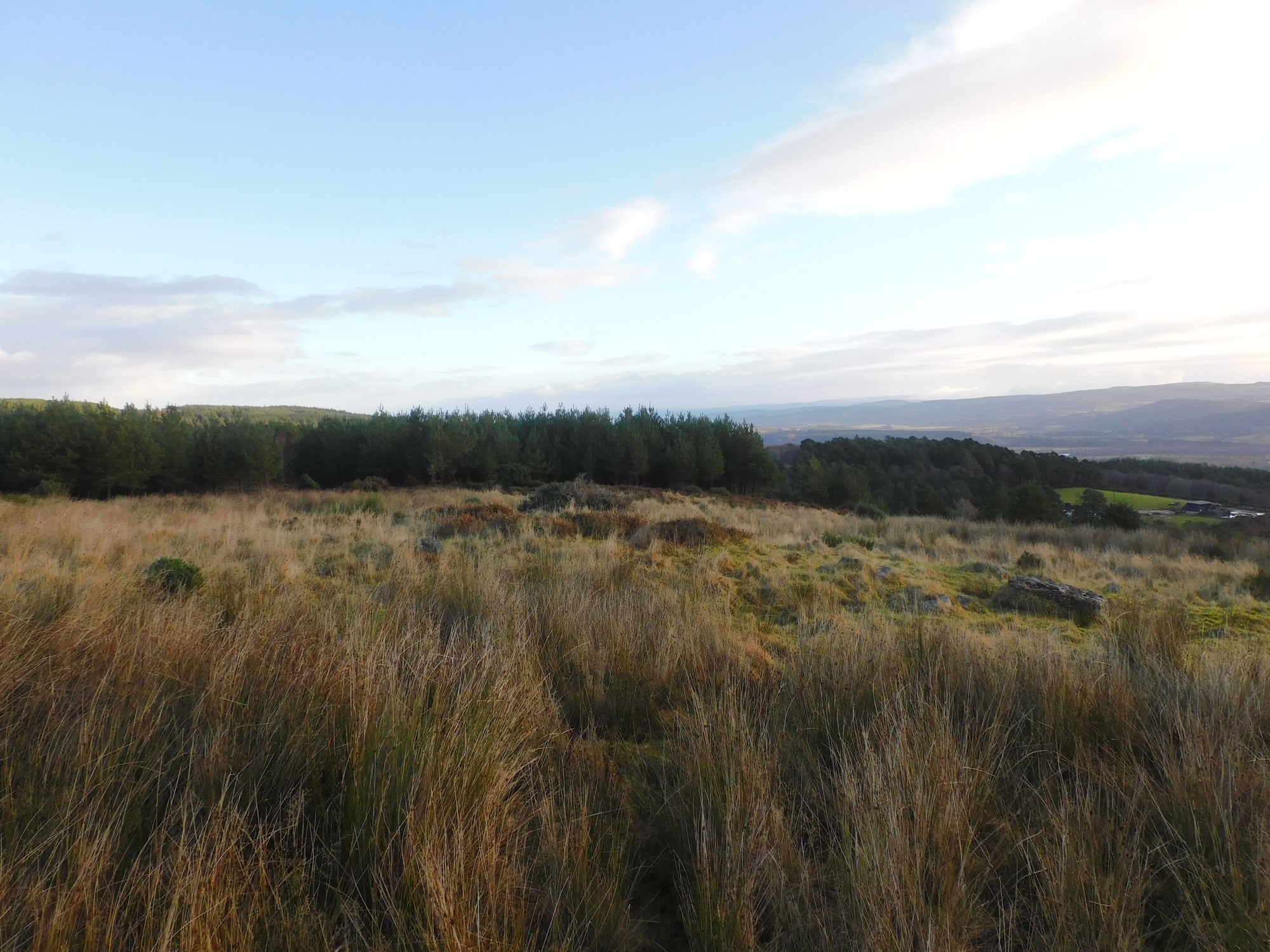

An important site and yet to be recorded with Canmore. The Welton cairn can be seen in the distance.

Large kerbs can be seen looking west, loads of prehistoric sites, Wester Coul, Strone Hill, Pitmudie, Foldend etc etc


Larger kerbs on the south west, makes you wonder if the longest stone once stood.

South part of the cairn with kerbs, Loch Lintrathen in the distance, the slope to its east home to another cairn.

Kerbs just about mark the outline of this soon to be recorded site.

Looking northish, on top of the hill you look down on the Strone East cairn.

The Brankam Cairn looking over to The Carrach, home to another cairn.

The outline of the cairn shapes the top of the unnamed hill between Brankam and Welton.


The top of the cairn appears to be slightly houked, then again it might be animal damage.

The cairn overlooks Dalnaglar Castle which is a few hundred meters north,

Looking north west towards the A93, white van, and Meall Odhur and Meall Dubh the closest peaks.

Some kerbs and Lamh Dearg posing behind the trees to the south west,


The great unwashed to the east, Dalnaglar was far easier to find than the site I’d come from.