
A small part of the inner cairn remains, the Cromarty Firth Bridge in the background.
Image credit: drew/B

A small part of the inner cairn remains, the Cromarty Firth Bridge in the background.


In the fields/woods to the north west are several stones with rock art. They’re for another day.


Looking north west, this must have been a memorable site a long time ago.

Looking north west, could be a massive kerb or a side to chamber/cist.

Looking west down the Cromarty Firth towards Dingwall and Ross County’s ground.

From the north west, look closely, the devil made his mark.

The devil’s cup mark is on the right side of the stone, near the bottom.


Looking north west, Strathpeffer nestles in the valley below.


If the trees didn’t obscure the view to the south you’d see Knock Farril Hillfort


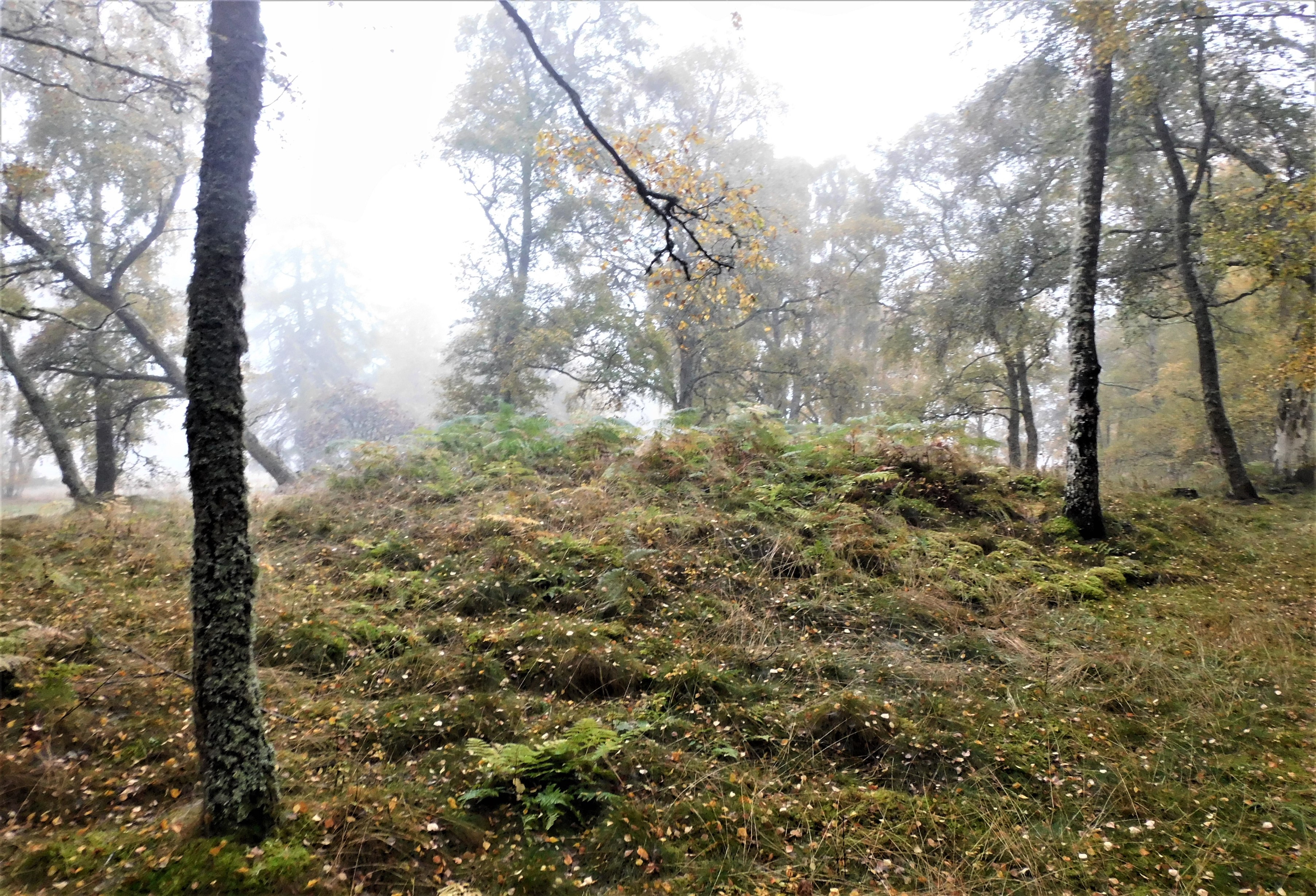
South looking north, the cairn can just about be made out.


Looking south west, the outline of the cairn can just about be seen.

Looking north, the mist still hanging about, large kerbs, some of which have been moved.

Approaching from the south east, the cairn is in among the trees.

A brilliant painting by my good friend and guitarist Steve Inglis.



North entrance, the weather had been kind, on a slightly rougher day no chance. Very exciting end to the hiking around Barra, Vatersay and Mingulay.

The north end of the arch, daylight and clear sea suddenly appears.


A gap in the arch, if you could climb up there and walk a short distance Dun Mingulay would be reached.

A closer look at the entrance before overhead is dark.

It almost takes all sense of reality away being in here, it’s like a huge cathedral but silent.


A bit of zoom almost reveals evidence of a wall.


The probable landing place, not for me, plans are being made for island behind tho :-)