


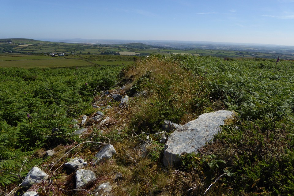
The overgrown cairn at SW 4751 3616 hides a magnificent kerb.

The western rampart, looking down on the quarry and out across West Penwith.

Looking north towards Trendrine Hill and Rosewall Hill, both with Bronze Age cairns on their summits.

Stonework of the northeastern rampart.

The views stretch across to Castle Pencaire and St Michael’s Mount.

Roger’s Tower folly, built onto (and out of) the inner rampart of the fort.

The southeastern ramparts, with Trencrom Hill prominent to the right of centre.

Overgrown hut circle inside the fort.

The fine kerbed cairn at SW 4751 3616 was sold by the bassist of Van Der Graf Generator in 2003. From the Cornwall & Scilly HER:
The OS describe this barrow as a flat topped mound average height 1.1m composed of small stones held in position by a retaining wall of large slabs set on edge. The retaining wall is fully exposed on the north side but only the tops of the stones are visible on the south part. In three places, stones of an inner ring are visible. The ‘piggery’ referred to by Henderson is a rectangular hollow in the south east quadrant with two stones forming an entrance. Although these stones bear drill marks their position indicates that they might have formed part of the inner ring.
The barrow was put on the market in the summer of 2003; the owner established a web-site for the sale, which included moody photographs, information gleaned from the SMR and quotes from Steve Hartgroves. There was much media interest in the sale, which was reported initially in the property columns of a Sunday newspaper, and subsequently in several other papers. Despite much interest, the barrow did not sell; it was then put up for auction but failed to reach the reserve. The barrow was eventually sold privately. The new owner hopes to fund an excavation of the site.

Seen from the bridleway to the north, it’s a sizable if overgrown monument. We had neither time nor energy on our side to investigate further.


It has a fairly alarming lean, so presumably there is quite some depth of stone buried beneath the ground.


The most obvious inscription to be seen on it now is the Ordnance Survey bench mark.


The curving shape is very reminiscent of local menhirs. It’s just under 7 feet tall.

The stone in its chocolate box setting.

Looking towards the current entrance through the portal leading to the bricked-up entrance.

Towards the bricked up entrance. We didn’t linger in this bit because it stank, probably of bat poo.

Inside the long curving passage, looking towards the entrance from the straight passage.


Inside the creep, looking towards the creep entrance from the long passage.

The wall of the round. The fogou is to the left, the original bricked-up entrance would have come out here.

Carn Polpry cairn at SW 3579 2983. Kerbstone in the foreground. There are supposedly two further cairns immediately adjacent to this, but the thick gorse prevents obvious identification. When we last came here in 2005 the cairn was grass-covered.

Landscape context from the south, close to the Carn Polpry cairn. Looking towards Gribba Point – Letcha cairn is top right on Carn Gribba.

The boulder in the foreground does not appear to be part of the kerb, although other nearby cairns on this part of the coast incorporate boulders.

With kerbstones centre. The size of the cairn is difficult to gauge with the serious vegetation and the lack of other kerbs.

Two remaining kerbstones in the foreground. Looking towards The Brisons (islands on the left), Cape Cornwall (with chimney, right of centre) and the Ballowall barrow (on the headland to the far right).


Looking from Carn Leskys to the north. The cairn is on top of the headland, left. Land’s End is the further headland.


