
The chamber is still surrounded by a substantial stone mound (c.20m across), although the height has been much reduced.
Image credit: A. Brookes (14.10.2014)

The chamber is still surrounded by a substantial stone mound (c.20m across), although the height has been much reduced.


Fallen stones of the inner (western) chamber, presumably pushed over by the tree roots.
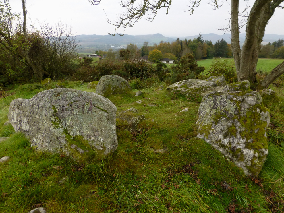
The outer chamber. The inner chamber has the tree growing from it on the right.

Massive lintel (almost 2m long) separating the passage from the outer chamber (behind).

Presumed clearance marks the southern edge of the mound.
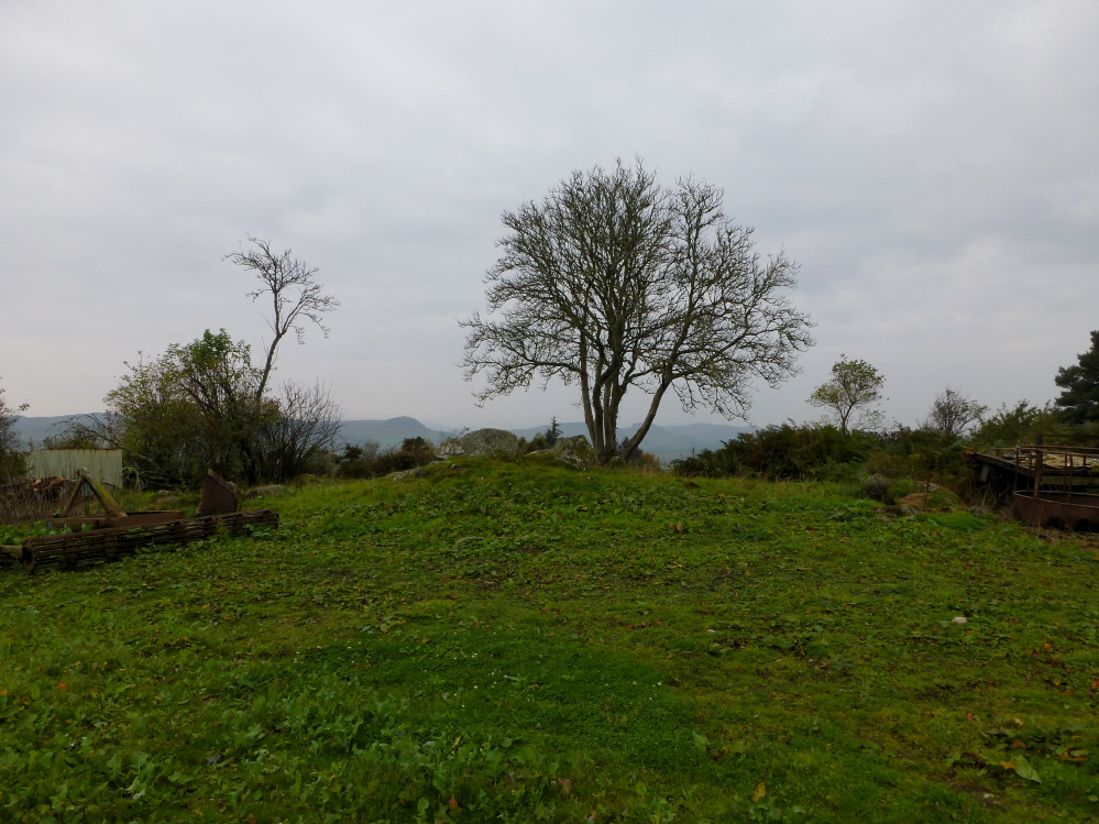
The surrounding mound was quite sizeable at one time. Looking SW.

1m tall orthostat on the northern side of the chamber.

The northern side of the chamber.

The chamber from its western end. It’s aligned along the contour, with the ground dropping to the north.

Despite my best bracken-flattening efforts, the orthostats resolutely refused to emerge properly.

Looking WNW across the chamber. The dimly seen peak in the distance is Ben Wyvis, the biggest mountain in this area by some margin.

The approach to the overgrown chamber, under the trees. The ground slopes away to Strathconon.
If you like your chambered cairns obscure, this one’s for you. From Canmore:
This Orkney-Cromarty, Polygonal, round chambered cairn, truncated by a field wall, has had almost all the cairn material removed – though an indefinite edge can be traced for about 30 ft. from the chamber on the S. and W.
Nine stones remain of the chamber, whose entrance was in the E, and of these 5 represent what was formerly 3 pairs of transverse slabs spaced 3-5 feet apart and probably indicating a very short passage and ante chamber.
The main chamber, once oval and about 11 ft x 7 1/2 ft, is represented by only 4 slabs 1ft 9ins. to 3 ft. high – rather taller than the transverse slabs.


Conglomerate stone on the northern arc of the circle.


Stones of the NE arc of the stone circle.


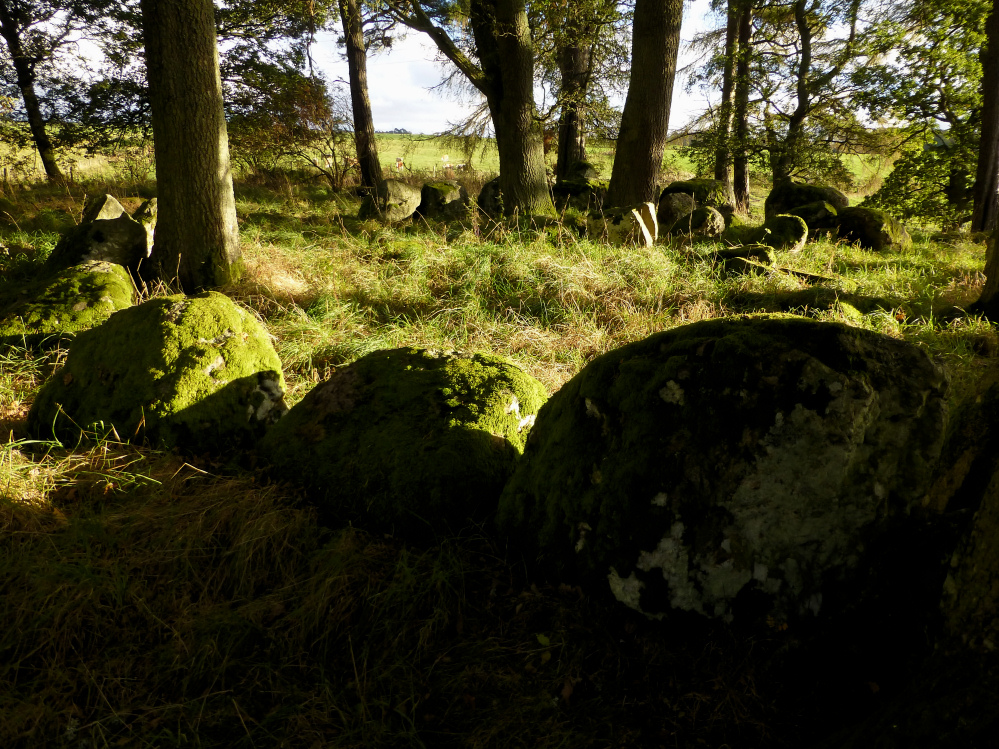
Detail of the beautifully graded kerb.

SE arc of the surrounding stone circle.


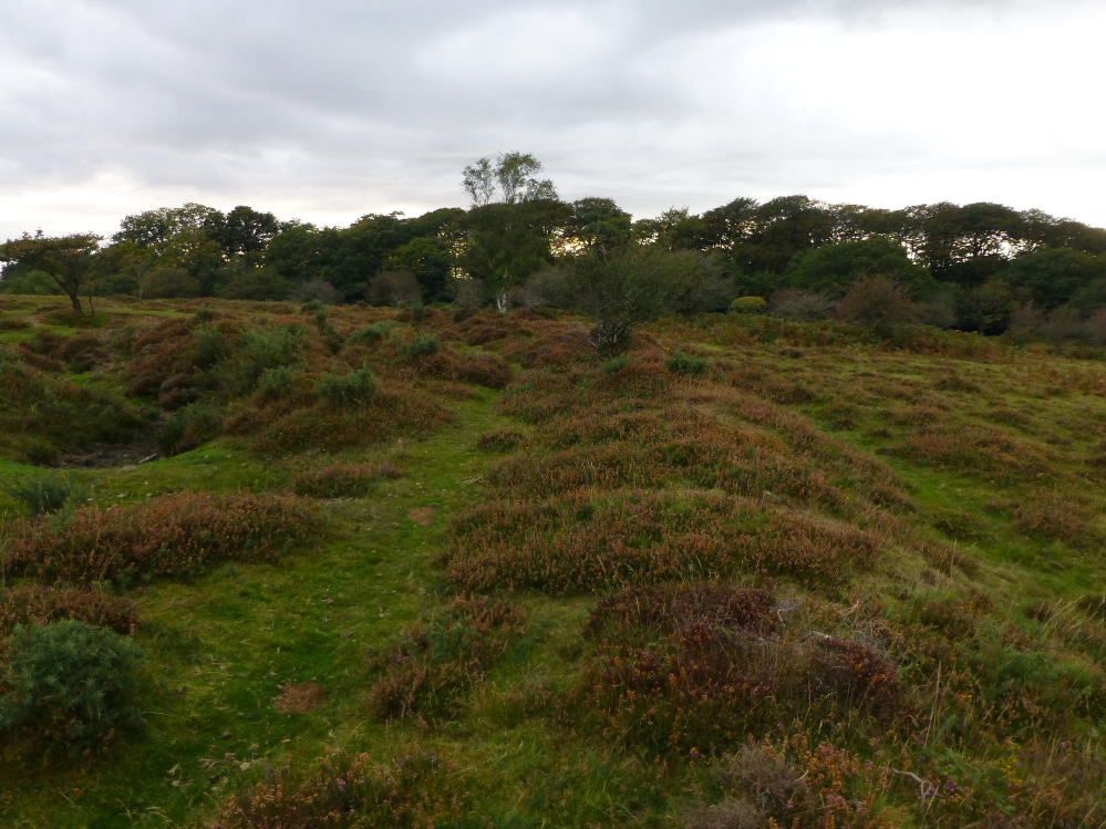
The southern arc of the inner earthwork.


The best-preserved section of the outer bank, on the west of the site.


Big stone built into the bridge (see misc. post).

Some more of the “cupmarks” on the stone across the field.

Detail of some of the possible cupmarks, which are large, deep and quite irregular.

The maybe fallen, maybe cupmarked stone down the field from the chambers (visible top left).

The northwestern chamber, facing towards Dinas Island. The “cupmarked” stone can be seen across the field to the left.

The northern chamber – huge capstone, tiny orthostats. This one looks more like the semi-earthfast tombs around St David’s and Strumble Head.

The eastern chamber, the only one missing its capstone.

A bit more overgrown than some of the recent pictures show.

Dismounted capstone in front of its chamber.

Looking NW, with Dinas “Island” beyond.
In “Prehistoric Preseli – a field guide” (2001 Atelier Productions) NP Figgis mentions the missing capstone from the eastern chamber is “known to have been used for a bridge”.
At the western end of the Cerrig y Gof field is a stream, and the road crosses it over a small bridge with an interesting name: Pont Heb Wybod (“bridge without knowledge”). Dyfed HER pages mention that it was recorded earlier as Pont y Wibod (“bridge of knowledge”)!
Anyway, there are lots of stones next to the bank of the stream, including one large slab. Potentially of more interest though is a further slab built into the embankment next to the bridge structure. Could this have been the missing capstone?


The thatch on the larger houses extends almost to the ground.


Complex roof structure inside one of the larger houses.

Posts mark the position of further roundhouses.

The inner bank curving towards an entrance (original?) into the settlement.
