
The disturbed chamber, divided into separate sections by portal stones.
Image credit: A. Brookes (14.10.2014)

The disturbed chamber, divided into separate sections by portal stones.

The centre of the monument, looking towards Beauly Firth.

The massive diameter of the cairn, looking SE.

The massive SE cairn with the NW cairn far right.


The SE cairn. Beauly Firth away to the right.


Looking towards the SE cairn (under the trees) from the NW cairn.

Some visible stonework in the mound of the NW cairn.


Mains of Kilcoy cairns from the west. The NW cairn is centre of shot, the SE cairn under the clump of trees far right.


Pointed orthostat in the chamber of Kilcoy North.

Looking across the chamber of Kilcoy North to Kilcoy South and the Beauly Firth.


The ground slopes gently away from Kilcoy South down to the lovely Beauly Firth.


Massive lintel or roofing slab on the Kilcoy South chamber.

The ESE elements of the chamber of Kilcoy South. The hill top left is Ord Hill, a stone-ramparted hillfort prominently seen from many places around.

The exposed WNW elements of the chambers in Kilcoy South. The drystone wall incorporates one of the orthostats.

Kilcoy South, crossed by a drystone wall.

Outer kerb. Presumably, as at other Clava cairns, the kerb was originally continuous.

The inner kerb, marking the outline of the original central chamber.

Stones of the collapsed passage, with swirling veins and nodules of quartz.

The partially collapsed entrance passage.


The western arc of the surrounding stone circle.

The site appears to be much clearer than when Greywether visited.

The Clava cairn. The infill of the mound is gone, leaving skeletal kerbs and passage – plenty to enjoy though.

The tallest of the remaining uprights in the circle, on the SE.

The two biggest stones of the surrounding circle. The farmer told us he had considered getting the fallen stone put back up.


Small slab exposed at the northern end of the mound.


Trees have been planted on the mound, which seem likely to cause damage at some point. Ben Wyvis is the mountain on the left skyline, visible from most of the monuments in this area.

The southern end of the cairn. Some of the loose material is likely to be field clearance.


The cairn has decent views for its relatively low setting.
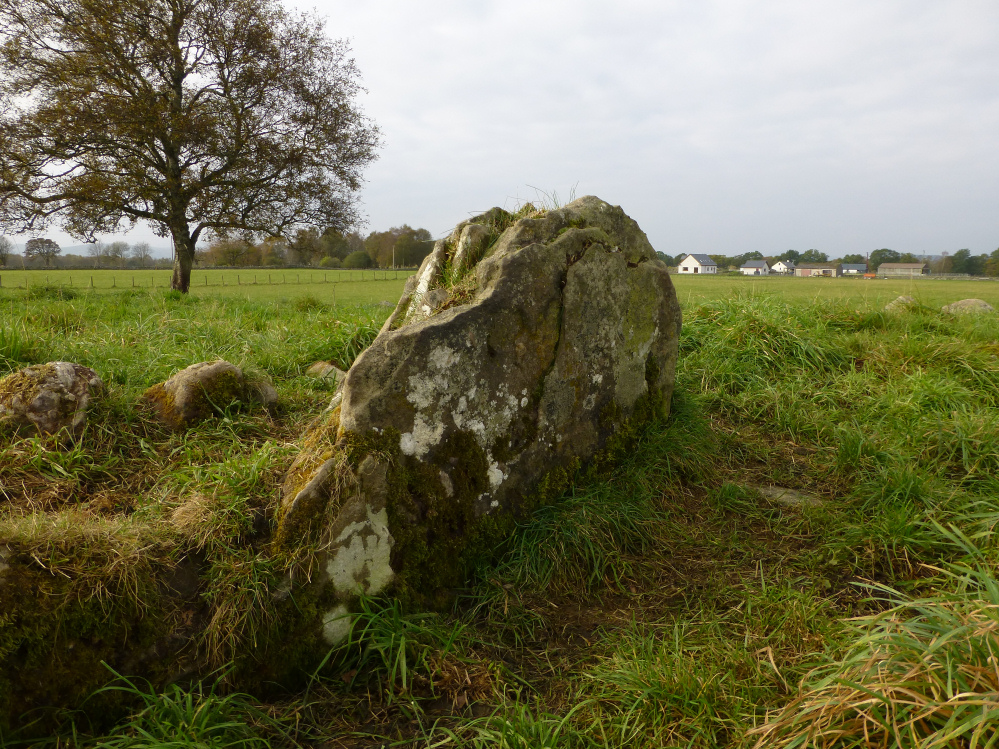
The single slab of the “chamber”. If fully exposed it would be 1m tall and 1.7m long. The elements are unfortunately taking their toll on the sandstone though.

Out of sight beyond the trees (left of centre) is Muir of Conan chambered cairn.

Looking NW across the “chamber” towards Ben Wyvis.
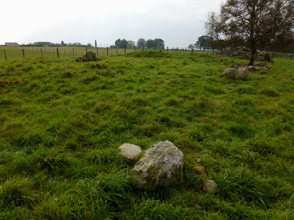
Looking south. The long rubble bank can be seen in the background.
The telescope-shaped tower commemorates Sir Hector MacDonald (“Fighting Mac”), a crofter’s son who joined the army as a private in 1870 and died an enormously decorated Major General in 1903. That’ll be a warrior chief’s monument I guess.

Looking NE across the cairn. Behind the camera is a long bank of stones and rubble which comes up to the edge of the cairn.

Seen from the ESE. Not really visible on this grey autumn morning, but the massive bulk of Ben Wyvis fills the backdrop.


Looking north. The lower parts of the visible orthostats are buried in the mound.

The substantial boulder on the edge of the cairn appears to be clearance and isn’t shown on Henshall’s plan.

Looking SE-ish across the chamber. The Beauly Firth, lying between the cairn and the skyline hills, is not visible from here.