


A wide expanse of limestone is exposed below the fort at low tide. Looking towards Worm’s Head.

The inner rampart (the outer rampart is under the gorse along this middle section).


The outer rampart, with the inner rampart beyond.


Twin tunnels inside the cave mouth.

The entrance to Red Chamber East.
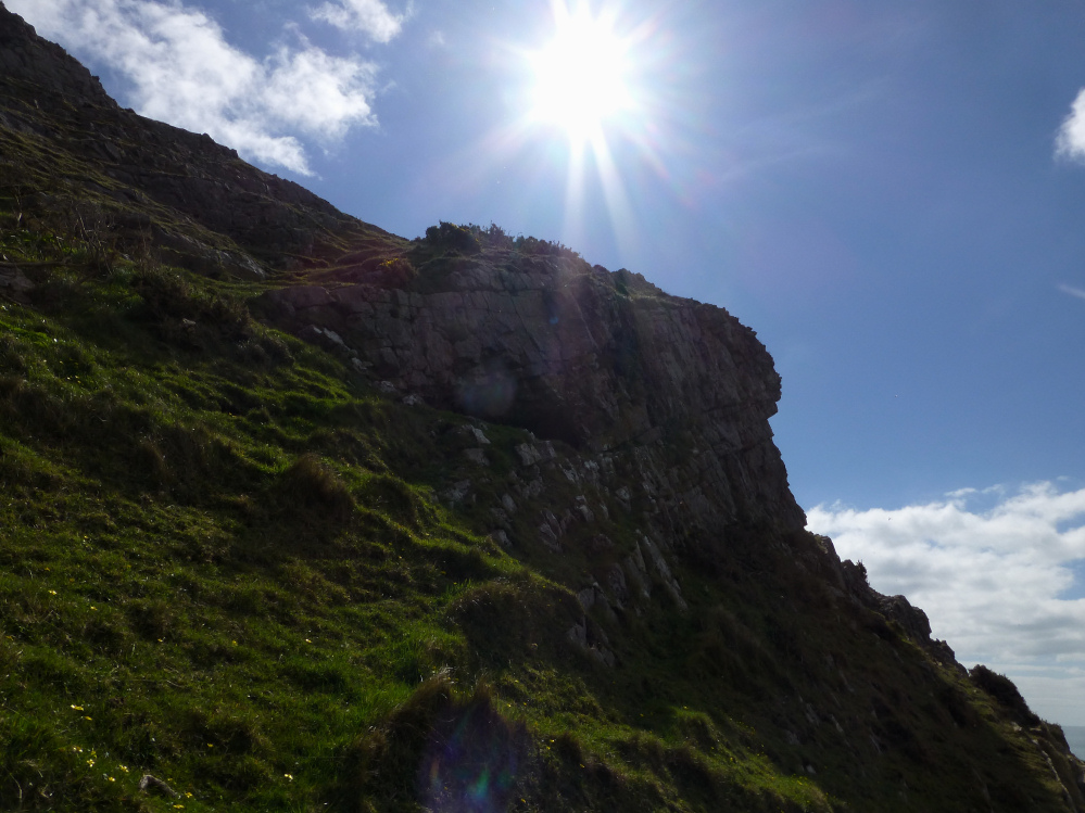
Looking up at Red Chamber East cave in its cliff face setting.

I’m kicking myself over this one. The opening on the cliff face opposite is Red Fescue Hole, but I didn’t realise this at the time.
The viewpoint is Red Chamber East cave.

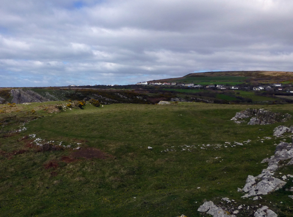
We came across this wide circular feature to the east of Thurba Camp. There’s nothing on Coflien or Archwilio.


The tip of the promontory from the inner bank. G/F provides scale.

Looking down into Mewslade, the valley to the west of the fort. Rhossili Down rises beyond.
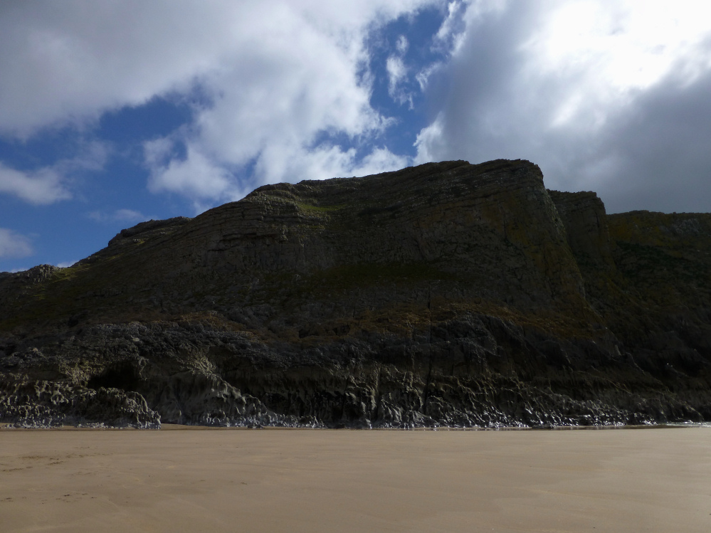
Not the easiest means of approach. The fort occupies the cliff top.

Thurba Camp from below – low tide, Mewslade Bay.

As well as the three small caves we visited, there is another one in the cliff face below the prominent outcrop on the clifftop ahead. The limestone bedrock of the beach has eroded into sharp crests and points.
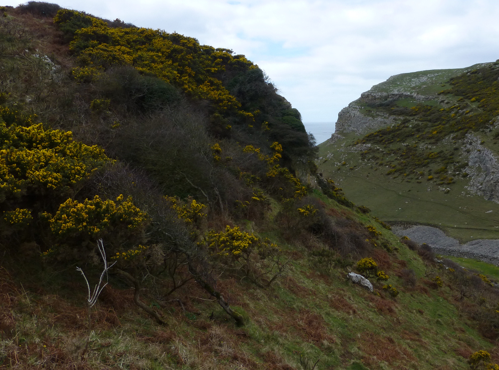
The three caves at SS42198724 are below the gorse line. They all face away from the sea.

The righthand/western of the two lower entrances at SS42198724. This is the smallest entrance of the three in this part of the cliff.

The uppermost of the three entrances at SS42198724. Taller than the others, it would be a tight squeeze to get into (I didn’t try).

The lefthand/eastern of the three small cave entrances at SS42198724.

The lefthand/eastern of the two lower entrances at SS42198724.

The two lower cave entrances at SS42218724. There is another cave above, hidden by the bushes top left.

The fort occupies the flat-topped cliff, centre of image. Seen from Mewslade Bay.
What is entirely certain though, is the massive Cefn Coch (“Red Ridge”) cairn. It would be impressive anywhere, but what sets it apart from comparable sites is the stunning backdrop of the Carneddau.
Turning its face resolutely from the sea hidden behind a ridge to the north, the cairn unquestionably looks inland towards the mountains. The very highest peaks of the range are hidden from here, but the skyline is filled with an array of summits all well above the 2000ft mark, several of which boast contemporary monuments.
It’s a breathtaking sight and we sit in awe for quite a while.
Having singularly failed to realise we’d missed Circle 278, we continue west along the main track. Cors y Carneddau circle is supposedly on the north side of the track. Surely this should be easy to find?
Well, no. Part of the problem lies in the fact that there are quite of lot of random stones in the grass here. Which ones do you choose?
Eventually we decide that a group quite near to the drystone wall, just east of a corner, is the best bet. There are at least four stones in a sort-of arc, with a couple of additional possibles close by. But I could be persuaded otherwise…
Blossom has Frances Lynch’s excellent Gwynedd guide with her and we have a quick look to see what else there is around here. The prominent jumble of upright stones visible to the west is the most obvious place to head next. Unfortunately we don’t realise that Circle 278 is hidden away over a little crest and miss it completely. Drat.
Monument 280 (these numbers suggest a spectacular profusion of other sites crowding around us) is very difficult to get a handle on, even when you’re standing in its midst. A row of four uprights run north-south across the monument, while on the west an apparent kerb forms its edge. Shapes and patterns can be discerned, but are contradicted by other patterns. Truly an enigma.
It’s not much more of a pull upwards to reach the circle. There’s no-one else about so I can savour this beauty properly. The setting is as good as any stone circle I’ve been to, particularly on such a wondrous summer’s day. The sea to the north, the high peaks of the Carneddau mountains to the south. It’s a bit special this.
The stones are big, certainly bigger than you’d find in many Welsh circles. Each has character and there are veins of quartz here and there. Although some of the stones have fallen, it doesn’t detract from the overall impression.
Mountains, stones, silence, sea and sky.
I could write a few pages of superlatives, but really you should come and see for yourself. In the meantime, we have some lunch and take it all in.
It’s a further steady slog of a climb up from Maen Crwn, and the excitement levels really ramp up from here on. Druid’s Circle is already visible on the skyline above, but it’s still worth restraining the urge to get there for a while with a pause at this lovely little circle.
Like something someone might build around a campfire, a simple ring of smooth stones, with a wonderful sea view. The dogs are very taken, sniffing around the inside of the ring. If it weren’t for the fact that the Big Attraction is so visibly close, it would be easy to stop here for a good while.
But we don’t.
After passing Red Farm stone circle without a proper look, the impressive boulder of Maen Crwn is the first proper stop on the walk up towards the Druid’s Circle.
Set in the V of a valley between higher hills, the long views are restricted. But it feels like a stone-on-the-way-to-somewhere stone, the kind you often find marking your path in upland Wales when on the way to exciting destinations. And given what waits above, it certainly performs that function beautifully.
The pull of the circles is too much to linger though...


A summer visit would be challenging; myriad bramble tentacles lurk beneath the bracken.


Looking towards the highest point of Cefn Bryn, roughly along the route we came down – there’s some intervening boggy ground.

The chamber from the east. Credit to Andypebble and friend for flattening the bracken around it, which made it much easier to see than it might have been.

Looking down on the interior of the fort from Cefn Bryn. That’s Exmoor across the Bristol Channel on the horizon.

Oxwich Point from Cefn Bryn. The fort is in the trees at the top of the cliffs, further out than the low tide line.

The western Beacon. A large shelter has been built below the outcrop, but it’s not clear whether there was a cairn here or just natural outcropping. The wide sweep of Oxwich Bay lies below.

The eastern Beacon. The renowned Three Cliffs Bay, one of the Gower’s most famous beauty spots, can be seen over to the right.

Cefn Bryn Beacons. Coflein suggests that each outcrop has a cairn, although GGAT are unusually silent. This is the western Beacon.
