Looking south west. If you could see through the trees and the contours of the hill, you’d be looking roughly at King Arthur’s Hall. Louden stone circle is on the hill on the far right skyline, just left of the white ribbon of track.
The settlement occupies much of the ground between here and the steeper slopes of Rough Tor itself.
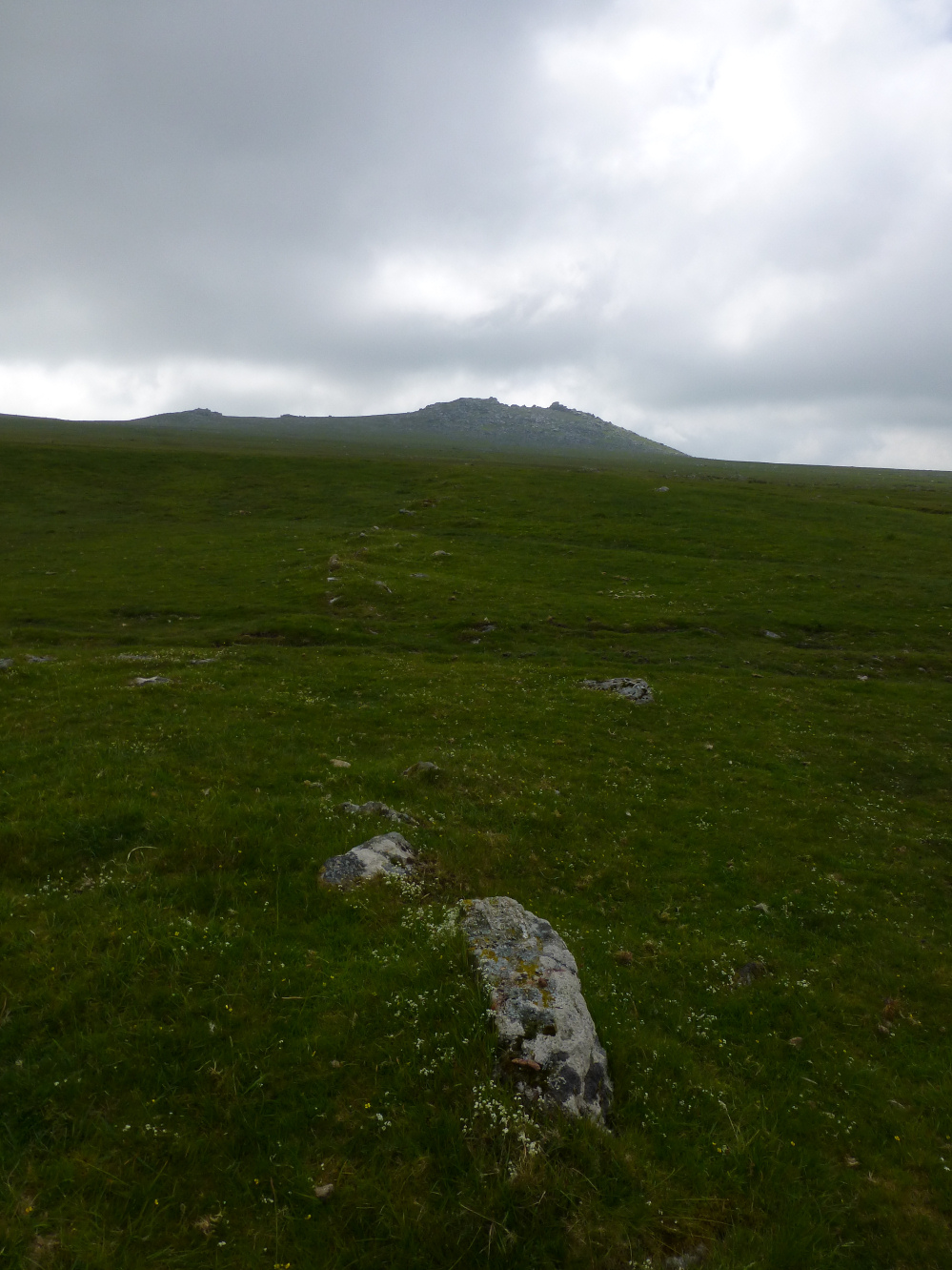
Linear feature along the southeast of the settlement, looking towards Louden Hill.
Curving enclosure wall.
Looking across the southern cairn towards the summit. The summit cairn is not visible due to the intervening outcrop.
Looking from the southern cairn towards Roughtor.
The summit cairn from the south. Showery Tor can just be made out on the left skyline.
I wasn’t really prepared for the size of the summit cairn. Seriously impressive.
Looking SW from the summit cairn towards Garrow Tor.
Looking east from the summit cairn. Is that Dartmoor on the skyline?
Arriving at the summit cairn from the north.
Seen from the northwest as the morning’s cloud lifts.
Looking over the eastern flank of Roughtor towards Brown Willy. The tor enclosure is less well-defined on this side.
Multiple lines of stone ramparts on the western side of the tor enclosure. Showery Tor with its excellent ring cairn encircling the summit rock stack is illuminated as the sun starts to break through.
Looking west across the stone rampart of the tor enclosure.
Looking north towards Showery Tor and Little Rough Tor from the western line of the tor enclosure.
Stone ramparts on the western side of the tor enclosure.
The granite stack inside the ring cairn. To me, its swept back lines convey a sense of dynamic motion.
The bank of the ring cairn can be seen on the left.
The ring cairn framed between Brown Willy and Little Roughtor.
A superb ring cairn built around wonderful natural sculpture, with jagged Roughtor beyond.
Looking south towards Showery Tor, framed by the two highest hills in Cornwall, Brown Willy and Roughtor.
Looking across the cairn towards Brown Willy.
Arrangement of stones towards the southwestern edge of the mound. These may be suggestive of something structural, like a secondary inhumation. Or not.
Detail of stones in the retaining kerb or circle.
An apparent retaining circle or kerb can be seen on the northern arc of the cairn. There is also an odd linear arrangement of blocks running out from the centre of the cairn.
Much disturbed but still impressive. Looking north towards Crowdy Reservoir and Roughtor Plantation.
Looking SW towards Stannon.
With Showery Tor and Roughtor on the skyline.
Neat little round cairn at the highest part of the group, almost up on top of the ridge.
Looking west, presumably from stock. Erosion is going to fully topple the stone before long.
Looking towards Showery Tor.
The almost fallen stone, looking towards Roughtor.
Much-disturbed round cairn in the extensive group.
Linear field boundary adjacent to the cairn cemetery. Looking towards Roughtor.
Take away the sea, this could be the Wiltshire downs.
Concrete plug in the top of the southwestern barrow. I’m not sure whether this was just to fill a hole or the remains of something else.