
Another of the smaller cairns in the group at SX 24747545, this one with an excavated centre. Looking towards Kilmar Tor.
Image credit: A. Brookes (23.6.2016)

Another of the smaller cairns in the group at SX 24747545, this one with an excavated centre. Looking towards Kilmar Tor.

Small cairn at SX 24777547, possibly clearance rather than sepulchral. The most prominent cairn of this group is silhouetted against the sky beyond.

The large cairn at SX 24797548 has a well-defined bank around its circumference. Unless it’s been substantially robbed, it appears to be a ring cairn.

Large but low (15m diameter but less than 1m high) cairn at SX24797548, part of a closely-spaced group immediately to the south of the track to Trewortha.


From the southeast the cairn looks relatively intact. Trewortha Tor beyond.

Looking northeast towards Hawk’s Tor (left) and Bowdanoddon Wood.

The cairn itself has been badly damaged, leaving just the southern arc, but the cist is superb. Looking towards Kilmar Tor. The dismounted cover stone lies to the right.

The small cairn at SX 25117558. Looking south towards Kilmar Tor. The other cairns in the spread-out cemetery occupy the slopes below the granite outcrops.

Low remains of a small cairn at SX 25117558, possibly containing a damaged cist. Looking northeast towards Hawk’s Tor.

Hawk’s Tor from Noddon Lane to the south. The facing slopes below the rocky outcrop are the site of an extensive prehistoric settlement. Hawk’s Tor itself is one of the last upland bastions of the northeastern edge of the moor, which drops away to the Withey Brook valley.

Another view of the fine Noddon Lane stone.

Standing stone at approx. SX259759, in the raised verge on Noddon Lane to the northeast of the cairn cemetery and an obvious route onto the moor between the Kilmar and Hawk’s Tors. No obvious sign that it’s been a gatepost. No idea if it’s prehistoric but it’s nice, about 6 feet tall, tapering and very broad at the base. Any info welcome.

The outflow from the wellspring, which runs over the cliff edge and down to Porth Kidney Sands below.


Numerous clouties (many sadly not biodegradable) above the well.
This is a wishing-well of some note in the
district; people even now go there to drop in
crooked pins, and wish. It is only a square hole
in the ground high up on the cliffs, at the base of
an overhanging rock, situated at the end of a nut
grove; a stream runs along the side, and a little of
it flows into the well by a gutter.
From “Ancient and Holy Wells of Cornwall” – M&L Quiller-Couch (1894).

The hillfort occupies the crown of the hill, centre skyline. On the eastern slopes – on the right in the image – are two Iron Age rounds.

Ditch of the Iron Age round to the northeast of the hillfort.

The inner face of the bank of the Iron Age round to the northeast of the hillfort.

The bank of the Iron Age round to the northeast of the hillfort.

The outer rampart, covered in bracken, slopes downhill from centre left. Looking northeast towards Carn Brea and Carnmenellis.


The Germoe parish war memorial surmounts the rampart. The views towards Mounts Bay and West Penwith are extensive – St Michael’s Mount can be seen in the middle distance, far right of shot.

The inevitable shelter built from the stones of the rampart.

Looking down on the outer rampart from the inner. The hill in the background is Godolphin Hill.

Exposed stonework of the inner rampart on the west side of the fort.

The bank and ditch at the south of the fort.

Mossy kerbstone on the west of the cairn.
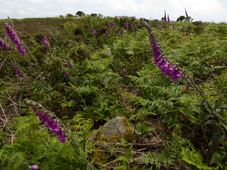
Midsummer foxgloves, bracken and a sprinkling of gorse cover the cairn and obscure the kerb. A winter visit would probably be a better bet, but it’s prettier now.

Kerb on the eastern side of the cairn. Castle Pencaire centre skyline, with the hills of West Penwith emerging from the rain on the far left skyline.

Looking northeast across the cairn. The prominent hill on the centre skyline is Carnmenellis, topped with a substantial Bronze Age cairn.

An exposed quartz vein forms one of the faces of the large granite block inside the cairn.
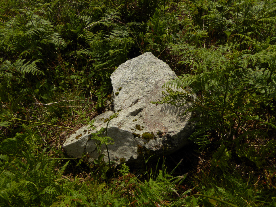
Substantial granite block inside the perimeter of the cairn.

The southern arc of the cairn, kerb stone in the foreground, quartz-veined block inside the kerb over to the left.

Looking across the edge of the kerb towards Castle Pencaire hillfort.
Astronomers are exploring what might be described as the first astronomical observing tool, potentially used by prehistoric humans 6,000 years ago. They suggest that the long, narrow entrance passages to ancient stone, or ‘megalithic’, tombs may have enhanced what early human cultures could see in the night sky, an effect that could have been interpreted as the ancestors granting special power to the initiated.
Full story:

The barrow would be approx. centre skyline.

Nope, me neither.
There isn’t any obvious sign that the barrow is avoided when the field is ploughed and planted, but clearly June isn’t the time to visit.


