
The houses are built from the plentiful clitter covering the slopes of the Mis Tors. This one uses longer slabs than some of the others.
Image credit: A. Brookes (23.1.2017)

The houses are built from the plentiful clitter covering the slopes of the Mis Tors. This one uses longer slabs than some of the others.

One of the best houses in the entire site, in the southern settlement group.

Smaller round house in the southern settlement. Several have their door jambs still in situ like this.

Another of the excellent round houses in the northern settlement, the walls still standing two or three courses high. Looking across the valley to Roos Tor.

Superb round house at the very north of the northern settlement, just outside the enclosure boundary.

Prominent White Tor seen from the outcrops of Great Mis Tor to the southeast, across the Walkham valley.

Landscape context for the cairns, on the summit of the broad-backed hill, centre. White Tor rises beyond, on the right, the upper valley of the River Walkham below. Seen from Great Mis Tor.

A fleeting patch of blue sky, as I sit inside the enclosure. This place feels remote today.

Thick wall of the circular enclosure.

Large circular stonebuilt enclosure to the southwest of the hutcircles.

The settlement is right on the geological boundary between the old red sandstones of Fan Gyhirych and the limestone of Carreg Cadno to the south. Looking from the site towards Carreg Cadno (“Stone of the Fox”).

Small circle, which may be a hut circle but isn’t one of the two shown on the CPAT SMR.

Approaching the Pwll Byfre settlement (in front of the treeline) from the north.

There are fine views to the west and northwest down to the valley.

Looking southeast up the slopes of Fan Bwlch Cwyth.


Looking east-northeast.

This one plays hide and seek in the reedy grasses.

Looking northeast, as fleeting sun catches the snow across the valley.

The central cist, after a bit of snow clearance.

Looking WSW, towards Waun Leuci – the Cerrig Duon/Maen Mawr sites are over the other side of that.

The cairn as first encountered, looking southeast up the slopes of Fan Bwlch Chwyth. It wasn’t the easiest thing to spot in the snow!

The fort/enclosure is on the spur on the far right of shot, with the dark band of trees underneath it. It is separated from the broad moorland of Fforest Fach by the glacial valley of Cwm Treweryn.

The only view of Fan Gyhirych of the day, by the time I got close the mist and rain had reduced visibility to nothing much. Seen from the minor road to the north. Waun Leuci/Cefn Cul (cairns and standing stone) on the right.
Lots of paperwork here:
highwaysengland.citizenspace.com/cip/a303-stonehenge/
CPAT description of the stone:
Standing stone, comprising a sandstone slab 0.8m high x 0.5m x 0.15m, aligned NNE-SSW, leaning slightly to the ENE,and with an area of sheep scour around its base on that side. On its WNW side is a recumbent slab of limestone which does not appear to have ever been erect, and may well be natural. The standing stone is sited on a west-facing slope, with views to west and north-west.
A tunnel is to be built under Stonehenge under plans announced by ministers, in a move that will reignite the controversy over improving major roads around the ancient site.
Chris Grayling said he was taking a “big decision” to transform the A303, one of the main arteries to the south-west and a notorious bottleneck for lorries and holidaymakers, as part of a £2bn investment.
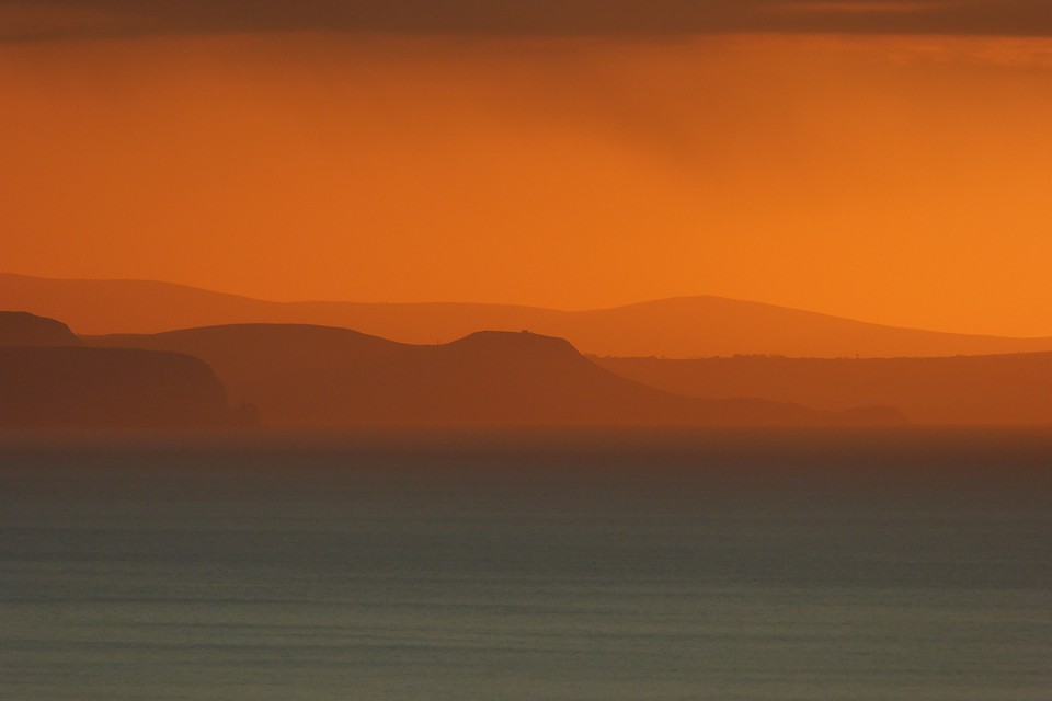
Pendinas Lochtyn seen from its distant namesake, Pendinas near Aberystwyth. The hill rising behind is the even more distant Mynydd Carningli in Pembrokeshire.

New Year sunset, looking down the Ceredigion coastline from the fort. The dark headland to the left of centre is Pendinas Lochtyn fort. Far beyond that are the Preseli hills in Pembrokeshire.

The western defences, looking towards Aberystwyth.

Looking across the southern ramparts towards a snowy Pumlumon.


The steep slopes on the western side of the fort.

Looking west along the Nant Paith valley towards Aberystwyth and the sea.

The ground dropping steeply away on the southwest of the fort.


Standing on the bank of the northern rampart, looking down on the ditch. The white topped post marks a trail up and through the fort from the west, which needless to say I knew nothing about as I hacked my way up through the trees from the south.

The centre of the fort interior, the only part that isn’t quite overgrown.

Fairly slight bank on the south side of the fort. The steep natural slope does the rest – I don’t recommend coming up the way I did!

The stone has been in the wars, trimmed and dressed, but obviously broken into pieces at some point as well.

The top of the stone has a beautifully eroded hollow, filled with ice today.

First site visit of 2017, a frosty Llanbadarn Fawr. Look at the thickness on that.

Uncredited aerial photo of Pendinas from the north, part of a display in Llanbadarn Fawr church.
According to tradition it was originally a megalithic dolmen about 4000 years old. It has served mainly as a small platform used by preachers, the Parish Clerk and others to make public announcements. In the past there was a large tree in front of it on which were nailed fox tails and the corpses of other creatures which preyed on chickens.
Charming local customs abound. Taken from the village information board near the stone.

The final site visit of 2016.

Looking down the field to Lower Swell long barrow at dusk.

Watching the winter sun set from the barrow.
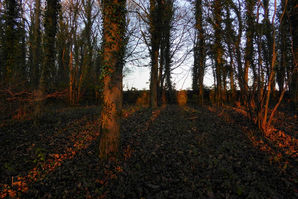
Not much of a barrow, but a nice spot in the trees.

Cow Common from the southeast, with the long barrow inside its new fence, centre.
