
The barrow’s knackered northwestern profile.
Image credit: A. Brookes (17.6.2019)

The barrow’s knackered northwestern profile.

Looking SSW towards the mouth of the River Hayle.

Looking southwest across St Ives Bay towards West Penwith.


The barrow in its cliff-top location.

The eroded side of the barrow, above the sheer cliff.


Looking across the top of the barrow towards The Knavocks.


Seven years on from my last visit, the barrow is still there but the fence is gone.


The inner bank, looking WSW towards The Knavocks and West Penwith.


Well-preserved bank on the western side.

The less-prominent southern arc of the bank.

The interior.

The northwestern corner.

On the northern bank.

The northern bank.

The “mound” to the west of the long barrow.

The “mound” to the west of the long barrow and WNW of the round barrow. It looks like a fair contender for a round barrow but there is doubt about this.

The round barrow to the south of the long barrow.

The western end of the long barrow.

Reverse of the previous image, looking towards the eastern mound along the back of the long barrow.

Looking west along the back of the long barrow towards the remaining mound at the western end. Theoretically this central part of the monument should be as high as that.

Looking from the eastern end of the barrow towards the western end. The flatter area between the two mounds is where the original line of the barrow ran.

Detail of the mound at the eastern end of the barrow. There’s quite a bit of broken stone in the mix. The supposition is that it was made from earth and stone piled up from the centre section of the barrow, leaving mounds at each end.

The massive mound at the eastern end of the long barrow.


After a bit of judicious nettle trampling.

Summer nettles surround the Hoar Stone.

From the northwest.

From the footpath to the southeast.

The fenced-off Welsh Way section.

Cutham Lane section.

Standing on top of the bank, Cutham Lane.

Impressive bank towards the southern end of the Cutham Lane section.
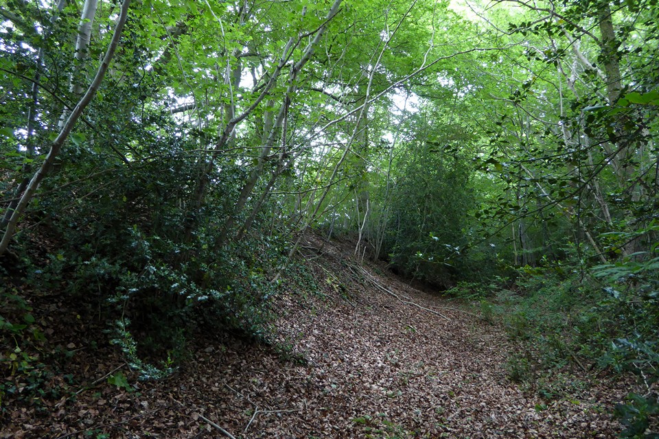
Looking north along the Cutham Lane section.

Ivy-covered section on Cutham Lane.


Looking down on the Churn valley from the west end of the mound.


