
The southwestern arc of the eastern circle. The summit of Roughtor peeks over the skyline, left, while Garrow Tor hides Brown Willy to the right.
Image credit: A. Brookes (20.6.2019)

The southwestern arc of the eastern circle. The summit of Roughtor peeks over the skyline, left, while Garrow Tor hides Brown Willy to the right.

The eastern circle from the northeast. The lighter thing in the foreground is a cow pat not a stone, although it’s pretty much on the lost arc.

Looking across the eastern circle from the one remaining stone on the northeastern arc.

The fallen southwestern arc of the eastern circle, with the western circle beyond.


Triangular stone in the western circle.

Stones still standing in the northern arc of the western circle.


The enclosure from the northern bank.


Stones at the northeastern corner.


The enclosure from the southern bank.

Looking northeast towards Roughtor and Brown Willy.


The cairn at SX 11607782, looking northeast towards Roughtor and Brown Willy.

The cairn at SX 11607782, looking southwest. The distant hills on the left skyline are the downs above St Austell, including Hensbarrow.

The cairn at SX 11607782 with upright kerb stones.

Some landscape context from the south, for idiots like me who’ve walked right past this. The cairn circle is next to the ruins, prominently located on top of the headland. Kenidjack Castle cliff fort is below to the left.

Looking across the cairn. There’s a smaller kerbstone in the foreground.

There’s more stonework hidden underneath the brambles.
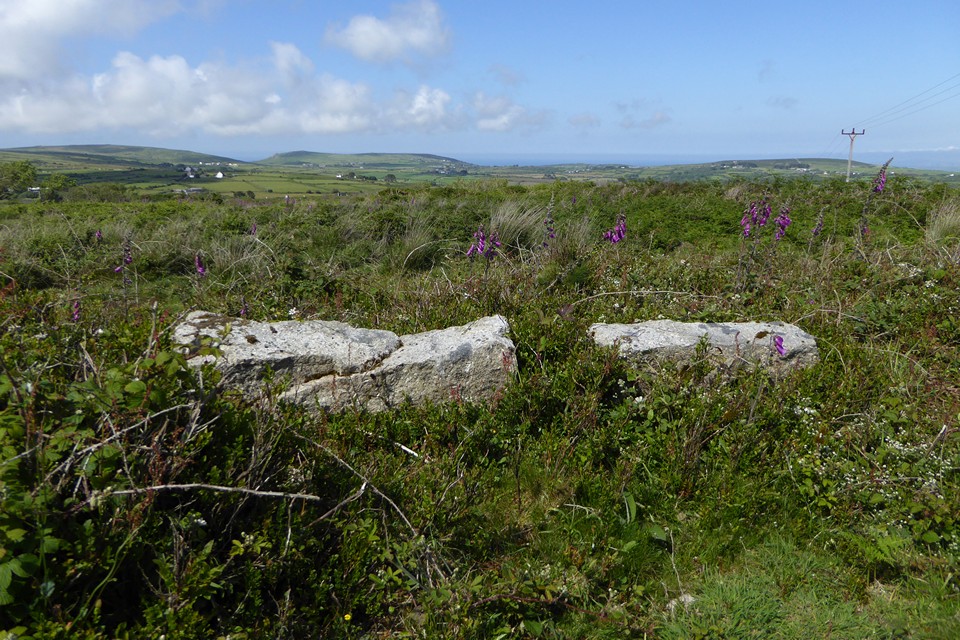

The outer face of the kerb, with what’s left of the mound behind.


Model of House 6.

The blocked fogou.

The entrance to partially-cleared House 1.

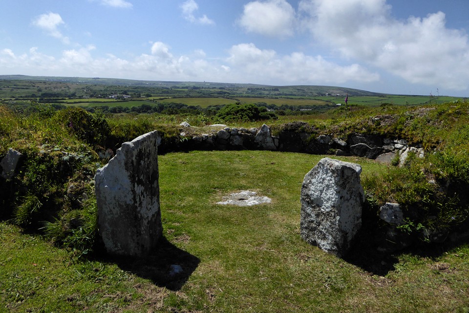
Looking across the round room of House 5 towards the West Penwith moors. Ding Dong engine house is just left of centre, the hill on the right is Mulfra Hill – the Quoit is visible from here.

Hearth (left) and hollowed stone (right) in the round room of House 6.


Looking towards Boskednan and Ding Dong.

The settlement walls are quite overgrown at the moment. Mount’s Bay is far left.

Part of the site is hidden beneath the hawthorns.


Looking towards Carn Galva across Mulfra Hill B.

Looking SW across Mulfra Hill B. Ding Dong engine house is on the skyline, far right.

Quartz vein in one of the Mulfra Hill B kerbstones.

Fine retaining kerb of Mulfra Hill B.

Mulfra Hill B, now cleared of vegetation with the kerb properly revealed.
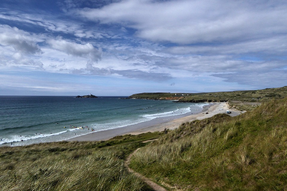
Landscape context: Godrevy Point from Gwithian Towans. The barrow is on the headland, centre of image.
