
The steep slopes on the northwestern side.
Image credit: A. Brookes (21.9.2019)

The steep slopes on the northwestern side.


Looking southeast from the settlement. The wooded hill is Norton Camp just the other side of Craven Arms.

The hilltop settlement from the southwest.
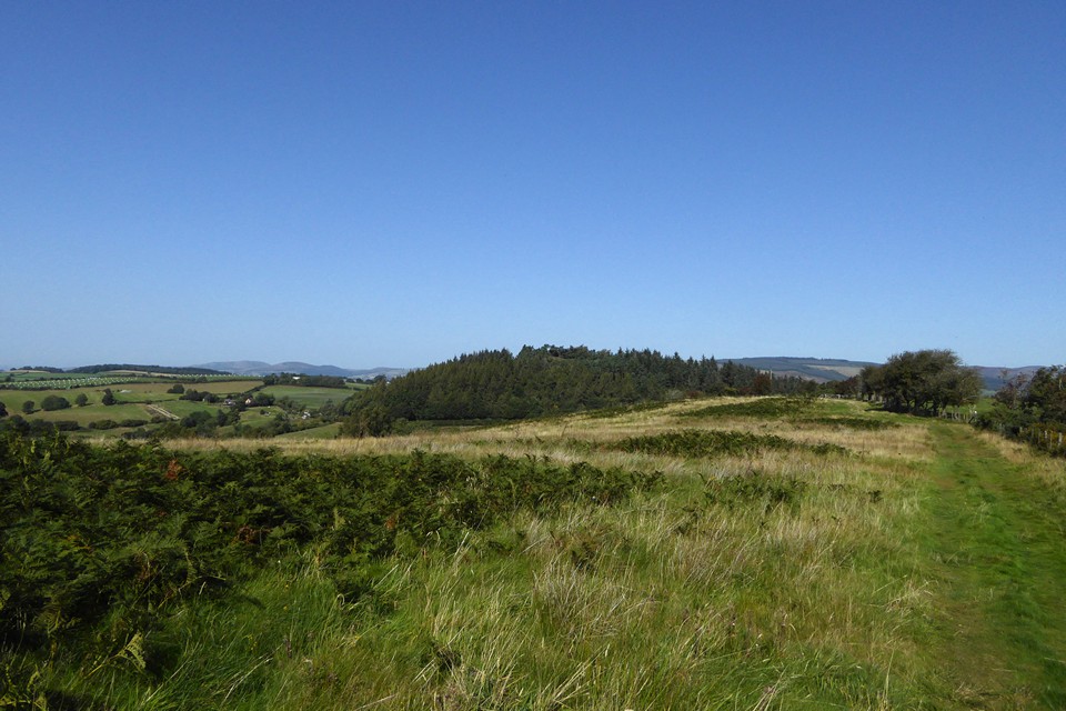
Wooded Wart Hill (centre) from Hopesay Hill to the south. Over to distant left are Corndon Hill and Heath Mynd, straddling the border between England and Wales.

The site of the summit barrow, looking towards Caer Caradoc.

The cairn marking the site of the summit barrow. The Ordnance Survey bolt (see Misc post) is bottom right. Looking towards Pole Bank, the Long Mynd’s summit.


Looking southeast off the northern barrow. The Clee hills (Brown Clee left; Titterstone Clee right) form the skyline backdrop.


Looking over south Shropshire towards Herefordshire across the southern barrow.


The approach to Grindle from Little Stretton, up Small Batch. Grindle is centre skyline, the barrows are just to the left.

Caer Caradoc rises far left over Church Stretton with The Lawley behind. Seen from Small Batch above Little Stretton to the southwest.

Pre-dawn Kemerton Camp through the train window.

Pre-dawn Nottingham Hill rises above the mist from the valley. From the train window.

Whether or not there are any traces of Iron Age predecessors, in their location the medieval earthworks are classic promontory defences.


Looking towards the river Tyne and South Shields.

The promontory across Short Sands from the north.

Cupmark on top of the bluestone at the front of the pub. If this is indeed a replica, it’s nice that they did the cupmark.


The bluestone in front of the pub.


The stone has found itself integrated into some planting since Hob’s visit.

The peat layer is at the base of the dunes. The Bronze Age cairn was located above, before its rescue and relocation to the visitor’s centre.
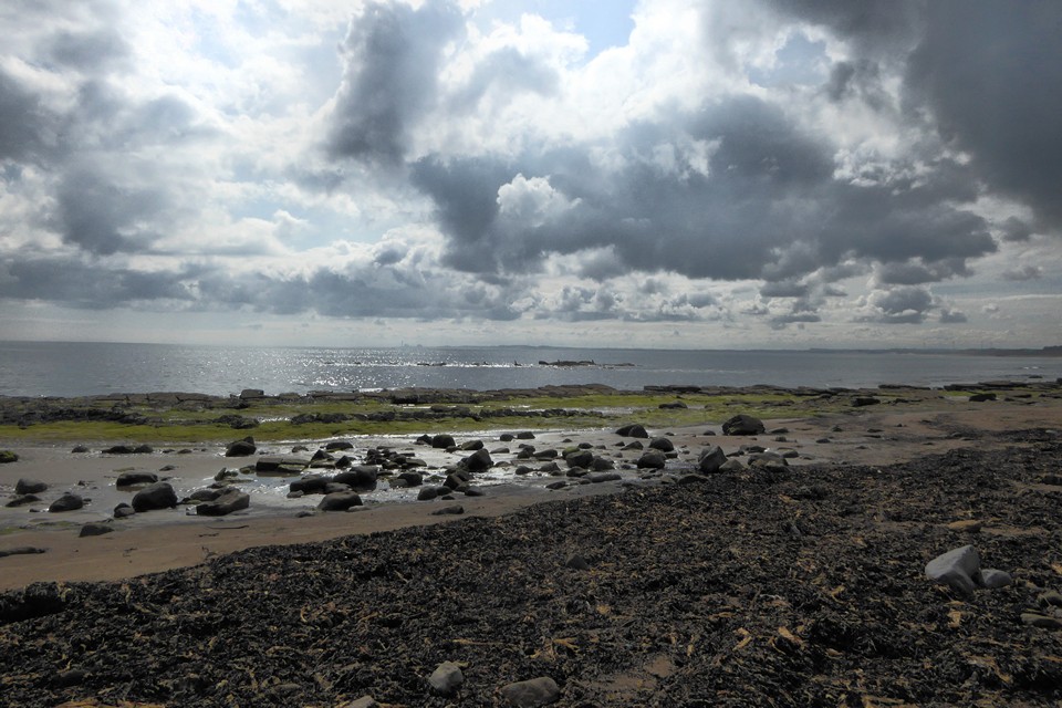
Looking across Druridge Bay towards Lynemouth from Low Hauxley. This scene would have been filled with woodland in the Mesolithic,

Another fallen tree in the peat layer.

Tree trunk protruding from the ancient peat layer at the base of the Low Hauxley dunes.


The reconstructed cairn next to the wildlife reserve visitor centre.


The relocated cist and semi-reconstructed cairn.

From the footpath to the east.


Surrounded by summer gorse and heather.

The hill topped with wispy cloud is Cronk ny Arrey Laa, with another Bronze Age cairn.


Looking southwest, with the Calf of Man to the left.

Looking southeast. Note the fine kerb at the base of the cairn.


