


The southeastern flank. The stones in the foreground are the remains of the drystone wall that used to surround the monument.


The nearest we got to the barrow, at this point I was being shouted at to leave the open hill as the thunderstorm was practically on top of us – the stone circle will have to wait for another day!

Burton Bole round barrow, covered in heather and surrounded by shin-deep tussocky vegetation.

Shatton Edge from the southwest. Burton Bole round barrow is near the highest point, set a bit back from the edge. Smelting Hill stone circle is over to the right, somewhere.


The terrific view east from the barrow.


Despite the erosion, it’s a pretty well preserved monument.

The barrow was in the process of being fenced off to reduce erosion.

Approaching from the west. The barrow on the right, the Great Ridge stretching away to the left from Mam Tor in the centre.

Looking west towards Chelmorton Low, which has another round barrow on top of it.

The eastern chamber, looking towards the prominent Priestcliffe Low, which has a round barrow on top of it.

The overgrown western chamber, with the eastern behind.


Landscape context from the west. The tomb is behind the trees.


The two largest slabs, forming the southeastern end of the pit.
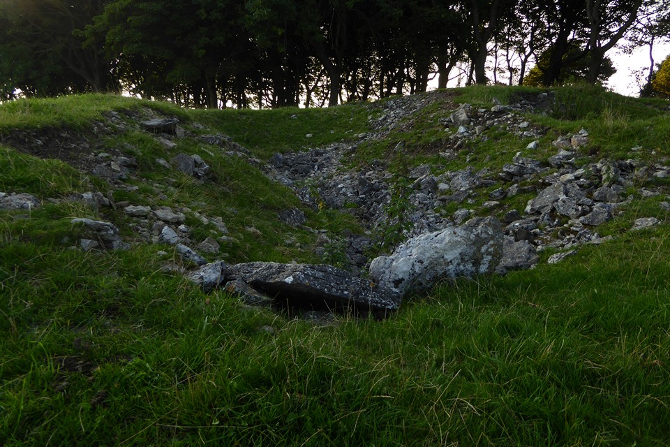

Showing the smaller slabs on edge on either side of the pit.


Looking south-ish across the pit with the slabs.

The eastern ramparts, the one part of the earthwork that survives to any height.

Looking across the site from the west. The western rampart would be in the immediate foreground, but it would take a real eye of faith to see anything of it.

Looking across the site from the southeast. The course of the rampart is just visible as a lighter green line.

The low line of the southeastern rampart runs across the picture, parallel with the fence, but is very ploughed down.


The southwestern side, where only the inner rampart remains, the outer rampart ending on the right of the shot.

The line of the destroyed southern ramparts next to the river.

Outer rampart and inner ditch towards the south of the fort, where the diversion of the River Stiffkey destroyed the earthworks.


