


Southern section of the eastern ditch and bank.

The counterscarp bank (see Chance’s Misc. post).


Low bank and shallow ditch north of the entrance, eastern side of the fort.

At the western end of the fort, a “funnel” leads you up into the interior of the fort. I couldn’t work out if this is natural or a deliberate design.

The fort’s promontory position on one of the last eminences of the Cotswolds escarpment ensures it enjoys far-reaching views westwards. Somewhere down there is the Stanton Drew complex.

Natural defences, viewed from the northwest.

The northwestern flank, which appears to be natural scarp on which the promontory fort sits.

North Stoke Camp seen from Hanging Hill to the north, with the Mendips beyond.

There are plentiful lumps and hollows here, presumably evidence of quarrying.

General overview of the scrubby site from the north.

Seen from the west. The barrows are at the eastern end of the ridge, beyond which the ground drops away to Lam Brook, a tributary of the Avon.

The eastern barrow. The trees from Moss’s pictures have been reduced.

The eastern barrow, a kidney shaped mound – possibly from the addition of material from the excavation of the western barrow.

The western barrow. The top has been scooped out in the usual way.

Western barrow in the foreground, with eastern barrow behind.


Seen from the road to the NNE. Cribyn and Pen y Fan are the substantial mountains on the left skyline.

The northwestern scarp face of Fan y Big above Cwm Cynwyn.


Looking towards Upper Neuadd reservoir and cairns.

Details of the cairn material. Apologies for the blurriness, it was difficult to stand up in the wind!

Looking west across the cairn, towards the source of the Taf Fechan.


Landscape context for the various Bronze Age monuments of the Blaen Taf Fechan. Seen from Tor Glas, near another possible BA cairn.

Landscape context from Gwaun Cerrig Llwydion to the SE. I would have been closer to the rim of escarpment but for the gale force wind threatening to hurl me bodily over the edge.


The collection of smaller slabs on top of the mound.

The memorial plaque inside the cairn. An aircrew of eight from homes all over the United States ended their lives on this lonely Welsh mountain.

I was very taken with this smooth, pinky-orange stone which is scattered liberally in the cairn and on the slopes of Arenig Fawr.
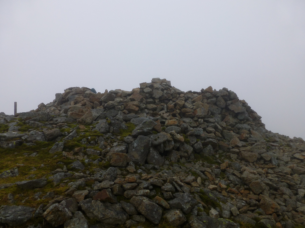

The world ends less than 100 yards south of the cairn.

From some angles it looks almost intact.

Approx. position of Garnedd Wen in its landscape, seen across Llyn Arenig Fawr and Llyn Celyn from Y Castell below Arenig Fawr.

Detail of some of the cups.


Pair of sarsen boundary stones alongside the Ridgeway west of Barbury Castle hillfort.

The Ridgeway north of Hackpen Hill, seen from the ramparts of Barbury Castle.

The Ridgeway runs the length of shot, between Barbury Castle hillfort and Hackpen Hill, seen from Uffcott to the northwest.


Looking down on the neighbouring strip lynchets from the southern flank of the fort, into the low winter sun.


The silted up ditch, Somerset stretching away on the left horizon.

General view along the southern flank of the fort, from the SE corner.


