
The original entrance on the east side of the fort.
Image credit: A. Brookes (15.3.2014)

The original entrance on the east side of the fort.

The eastern ramparts are covered in mature trees and the ditch is pretty overgrown (right), but nevertheless the earthwork is clearly defined on this side of the fort. The interior of the fort is on the left.

The northeastern corner of the fort. The interior is on the left, the rampart falls away steeply on the right.

The northern rampart. The road occupies what would have been the ditch.

The information board, including plan of the site.

Looking back towards the fort on its hilltop spur, from the Ridgeway long distance path (not the actual Ridgeway) to the south.

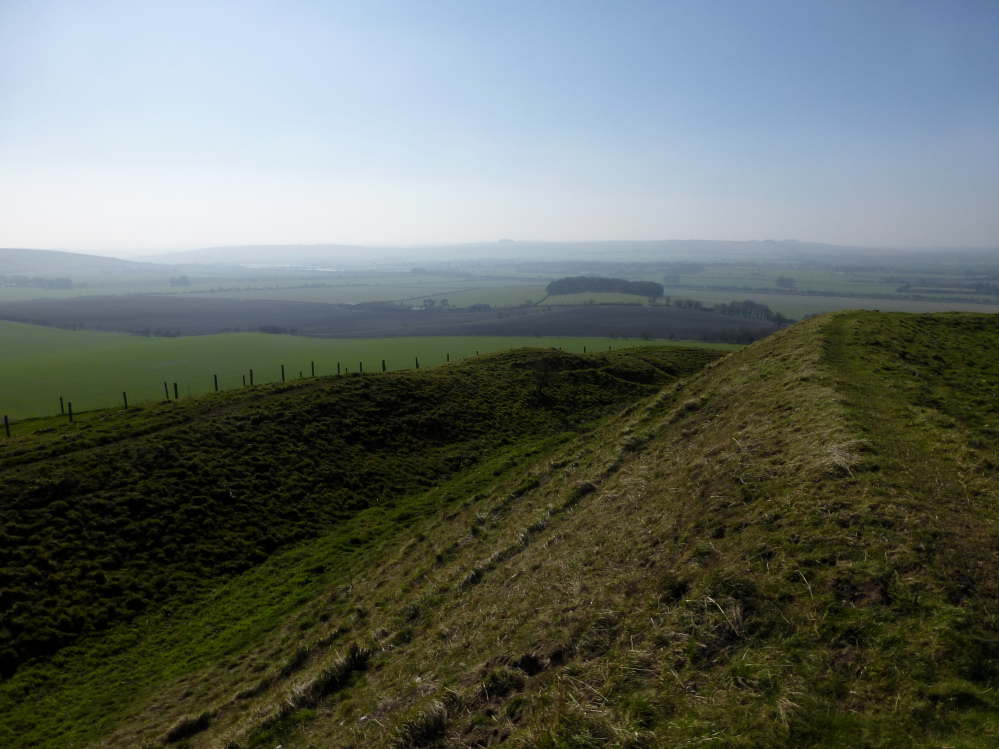
Looking SW, the Marlborough Downs fading into blue in the distance.

The northeastern section of the impressive single rampart.

Looking NW towards Swindon along the ramparts, from the trig and toposcope.

Looking towards the eastern entrance.

The “causewayed” entrance on the east side of the fort.

Under an astonishingly cloudless sky, the hillfort dominates the Ridgeway, running below its northern flanks.

A couple of dumped sarsens a little further SE along Day House Lane from the circle.


Roadside view, looking SE. Liddington Castle hillfort occupies the right-hand end of the hill on the skyline.

Seen from the south the fort is very prominent, despite being a low-lying spur of a much bigger mountain massif, itself kept largely out of sight by the contours.

The Sugarloaf/Pen-y-Fal seen from the Grwyne Fechan valley to the northwest. The cairns are on the flatter spur on the right.


With Pen Twyn Mawr rising on the right.

Almost four years since my last visit, I still haven’t seen a better-placed standing stone.

The possible cairn. I didn’t pay it much attention as it looks like a modern marker cairn and is at a junction of footpaths. Pen Allt-mawr, with much more definite Bronze Age monuments, rises across the Grwyne Fechan valley.

Looking north to the high Black Mountains peaks of Pen y Gadair Fawr (far left) and Chwarel y Fan (centre-right). Some of the stones in the cairn have been painted red or blue, for reasons best known to the kind of people who carry cans of paint up mountains.

Pen Cerrig-calch rises in the centre, above the Grwyne Fechan valley. Hillforted Crug Hywel (Table Mountain) is the spur on the left, be-cairned Pen Allt-mawr the dark mass on the right. The viewpoint is Blaen-yr-henbant to the east.

Standing, the slab would have had a pointed top, similar to nearby Standard Street/Great Oak.

The northern stone is much bigger than its southern companion, as rucksack for scale shows.

On the right you can see where the stone used to stand.


Radar was working at full strength for once. Very chuffed to have found this.

The southern stone is a short (less than 1m) and very angular slab of – presumably – sandstone.

Is it another tree stump? No! Face to face with the “lost” southern stone.

Looking north towards the village.

Looking east, the Grwyne Fawr river runs through the trees in the background.


Landscape context from the track leading from the three sites to Carreg Garn Fawr.
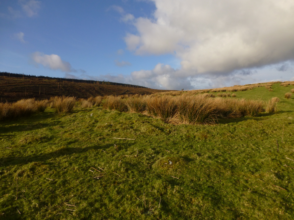
Looking NW-ish. The dark forest hides further cairns (Garn Wen and Carn Twrch).

The encircling bank is best preserved on the southern side of the ring cairn.


Looking SW into the low winter sun, towards Carreg Garn Fawr cairn and stone.

There is a terrific view of Y Mynydd Du on the skyline from the circle.

Stones in the eastern arc, including the biggest stone in the circle on the left. Looking across to Irfon Forest.

Some of the buried fallen stones barely protrude above the grass and moss, but are quite substantial once revealed.

Looking approx. north across the circle.

Small stones in the western arc of the circle. Postie is on the opposite edge, showing how big a circle this is.


