

Much of the defences rely on the natural slopes of the hill.

Inner entrance at the southwestern side of the fort.

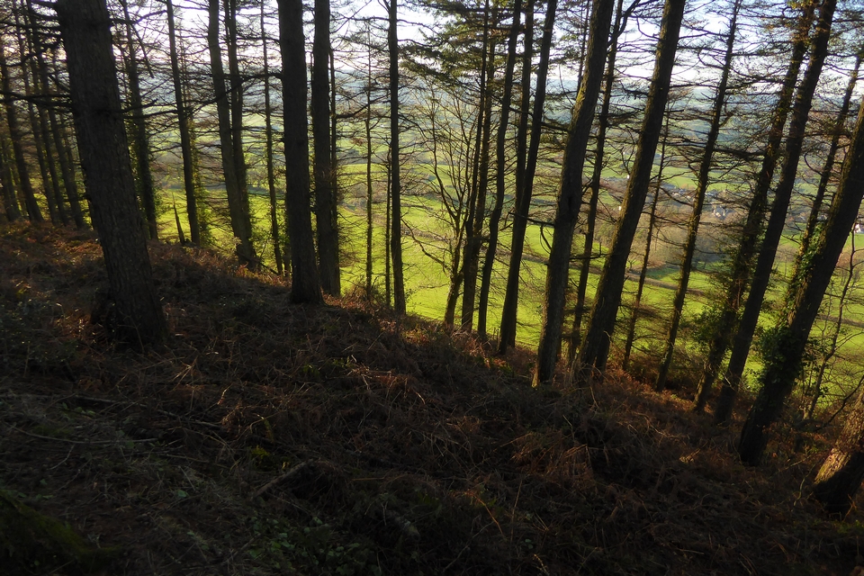
Looking out from the southern rampart across the ravine separating the fort from Coombe Hill and Goram’s Chair.

Looking from the ramparts towards the folly castle.


The top of the northern rampart, showing evidence of stone construction.

The info board at the site. I like the Bronze Age fez-wearing guy.
(C) Dandi Creative Design.

With splendid steel sculpture for company.

The lightly-pitted top of the mound.


The southwestern flank. A further double bank and ditch is lower left, with caravans and boats parked on it. The hill rising beyond is Bradlow Knoll/Frith Hill.

Standing on what remains of the southern rampart, looking towards the Malvern Hills.

Looking up towards the hilltop enclosure from the east. The low remains of a southern rampart run diagonally from middle left to lower right.


Looking from the hilltop enclosure over the southern part of the site. You can see the low remains of the southern bank running across the photo, halfway down the field. Midsummer Hill hillfort is far left skyline.

The southwestern corner of the hilltop enclosure earthwork.

The northwestern rampart curving up from bottom left, seen from the road to the west. The hilltop enclosure is on the right.

Winter light on British Camp (far left skyline) and Midsummer Hill (right of centre skyline) hillforts, seen from Frith Hill a few miles to the west, below Bradlow Knoll.


Bradlow Knoll, helpfully signposted in case you get lost.

The southwestern annexe, looking towards the fort.


The outer bank at the northeastern end of the fort.
The very steep drop on the western flank, looking down on Musbury village and the Axe valley.

Looking along the inner northeastern bank.

Looking towards the outer bank from the inner bank at the northeastern end of the fort.

Tangled undergrowth on the massive inner bank at the northeastern end of the fort.

The ditch below the southwestern bank, looking along the annex towards Seaton and the Devon coast. The prominent wooded hill to the left of centre is Hawkesdown Hill fort.

Fort interior from the southwestern bank.

The massive bank at the southwestern end of the fort.

Modern-day site layout, showing the areas destroyed by gravel extraction. From the Gloucestershire Wildlife Trust info board on the site.


The Devil’s Chair at midwinter. No sign of Owd Scratch.

The hillfort from Carding Mill Valley below as dusk approaches. The bank and ditch can be seen clearly.

The NE barrow skyline profile, from the northeast.

The top of the NE barrow has been reclaimed by the heather since my previous visit a dozen years ago.


Looking east across the top of the SW barrow towards Caer Caradoc, Hope Bowdler Hill and Brown Clee.

Looking west across the top of the SW barrow towards The Stiperstones.

The ravaged northern flank of the SW barrow.


The barrow is densely covered in heather. Looking ESE.

Looking south. There are lots of barrows along the Long Mynd ridge. The high hills on the distant skyline to the right of centre are the mountains of Radnor Forest.

The top of the barrow shows a central excavation pit. Looking towards The Stiperstones.

The barrow in skyline profile, seen from the east.

Looking west. The skyline hills are Heath Mynd (cairn), Corndon Hill (many cairns) and The Stiperstones (cairns). It’s probably possible to see Pumlumon and maybe Cader Idris between Corndon and The Stiperstones.