
“Shield” Stone and quoit.
Image credit: A. Brookes (27.6.2014)

“Shield” Stone and quoit.

The “Shield” Stone. The shield shape occupies the lower right-hand tip of the stone. The light isn’t ideal to see it, unfortunately.

Seen across Lindsway Bay from the northwest. The earthworks cutting off the end of the headland can clearly be seen.

The outer bank is so low that we had assumed it was just counterscarping for the ditch. Presumably it has been ploughed down, while the inner bank has remained relatively intact.

Looking across Dale Roads from the western end of the rampart. A further fort, at Dale Point, is visible from here.

The western end of the rampart is far less overgrown, but also far more damaged by erosion due to exposure. There are some advantages to brambles.

The overgrown interior of the fort. We had a date with a tide timetable and no machetes, so we didn’t get further in than this.

Looking east along the overgrown inner bank, showing the positions of the other two intervisible cliff forts guarding the access to Sandy Haven.

The 150m long rampart is best preserved at its eastern end, but unfortunately is also very heavily overgrown.

The hump of the inner bank stands prominently, right of centre.

The prominent headland site seen from the neighbouring Little Castle Head fort to the NE.

Seen from the east, coastal erosion has provided a cross-section of the defences and the fort interior.

Looking down from the bank into the external ditch.

The little bay now forming the western side of the fort. This is likely to have eaten into the original extent of the site.

Looking across the fort interior towards the narrow neck of the headland and the single rampart.

Jagged rocks on the east flank of the fort. Looking across the bay towards South Hook Rath.

The rocky tip of the fort’s interior, looking across Milford Haven to Angle and the Castlemartin peninsula.

Looking from the fort to the neighbouring (and much larger) coastal fort of Great Castle Head.

Inside the defensive bank.

The defensive earthwork bank.

The outer face of the single bank. There is no sign of an entrance, suggesting that a substantial part of the fort has been taken by coastal erosion.

The newly re-erected quoit. Splendid.


A nicely proportioned red sandstone standing stone, being enveloped by the vegetation since being moved to the hedge.

Like your stones shamefully dumped in hedges? This is the place for you.


Overview of the single earthwork from the northwest.

Looking out across Milford Haven (the water, not the town) towards South Hook Point and Stack Rock.

The marginally less overgrown southwestern section of the site. The grey blob in the distance (left) is Stack Rock, site of a striking Victorian fort.

Looking along the single ditch. The site is very overgrown.

The single earthwork, seen from the SE. Coflein suggests that much of the original interior has been lost through coastal erosion.

Landscape context in pouring rain, seen from South Hook Point. The wide estuary of Sandy Haven should be visible far left. Along with two further forts on the opposite side of the bay, access to this waterway, navigable at high tide, is overlooked from this site.


There’s a lovely atmosphere here on a sunny Spring day.


The impressive bank and ditch on the northwest of the fort.

Looking west from the fort to the Devil’s Punchbowl.

Northern rampart and extensive views off the downs over Oxfordshire.

NE rampart. The ditch is still pretty deep.

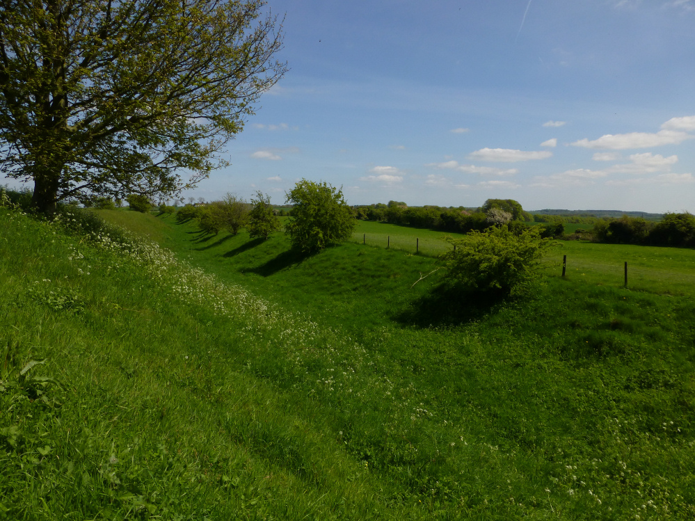


There are extensive views across south Oxfordshire from the top of the mound.
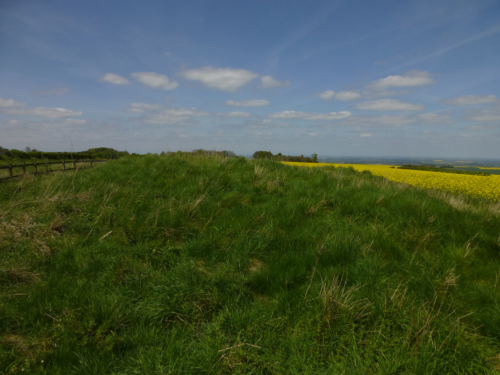

Not a bad barrow at all. From the ESE.

Long zoom on the low mound.

Goddard’s Barn round barrow stands out as a lighter green in the centre. Seen from the SW.

The Ridgeway runs across the shot, along the top of the ridge (obviously). Segsbury hillfort is approx. centre. The viewpoint is Lark Hill, south of Wantage.