


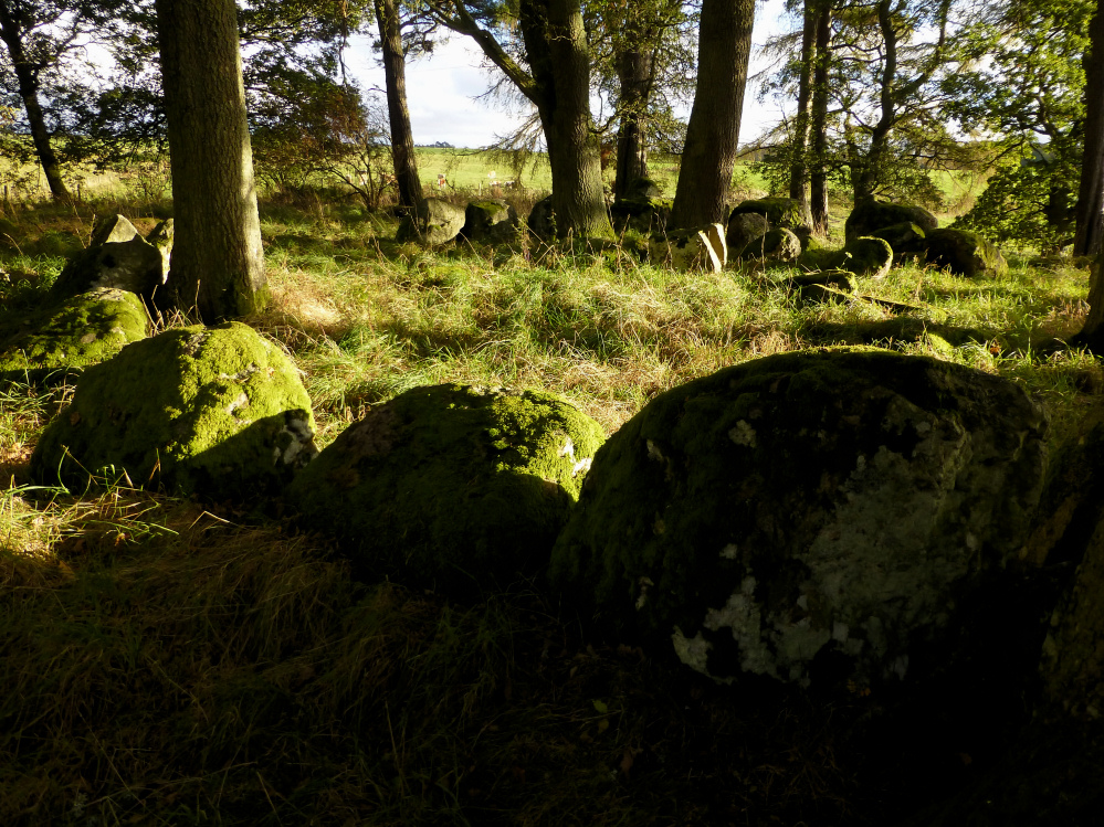
Detail of the beautifully graded kerb.

SE arc of the surrounding stone circle.


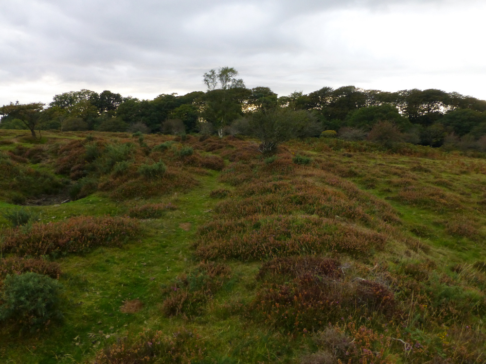
The southern arc of the inner earthwork.


The best-preserved section of the outer bank, on the west of the site.


Big stone built into the bridge (see misc. post).

Some more of the “cupmarks” on the stone across the field.

Detail of some of the possible cupmarks, which are large, deep and quite irregular.

The maybe fallen, maybe cupmarked stone down the field from the chambers (visible top left).

The northwestern chamber, facing towards Dinas Island. The “cupmarked” stone can be seen across the field to the left.

The northern chamber – huge capstone, tiny orthostats. This one looks more like the semi-earthfast tombs around St David’s and Strumble Head.

The eastern chamber, the only one missing its capstone.

A bit more overgrown than some of the recent pictures show.

Dismounted capstone in front of its chamber.

Looking NW, with Dinas “Island” beyond.


The thatch on the larger houses extends almost to the ground.


Complex roof structure inside one of the larger houses.

Posts mark the position of further roundhouses.

The inner bank curving towards an entrance (original?) into the settlement.

The inner bank rises to an impressive height on the left.

Inner bank – the main defences. The ditch is long-since filled.


Slight outer earthworks and some suitably Iron Age-ish sheep.

The site from the north. The Preseli hills form the skyline backdrop, with Carningli on the extreme right.

The eastern flank of the promontory.


The delicate and graceful silhouette from the ENE.

The mound surrounding the chamber occupies a big area. Somewhere on the hills on the right skyline is Llech-y-Drybedd.


The classic Cotswold-Severn horned facade.

Framing the rocky hillfort of Carningli.

Afon Teifi from the higher ground immediately above Carreg y Fendith. One of South Wales’ key rivers, how far back does the blessing of the river and fishermen go on this spot? Further back than the Abbot of St Dogmaels maybe.

From above, the stone does rather resemble the Llech-y-Drybedd capstone.

The stone is positioned just above the waterline of the Afon Teifi, but was it always here?


The stone in its drystone surround.

Seen from the crumbling cliffs to the north. The bank and ditch are clearly silhouetted on the left of the picture (under the rain splodge).

The rampart seen from the coast path. Unfortunately there is no access as a cottage blocks the eastern approach.

Seen from the southwest. The cliffs beyond are the highest on the Pembrokeshire coast, so plenty of natural defence.

Great site, one to come back to on a sunny day.