
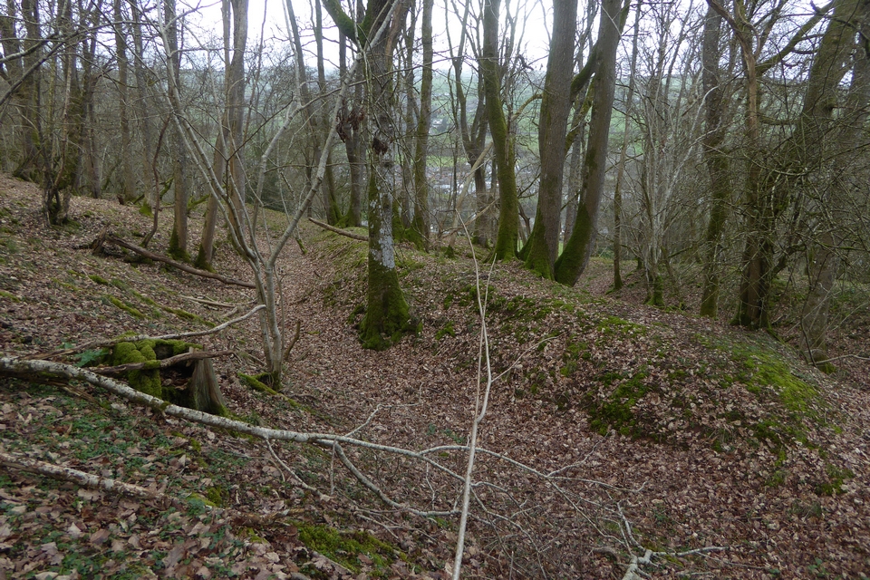
There’s a break in the banks where a stream cuts through, it’s not clear whether this was the case when the fort was in use, but the stream follows a natural course above the earthworks.
Image credit: A. Brookes (25.3.2023)
There’s a break in the banks where a stream cuts through, it’s not clear whether this was the case when the fort was in use, but the stream follows a natural course above the earthworks.


The open interior of the fort, looking towards Pen y Beacon and Twmpa, Black Mountains.


Multiple banks on the western side of the fort.
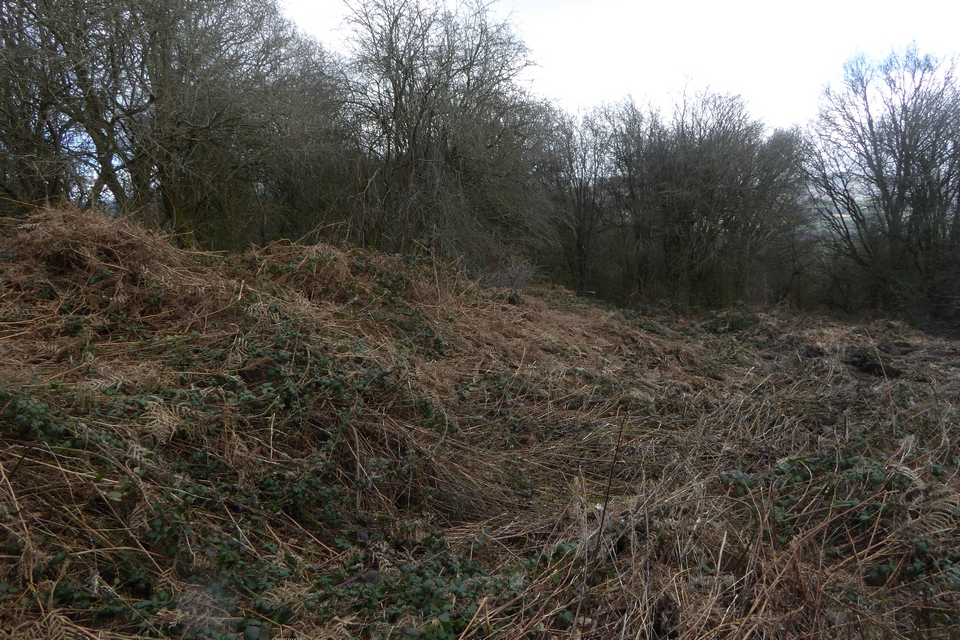
The southern end of the western bank, very overgrown even in March.

Looking southeast across the enclosure towards Pen y Beacon/Hay Bluff. There is a great panorama of the Black Mountains from this ridge across the Gwy, but views from the enclosure are mostly blocked by trees.

Underneath the swathes of dead vegetation there’s quite a decent earthwork.

Where the western bank is cut through by the minor road.

The northern bank, curving round towards the right of the image.

Looking northwest across the overgrown interior of the site.


Looking across the multiple lines of defences from inside the fort.


The steep drop from the fort down to the valley to the west.

Looking north from the hillfort. The prominent hill on the skyline is Garth Hill, topped with some very large Bronze Age barrows.

The third rampart in the foreground, with the inner (fourth) rampart beyond.

Looking towards the outer rampart of the fort from the second line of defences.

Looking from the outer rampart of the hillfort over the multiple lines of ramparts protecting the southern approach.

The northwestern bank of the southern earthwork.

The inner northwestern rampart of the southern earthwork. The path runs along the ditch between the inner and outer banks.

Mynydd Machen seen across the Sirhowy valley from Mynydd y Lan to the north.

Looking north towards the higher ridges above Tredegar and Glyn Ebwy/Ebbw Vale.

Arc of the surviving rim of the barrow.

Showing the proximity to the nearest mast compound, which is just to the SW of the barrow.

The small round barrow with dug-out centre. Looking SSE towards the summit of Mynydd y Lan.


Apart from the damage on the top, the stonework is well-consolidated in the mound.


Central enclosure earthworks.

Looking across the multiple banks of the central enclosure.

Southwestern arc of the central enclosure, looking towards Mwmbwls.

Concentric earthworks of the central enclosure.

Looking down on the central enclosure from the outer banks. The prominent hill to the right of centre is Mynydd Marchywel, with Y Mynydd Du distant far right skyline.

The inner/lower of the two outer ramparts. The uppermost/outermost rampart is to the left, parallel with the fence.

Uppermost/outermost rampart, southern side of site.

The uppermost/outermost rampart along the southern side of the site. Looking down towards Castell Nedd/Neath.

The footprint below the turf. The rampart of Buarth y Gaer hillfort can be seen on the skyline above.

Looking down on the Vale of Neath. I suspect some of the larger stones may be field clearance.

From the west. The field gate over on the right gives easy access to the cairn and hillforts up a forestry track from the east.

Looking north towards the distant mountains of Y Mynydd Du.
