
Not all the structures in the settlement are round.
Image credit: A. Brookes (8.11.2014)

Not all the structures in the settlement are round.

This structure has a long, curving entrance passage.


Sometimes it pays to endure a downpour.

Probably the best round houses I’ve been to outside Cornwall. The sun finally joined us.

Two large round houses at the eastern end of the settlement, with the top of hillforted Holyhead Mountain/Caer y Twr visible beyond. The last of the heavy downpour.

Looking NW towards the Holyhead Mountain round house settlement, our next destination.

Lighter skies to the southeast highlight the proximity of the coast, but Snowdonia beyond is entirely absent.


Between heavy November downpours, looking north.


From the southwest as the sky went all moody.

There are a couple of exposed limestone blocks on the mound. These might have come from a former drystone wall that used to surround the barrow, as likely as being from the barrow itself.

From the east, the rather slumped profile of the barrow’s top is more apparent. Damage has been caused by tree roots (there used to be more trees on it than there are now) and probably animal burrowing.

From the northwest, as the last of the day’s sunshine disappeared.

Unfortunately the highest part of the rampart on the southern side is also the most overgrown, in contrast to Emma’s Spring pictures.

The best section of rampart is along the south side of the fort.

Limestone scatter at the base of the rampart may indicate that the banks are partly stone-built. The fort has not been excavated.

The bank at the southwestern corner of the fort.

The fort enjoys a good view across the Churn valley to the southwest.

The low western rampart.

At the northeastern corner of the rampart, it’s easy to see that the fort does not occupy the top of the hill, but rather a position some way down the dip slope.

The rather featureless interior of the fort, under a fleeting burst of sunshine. The eastern rampart across the field is all but ploughed away.

The bank and ditch on the north side of the fort.

Approaching the NW corner of the site. The ramparts here have been much reduced by ploughing.

The remaining stone of the probable stone circle.

Lovely swirly stone of the remaining kerbstone. I think this might be gneiss, but very happy to be corrected.

One of the bigger slabs in the mound. The sharp edge indicates that it was once bigger.

Looking southeast across the Nairn Valley. Although the main sites of the Clava group are too low-lying to be visible from here, Culdoich South (in front of the prominent knoll under the tree-line) is intervisible with Culchunaig.

There are some big stones in the cairn. The pile in the background looks to be field clearance, but who knows?

One standing stone remains of a probable surrounding circle. The big upright beyond is the remains of the kerb.

I’ve gotta be honest, the whole monument-as-feeding-station thing doesn’t really work for me.

The first thought as I approach up the gently sloping field is: “big standing stone – yay!“. The second thought is “what the hell is that in front of the monument?”


Amazing what a bit of bracken can conceal.

The kerb is surprisingly high on the mound.


A fine and mostly intact kerb emerges from the flattened bracken.

Strange that such a fine and prominent monument passed everyone’s attention until the 1990s.

On first approach, the cairn could be an earthen barrow, with bracken obscuring anything stony.

Elevated view of the site from the hillside to the SE. The River Nairn is hidden by the trees in the background.

Elevated view of the site from the hill to the south.

Enough remains to more than repay the minimal effort of a visit.

Some of the larger blocks in the mound appear to have been kerb stones.
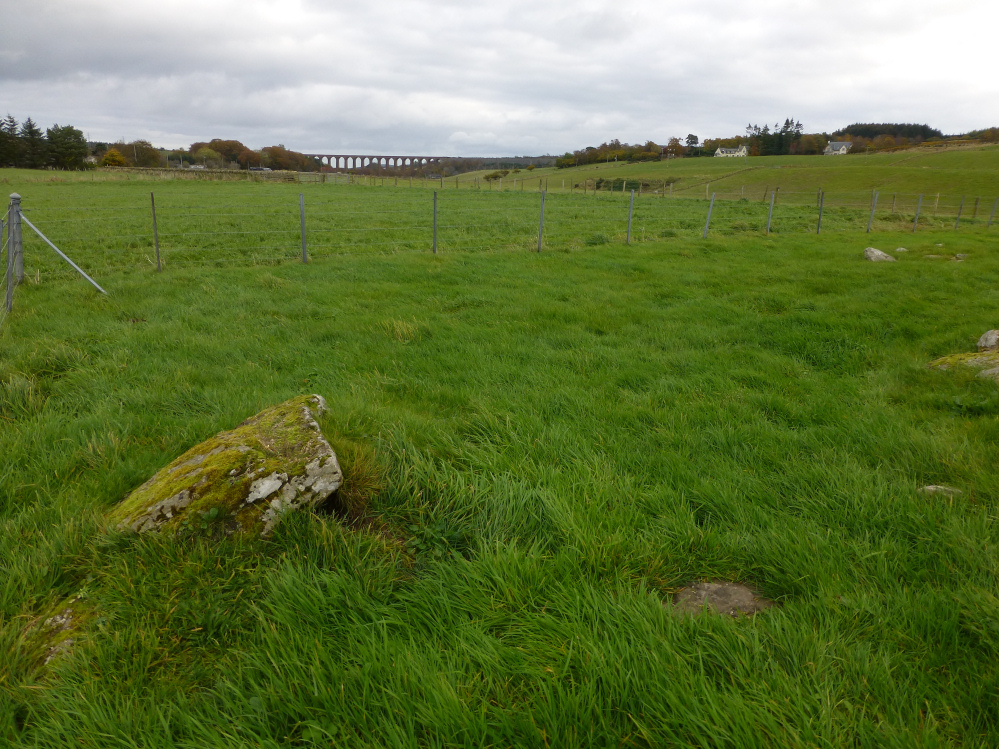
Fallen(?) stone to the north of the cairn. The site is so disturbed that it’s not possible to tell what – if anything – this was part of.

The cairn is very badly disturbed. Could the stone in the bottom left corner have been a circle stone?

The excellent “playing card” standing stone.

Grey skies over Miltown of Clava.
