
Cairn with cist at SH72257366. Moelfre and Bryniau Bugeilydd beyond.
Image credit: A. Brookes (10.11.2014)

Cairn with cist at SH72257366. Moelfre and Bryniau Bugeilydd beyond.

Final shot of the mystery “cairn”. The apparent modern burial cairn, with wooden cross, is over on the left.

The mystery “cairn” on the southern edge of the flat plateau between Foel Lwyd and Moelfre.

We found this sizable structure immediately below the 450m contour (very approx SH723735), where the ground levels off to a flat plateau between Foel Lwyd and Moelfre. It’s not on Coflein or the GAT database. It looks like a cairn rather than a sheepfold, but part of it has been reused to form what looks like a modern burial cairn. It’s also not on the air crash sites database.

General view across the cairnfield from the slopes of Foel Lwyd. In the foreground is something that looks like a re-used cairn, not on Coflein. Two other cairns we found are indicated. There are further cairns on Bryniau Bugeilydd in front of Moelfre, which has its own.

The weather closes in on the neighbouring Carneddau peaks, the highest Bronze Age cemetery in Wales.

For a mountain so extraordinarily circled by prehistoric monuments, the lack of a summit cairn must be deliberate – surely?

A near-reverse of Gladman’s previous image. Pen-y-Gaer overlooking the Dyffryn Conwy/Conwy Valley. From the slopes of Tal y Fan.

Drum/Carnedd Pen y Borth Goch seen from the slopes of Tal y Fan.

A brief sunburst on the slopes of Drum.

Clouds gather over Y Carneddau, plunging the circle into gloom.


Across Dyffryn Conwy. The first “bump” on the ridge to the right is Pen y Gaer hillfort. The second bump is the be-cairned top of Pen Llithrig y Wrach.

Looking towards Maen-y-Bardd burial chamber.


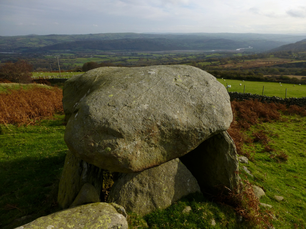
Dyffryn Conwy in autumn.


The lower slopes of Tal-y-Fan rise behind.

With Maen-y-Bardd’s capstone silhouetted on the right.

South towards Pen y Gaer hillfort and Pen y Gadair.

Tomb with a (slightly restricted) view.

Looking across the beautiful Conwy Valley.

The NE-facing entrance, with the Carneddau rising behind.

The tomb and its attendant megaliths. The lower side is rather more overgrown than in previous photos.

Landscape context from the low-lying Conwy Valley to the east. Cerrig y Ddinas is on the right, Tal-y-Fan over to the left.
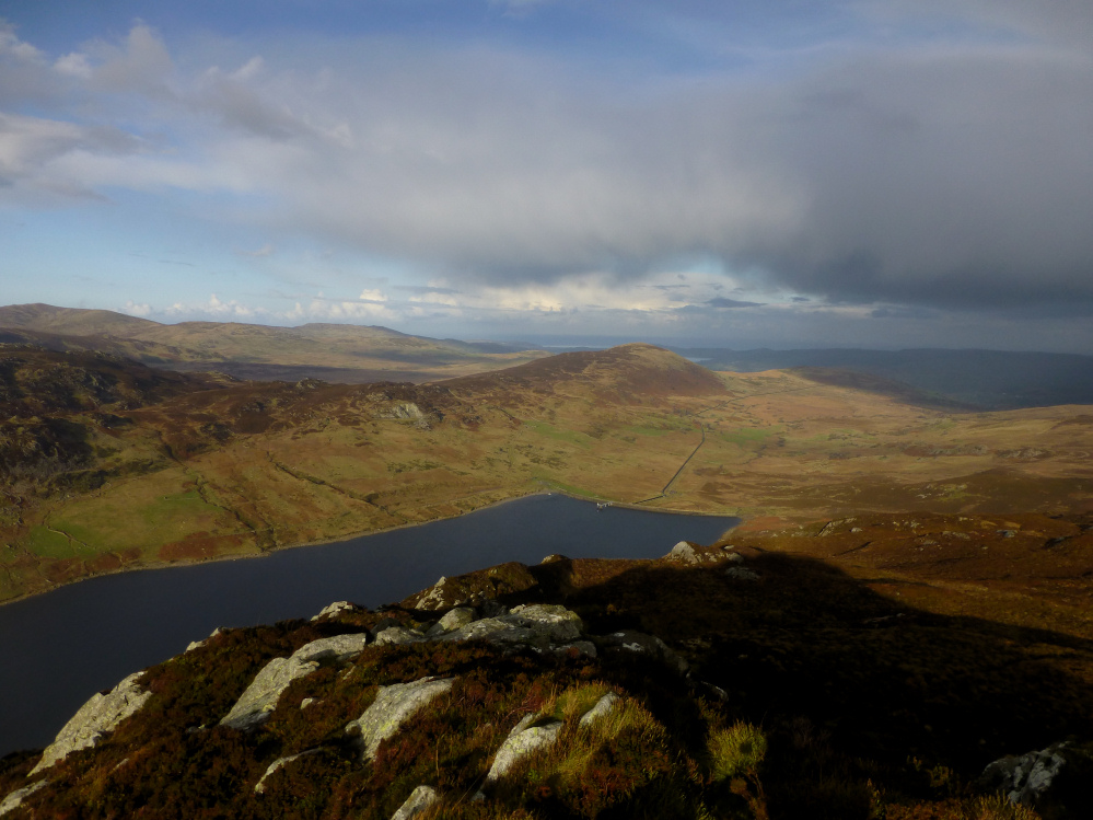
A reverse of Gladman’s dusk image, taken from the northern summit of Creigiau Gleision. The settlement would be far left I think. The hill in the centre is Moel Eilio, behind which is another settlement and the Cae Du ring cairn. Tal-y-Fan, surrounded by lots of sites, can be seen in the distance.

The wonderful landscape of the northern Carneddau, seen from Creigiau Gleision to the south. Tal-y-Fan is the flat-topped mountain (it’s not really flat) just to the right of distant centre.

Pen Llithrig y Wrach (centre), seen across Llyn Cowlyd from the north ridge of Creigiau Gleision. Tryfan can just be seen to the left, Carnedd Llewelyn rises behind on the right.

Long zoom from Creigiau Gleision.

The clouds finally peel away to reveal the Glyders, with Tryfan stage centre. The viewpoint is Creigiau Gleision to the east.

A little bit of gloomy landscape context, seen from Crimpiau to the NE. The cairn with cist and little standing stone are just beyond the two lakes. Moel Siabod, with its summit cairn, rises on the left. The ridge on the right is the location of the Bwlch Goleuni long cairn.

Moel Siabod with its head in the clouds on the left. Seen from Nant y Geuallt to the northeast.

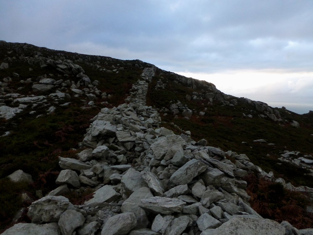


G/F gives some scale to the main entrance through the stone-built ramparts.

Looking down on the eastern ramparts, snaking across the shot as lighter lines against the dark vegetation. Holyhead/Caergybi lies below.

Looking south across the rocky interior of the fort. The tip of the Lleyn would be visible on a clear day, the Penrhosfeilw stones are in the farmland below.

The foundations of the Roman signal tower on the highest point of the hill, in the centre of the hillfort. A simple re-use of a good strategic position, or making a point to the locals about their former stronghold?

The eastern part of the settlement.


Further round houses are up the slope behind this one.

Looking SSE across the bay.
