Image credit: Morfe

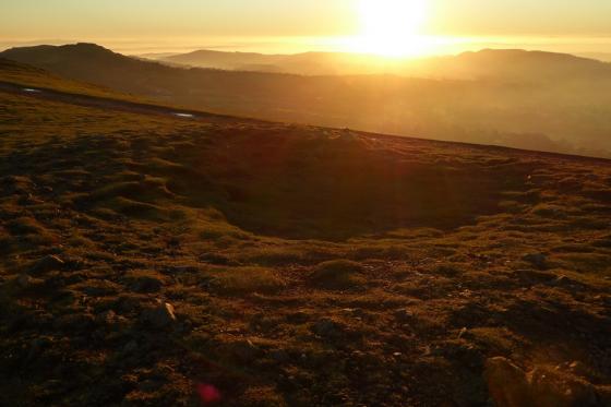
A hastily snapped view of the mound from M5 Motorway (Junction 7/A44) .
The junction is also named ‘Crookbarrow’ after the mound.
Note Malvern Hills range on the far left.

A hastily snapped view of the mound from M5 Motorway (Junction 7/A44) .
The junction is also named ‘Crookbarrow’ after the mound.
‘Visited’ 30.3.11
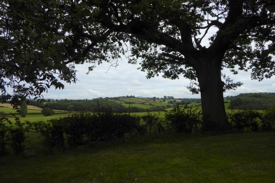
There doesn’t appear to be any easy public access to this site so I tool the easy option and viewed from afar! This ‘mound’ is massive. If it is man made it can’t be much smaller than Silbury Hill. Easily seen from the roundabout off Junction 7 of the M5. Well worth a look.
(Best if someone else is driving when having a look!!)
My Grandfather (a Bredon man) always told the tale of soldiers corpses from the civil war being buried under ‘Whittington Tump’ (Crookbarrow Hill). It has never been excavated to my knowledge, but there are many flint finds.
*************
There is some dispute whether or not the hill is natural or man-made, and if man-made, to what degree.
From “On The Ancient British, Roman, and Saxon Antiquities and Folk-Lore of Worcestershire” 2nd ed – Jabez Allies (1852):
“Cruckbarrow Hill, In Whittington
This fine conical elevation is most probably an ancient British broad barrow. ... It was in all likelihood used by the Romans as a signal station, as it overlooks Worcester, and the Roman Camp at Kempsey, and is nearly opposite to Powick: a few Roman coins are said to have been found here. In shape it is elliptical, and measures 512 yards round, within the ring fence at the base, and about 180 yards round the crown. It is commonly said to contain about six acres of land; but, measured horizontally within the ring fence, it contains 4A. 0R. 18P. The elevation is considerable. I consider the
is was partly a natural hill, but it owes its extreme regularity of contour to artificial means. The sides, which are sloped as evenly as a sugar loaf, are covered with a fine green turf. The ends of the oval stand east and west. According to the measurements which I have made, Cruckbarrow Hill is rather larger than Silbury Hill, in Wiltshire. Silbury Hill is said to be perfectly artificial, but Cruckbarrow only partially so.”
Jabez Allies (what a name) then goes into a great amount of detail about his research into the name “Cruckbarrow”. One older version of the name he finds in some title deeds is “Crugbarrow”, of which he states:
“Now, as the word Crug in ancient British and Welsh, and Cruach in Irish signifies a hill or heap, the name Crugbarrow appears to prove that the elevation in question was an ancient British hill barrow.”
Hmmm.