Image credit: Robert Gladstone

Just a touch of a breeze.... the deceptively large mound rises beyond Kentish woodland flora. The Mam C would know what these are. Naturally.

In lieu of anti-mountain bike round barrow protection mines..... I reckon leaving a log on top of such monuments is perhaps the best solution I’ve come across. Certainly an organic answer.

Despite positively itching to see what plant life inhabits Ashenbank Wood, the Mam C nevertheless performs scale duty.

Clearly the barrow was once home to several more trees, only the stumps of which now remain. Incidentally, that to right has been carved into a pretty nifty ‘chair’ dedicated to a (presumably deceased) local. Ha! What a lovely way to remember someone....

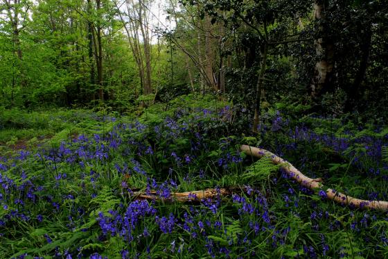
Looking north.

Looking North.
This round barrow stands in a clearing, at the highest point in Ashenbank Wood. It stands around 2m tall, with the ditch buried under the spread of the mound, and is around 22m across. It was partially excavated back in 1895 but work was restricted by a growing tree. As usual they failed to fill the hole completely leaving a hollow in the top on the mound.
Thankfully this barrow is protected and kept clear, with the trees downhill to the south almost thin enough to see through. To the north there is a covered reservoir, and all around the woods are the remains of a WW2 camp used to house those stationed at Gravesend airfield, so it’s probably lucky to have survived.
Apart from the fact that this is not on chalk, being a much more gravelly mix, this reminded me a lot of the barrow in Shoulder of Mutton Wood, both in shape, size and positioning in the landscape. When on grassland the view to the south would have been awesome, with probable views of the Thames to the north.
Access best from the carpark in Halfpence Lane, then a gentle 10-minute uphill stroll through mature oak woodland dotted with brick walls and other camp remains.