It doesn’t get much better than this
It doesn’t get much better than this

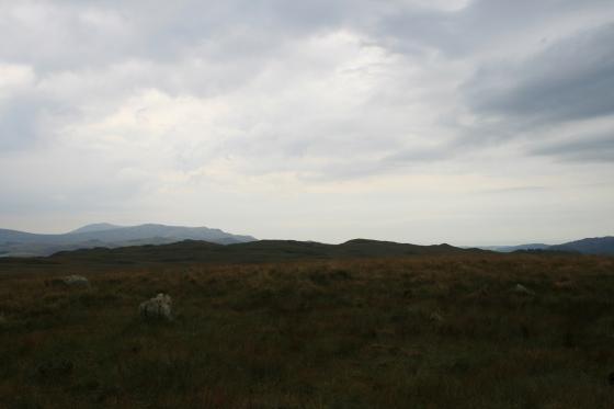
Boat Howe is just visible in the distance

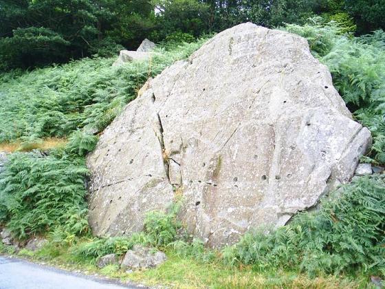
Maiden Castle cairn appears out of the long grass as you top the Eskdale to Wasdale col. This is obviously an old cairn, with the hoary old stones showning no signs of present use. I feel this is a very old burial cairn.
I walked here from Boat Howe following the ridge down from the Howe to Bulatt Bridge and then taking the left hand path towards Wasdale Head.
To find the cairn, once you have passed some broken down enclosure walls keep following the path up a sharp incline walk on a few more yards and then head east towards Hard Rigg, you should be able to see the cairn after a few yards.
The cairn sits on a col between Wasdale and Eskdale moor and as such may mark some form of territorial boundary, a liminal space. The setting couldn’t be any better with the drama of the southern fells laid out before it.
The SMR states that this is a round cairn topped with a tumbled drystone wall of a circular sheepfold. It also states that local tradition has it that this was once a beacon, one of a chain between Millom and Cockermouth.
Whatever it was, it is now a very special place and is well worth a visit if only to sit within it’s walls and watch the shadows of clouds move across the fells.
To return to the path, I would advise that you retrace your steps, the area south of the cairn is very marshy, as I found out to my cost. On the plus side, I picked a large bagful of wild thyme from this area and encountered a huge dragonfly.
Obviously an old cairn, the stones being covered in very old lichen. The centre has been cleared to make a shelter. It is situated to the NNW of Burnmoor Tarn. Is this anything to do with the Burnmoor complex? It’s marked on the map as an old cairn.