
Small alignment in the wilds of Donegal.
Image credit: ryaner
Small alignment in the wilds of Donegal.

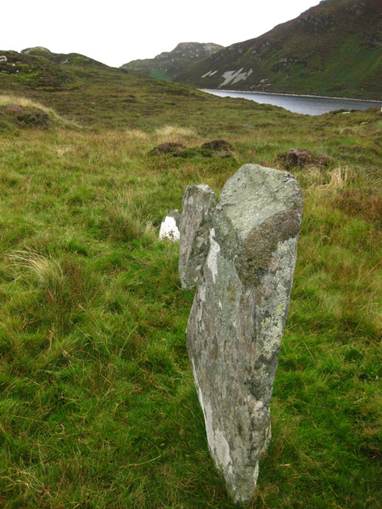
Lough Salt and the alignment.
Looking roughly north along Lough Salt.


Looking roughly south-south west.


