The Modern Antiquarian. Stone Circles, Ancient Sites, Neolithic Monuments, Ancient Monuments, Prehistoric Sites, Megalithic MysteriesThe Modern Antiquarian


Maen Llwyd (Cilgaden)

Standing Stone / Menhir (Destroyed)

Nearest Town:Kidwelly (4km SSE)
OS Ref (GB):   SN397112 / Sheet: 159
Latitude:51° 46' 33.5" N
Longitude:   4° 19' 25.71" W

Added by Kammer


Discussion Topics0 discussions
Start a topic


Show  |  Hide
Web searches for Maen Llwyd (Cilgaden)
Show map   (inline Google Map)

Miscellaneous

Add miscellaneous Add miscellaneous
At the time of writing, Coflein has no record for this site, but it's marked on the 1891 Ordnance Survey map as "Maen Llwyd". A later version of the same map available through Coflein Mapping (undated) has the site marked as "Maen Llwyd (site of)".

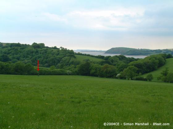
Maen Llwyd stood just below the gentle ridge that runs between Afon Towy and Afon Gwendraetheast. It seems likely that the locations of this stone and it's neighbour Is-Coed bear some relation with the water courses that run past them.
Kammer Posted by Kammer
11th November 2004ce