This seems to support Stubob’s story -
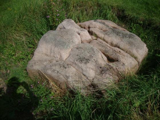
You mention, in your History of Leicestershire, a hill called Robin o’ Tiptoe, in the parish of Tilton. Upon the summit is a fortification, of an oblong square, which I take to be Danish, containing about an acre. There is one tree within the camp, in a state of great decay; probably not less than a thousand years old: from this, I apprehend, the hill took its name. I purchased the hill, with other contiguous lands, for 11,500l.
From a letter of 1813 by W. Hutton, reproduced in ‘Literary Anecdotes of the Eighteenth Century’ v9, 1815.
books.google.co.uk/books?id=_DwUAAAAYAAJ&pg=PA105
You can zoom right in with the Google satellite images.. but sadly there only seem to be cows and no tree. But you can see the enclosure very well.